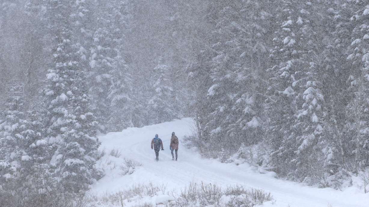
Avalanche hazard ‘considerable’ as weekend winter storm hits
Nov 24, 2018, 9:31 AM
Anticipated snowfall keeps chances of an avalanche "considerable"

Weekend rain and snow are making some forecasters at the Utah Avalanche Center nervous. Forecaster Greg Gagne says the threat of an avalanche is “considerable,” but could get elevated to “high” depending on how much snow falls and where it falls. Gagne rates the avalanche danger as considerable on the shady slopes in the high elevation areas above Salt Lake and Provo.
The avalanche danger is HIGH. Check the forecast before heading out.
— UtahAvalancheCenter (@UACwasatch) November 24, 2018
“Rooted in what happened back in October and earlier in November, early season snow on slopes above 9,000 feet on shady slopes that face west to the southeast that fall on top of weaker, sugary snow already on the ground increases the chance of an avalanche,” says Gagne.
Gagne says the likelihood of human-triggered avalanches is considerable in the Salt Lake and Provo mountains, especially on the shady side. Naturally occurring avalanches are possible as well. He says conditions are particularly hazardous for skiers riding a backcountry slope.
“You could be adjacent to one of these slopes and it could avalanche on top of you. You could not pay me enough money to ride a backcountry slope that faces in a northerly aspect,” Gagne says.
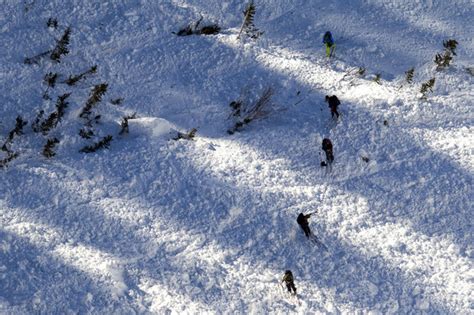
11/23 Natural avalanche just reported from along PC ridgeline (photo M. White). Dangerous and rising avalanche hazard. #utavy pic.twitter.com/6S7kA2vfZ4
— UtahAvalancheCenter (@UACwasatch) November 23, 2018
He says going forward, the avalanche hazard is less on the sunny side of the slopes, but a considerable or high alert could remain in place headed to the Christmas holidays. A huge storm that dumps six or seven feet of snow will actually lessen the chances for human-triggered avalanches.
He says one advantage of some of the premier Utah ski resorts is that they do regular avalanche control work.