First valley snow possible this week, according to NWS
Oct 8, 2019, 1:55 PM | Updated: Oct 9, 2019, 8:30 am
The Logan City School District will run on a two-delayed start on Wednesday, Feb. 1, 2023 due to frigid temperatures. The National Weather Services says windchills near Logan could be as cold as -30. File Photo: Getty Images
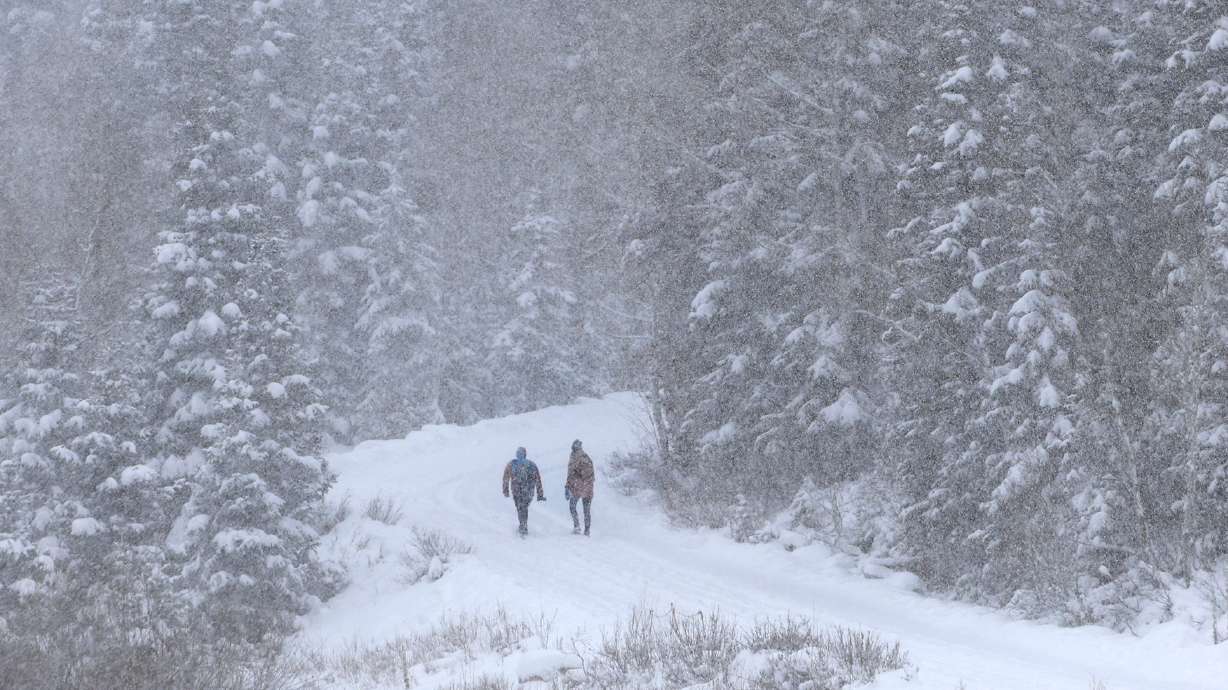
SALT LAKE CITY — That’s right, even though Tuesday’s temperatures didn’t feel like winter, it might have been one of the last days that we’ll be able to enjoy the warmth before the snow starts falling.
The upcoming storm system could bring the first light snow of the season to the valley floors of northern Utah Wednesday and Wednesday night. Brief lake effect snow could bring some locally higher amounts to the Tooele and Salt Lake Valleys Wednesday night. #utwx pic.twitter.com/wIqLVTprwI
— NWS Salt Lake City (@NWSSaltLakeCity) October 8, 2019
The National Weather Service has issued a hard freeze warning that goes into effect Wednesday night and will last through Friday for areas all along the Wasatch Front as a big cold front moves in.
This front also has some potential to drop valley snow in the yards of some across northern Utah.
Temps Wed PM & Thur PM will be near-record low (low-mid 20s) along the Wasatch Front. Brrr!
Thur daytime temps about 30°F COLDER than Tues temps.
Mtn snow for N. UT Wed & potential for a dusting of snow overnight on grassy surfaces along the Wasatch Front Wednesday night. #utwx pic.twitter.com/uyedtTJGzx— NWS Salt Lake City (@NWSSaltLakeCity) October 7, 2019
KSL Meteorologist Grant Weyman says that Tuesday’s warm October temps won’t last long, and we’re in for quite the cooldown by this weekend.
Grant says that most of the state will be in the 20s come Friday morning. He adds, we could see snow showers between 10 am and 2 pm on Wednesday. Grant also says that there’s the possibility of two to four inches of lake effect snow that could start late Wednesday heading into Thursday for the Salt Lake and Tooele Valleys.
STORM DETAILS! Here’s what you need to know about today’s storm: pic.twitter.com/87FIq92p06
— Grant Weyman (@KSLweyman) October 9, 2019
All kinds of watches and warnings… the two big ones… a FREEZE is likely Thursday and Friday morning… and the winds will be strong tomorrow afternoon in West Desert. pic.twitter.com/a7847MMZe3
— Grant Weyman (@KSLweyman) October 8, 2019
Along with the colder temperatures, the NWS has also said many areas in western Utah could also see wind gusts of up to 50 mph.