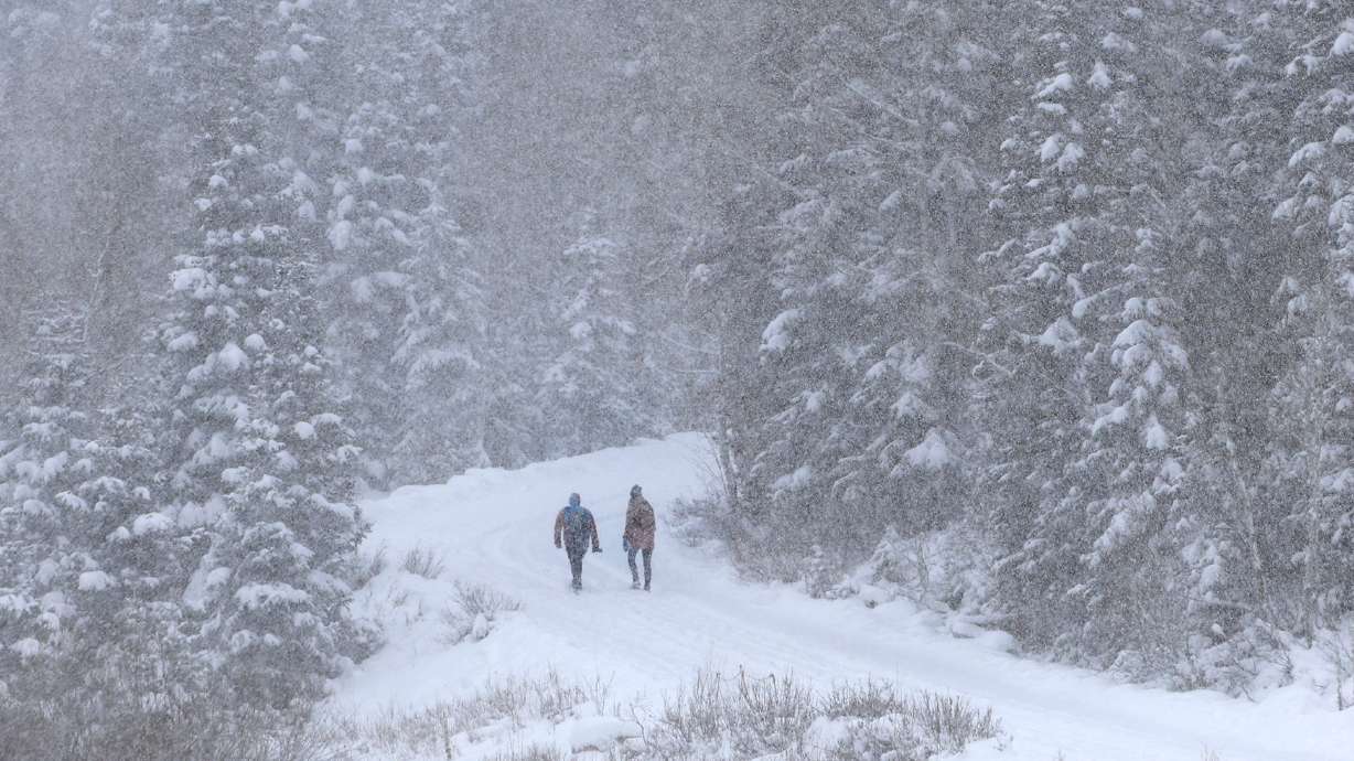
Snow expected almost all week for Utah
Nov 25, 2019, 6:33 AM | Updated: 6:33 am
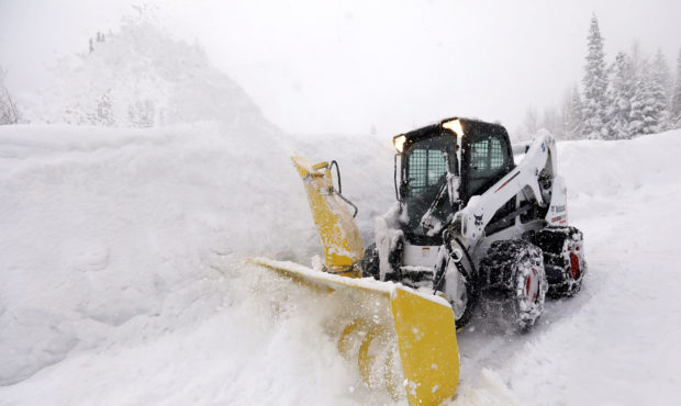
FILE-- Brad Makoff plows during a snow storm in Big Cottonwood Canyon on Friday, March 8, 2019. Kristin Murphy | Deseret News

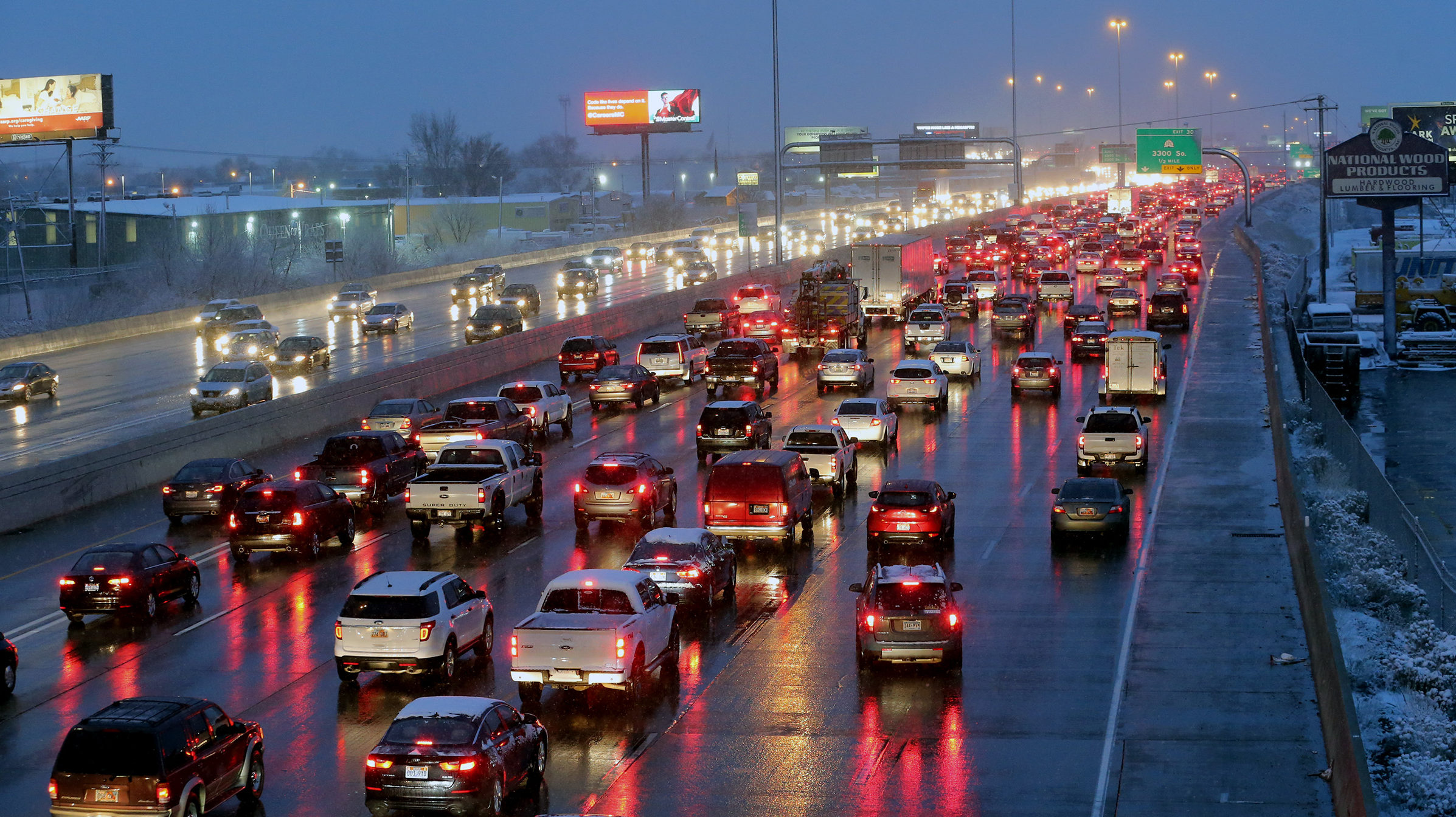
SALT LAKE CITY — A snowstorm is expected the Wasatch Front hit Monday morning.
“It is going to be a wintry ride,” said KSL Meteorologist Grant Weyman.
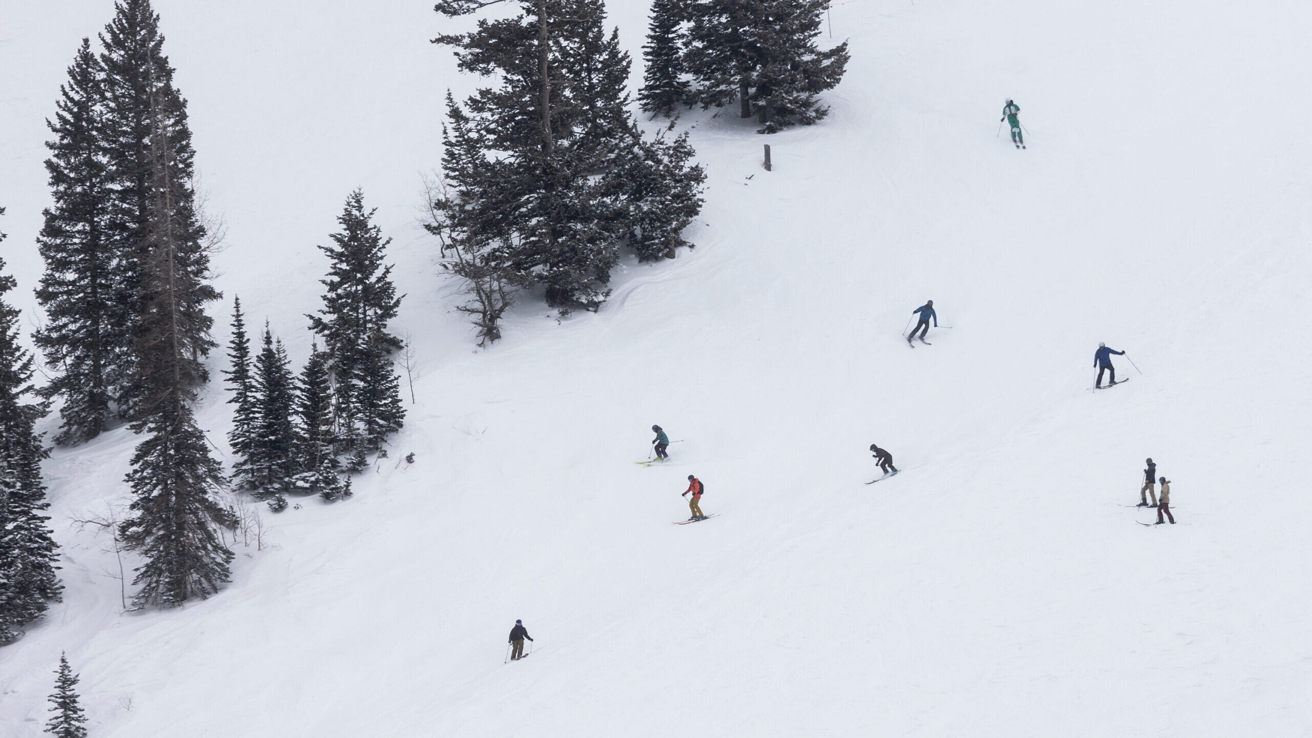
One to four inches are expected in the valleys by Monday evening. The benches should get three to six, and the mountains six to 12 inches.
SNOW coming this morning! Be prepared…. Accumulation is expected across much of the state. Here’s how much we expect. pic.twitter.com/0p6avoefZv
— Grant Weyman (@KSLweyman) November 25, 2019
The rest of the week looks cold and stormy as well. Weyman says some snow is possible Tuesday, but then there is more snow in the works for the big travel day Wednesday, then again on Thanksgiving, and the day after that.
This week in weather will be the tale of two storms. The first storm will bring winter driving conditions to the Wasatch Front Monday mid-morning to early afternoon with a period of 2-4 hours of moderate snow. #utwx pic.twitter.com/ZrTW9tXf1e
— NWS Salt Lake City (@NWSSaltLakeCity) November 24, 2019
Monday’s storm will march down from Idaho, giving Utah a two to four hour block of moderate snowfall as it moves down the I-15 corridor. There could be more snow in the central part of the state, which is a concern for people driving through that area for their Thanksgiving plans.
With all this talk of snow and storms, what are the main points to know? Those planning holiday travel, particularly on Thursday and Friday, will need to continue to monitor forecasts. #utwx pic.twitter.com/60Xt1gf6vd
— NWS Salt Lake City (@NWSSaltLakeCity) November 24, 2019
Snow is in the forecast. If you are heading out, please:
Buckle up.
Slow down.
Increase your following distance.
Give yourself extra time.
And DON’T DRIVE IMPAIRED. #HappyThanksgiving— Utah Highway Patrol (@UTHighwayPatrol) November 25, 2019