Winter storm approaches Utah
Nov 8, 2020, 2:26 PM | Updated: 5:35 pm

SALT LAKE CITY — The National Weather Service has issued a Winter Weather Advisory for the Salt Lake and Tooele valleys, as well as for the Wasatch Front. This advisory is expected to remain in place through 11 a.m. on Monday morning.
The NWS says that these portions of Utah could see snow accumulations of up to 4 inches.
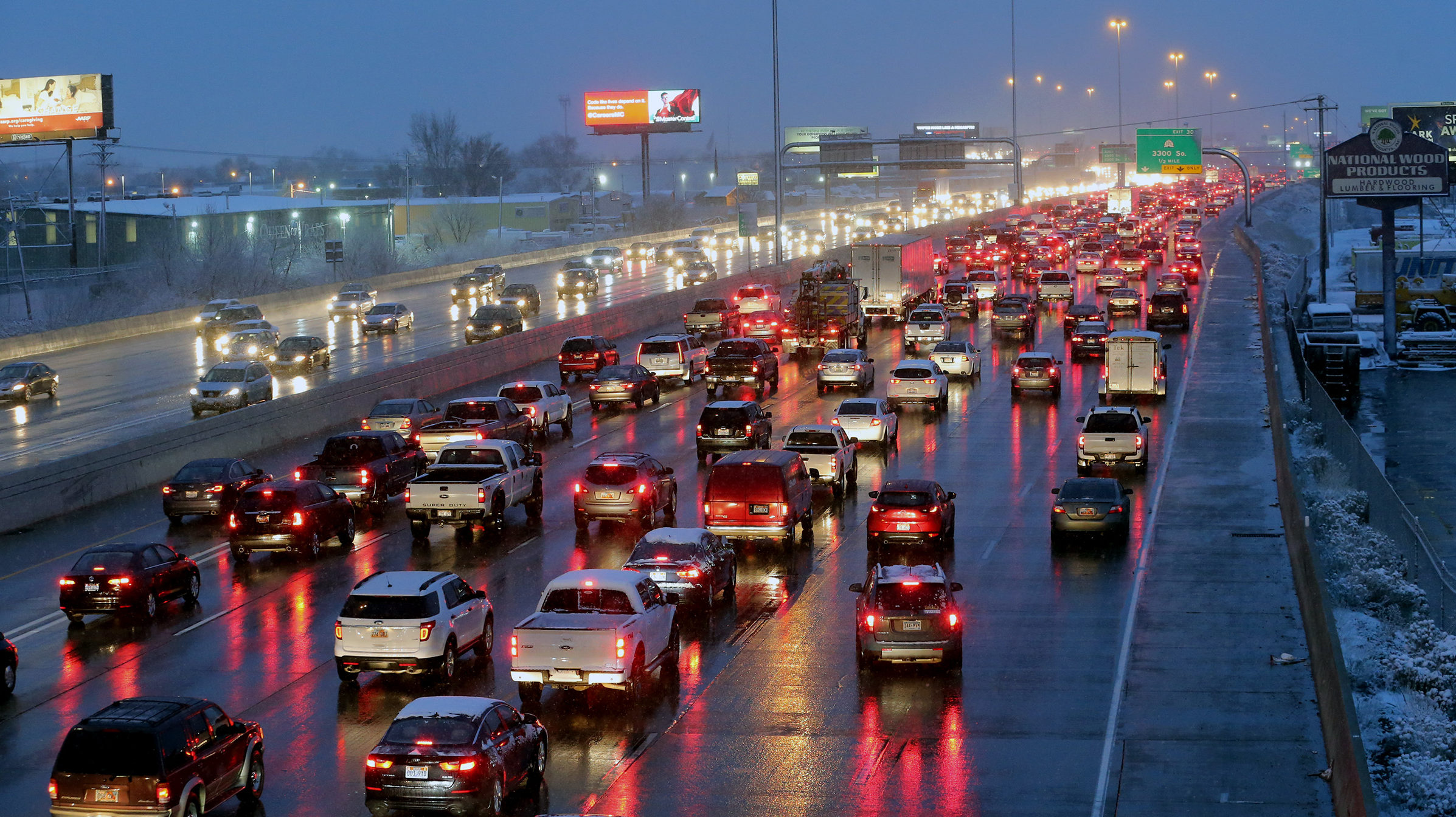
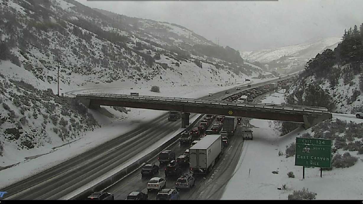
Drivers should be aware that predicted periods of heavy snow will likely lead to snow accumulations on the roads. And based on past experience, drivers can infer that highway overpasses will become slippery and possibly icy.
Snow will continue to impact the area into tomorrow. Here’s what you can expect with regard to timing, impacts, and additional accumulations. For your detailed local forecast, visit https://t.co/FmlUW3ioiE. #utwx pic.twitter.com/OflxW9V3dz
— NWS Salt Lake City (@NWSSaltLakeCity) November 8, 2020
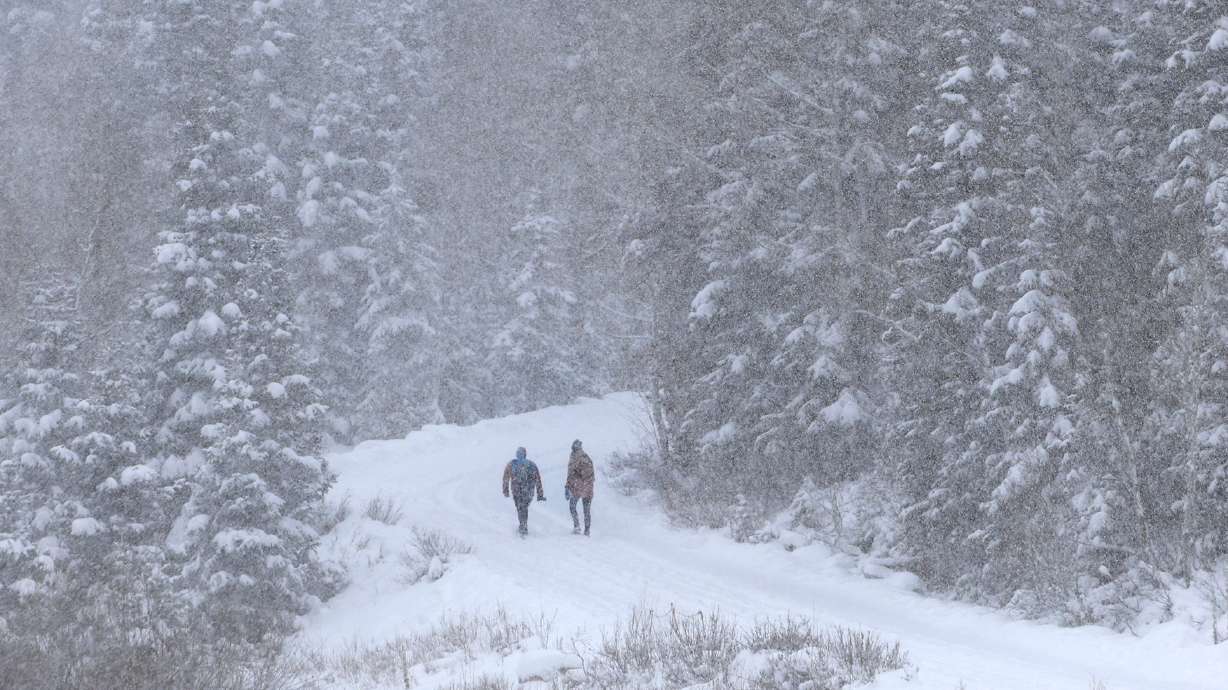
There’ve only been a few winter storms as of yet. Remember that driving on snowy or icy roads is potentially dangerous and calls for decreased speed, decreased following distance, and increased vigilance behind the wheel.
Forecasters predict that falling snow will decrease Sunday evening into the early morning hours of Monday, but will increase again south and southeast of the Great Salt Lake on Monday morning.
This winter storm will be falling just in time for the morning commute.
Weather Alert Update: Road snow continuing for Northern UT valleys this evening and again MON morning before tapering off early afternoon. Road snow expected across all higher routes MON morning. More info: https://t.co/4P1gO1U0Gg #utwind #utsnow #utwx @UtahTrucking pic.twitter.com/pzujOg8KVS
— UDOT Traffic (@UDOTTRAFFIC) November 8, 2020
Keep KSL Newsradio with you for that morning commute. Our Triple Team Traffic will keep you up to date on any accidents or road closures that may impact you.
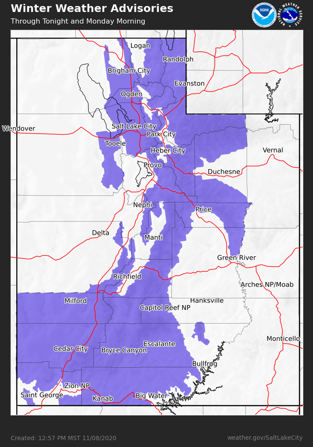
Winter weather advisories issued by the National Weather Service for Sunday through Monday morning.