More thunderstorms, flash flood worries on the way for Utah
Jun 30, 2021, 9:20 AM | Updated: 9:23 am
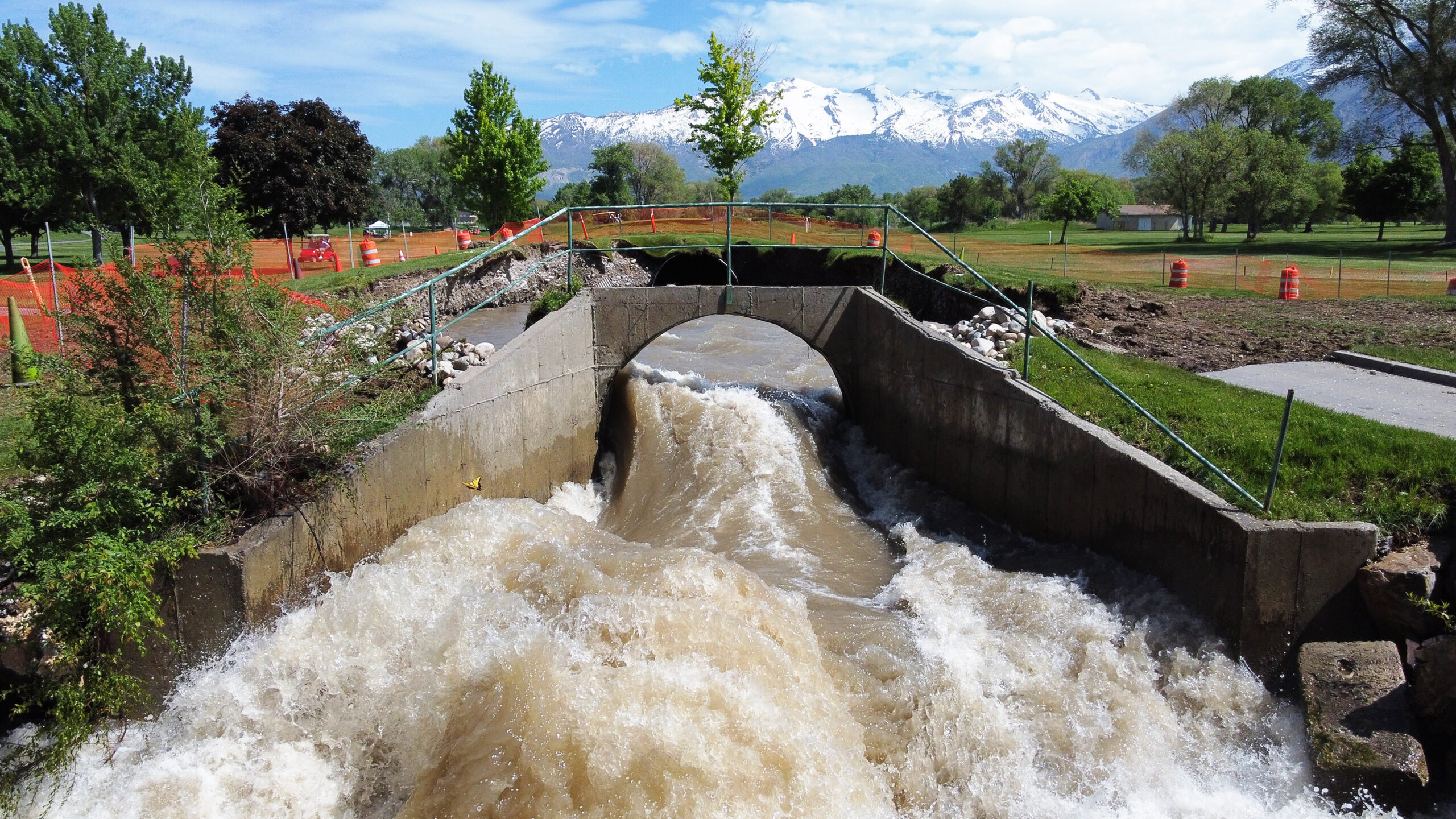
FILE: Rocks and mud left along 3600 West after Midas Creek overflowed on June 24, 2021. Forecasters say heavy storms mean the potential for more flash flooding, especially around the national parks. Photo: Paul Nelson, KSL NewsRadio

Wednesday comes with more thunderstorms and flash flood warnings for Utah.
Flash flooding closed parts of Zion National Park on Tuesday afternoon, and it created a mess when KSL TV says several homes were flooded in Southern Utah..
The National Weather Service outlined the specific areas where a fast-moving storm could cause major problems. They listed flash flooding as probable or possible around the five national parks, Glen Canyon, Grand-Staircase and San Rafael.
⚠️Flash Flood Potential is Elevated Today⚠️
Remember, slot canyons, slick rock areas and normally dry washes are the worst place to be during thunderstorms. #utwx pic.twitter.com/kE3RIjrv2C
— NWS Salt Lake City (@NWSSaltLakeCity) June 30, 2021
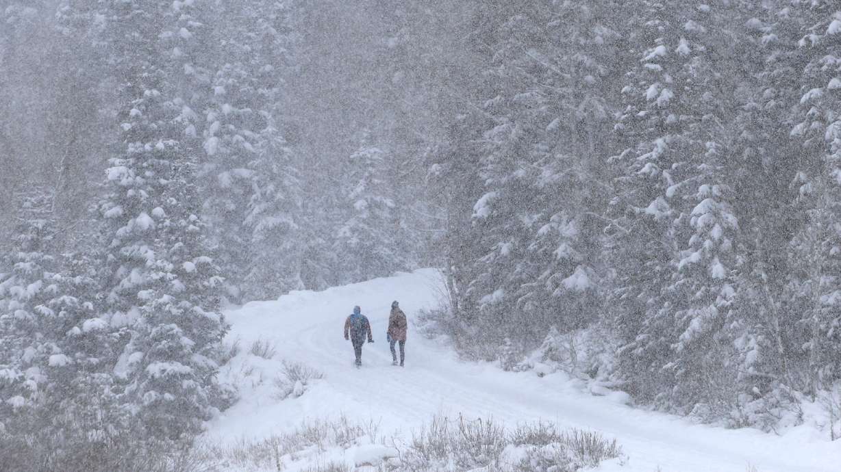
Thunderstorms impact both southern and northern Utah
KSL Meteorologist Grant Weyman says thunderstorms are also in the forecast for the Wasatch Front. He says a lot of Utah could see heavy rain, in addition to lightning and thunderstorms in northern Utah.
Heavy rain possible in some areas. pic.twitter.com/YCNMW2bY9T
— Grant Weyman (@KSLweyman) June 30, 2021
“That means the possibility of localized flooding, even here along the Wasatch Front,” he said in the live forecast on KSL.
He expects those to probably come in the early afternoon. Watch for dark clouds to form and take shelter if you need.
“I think our window for the strongest storms will be between two and six in the afternoon,” he said.