Scattered afternoon thunderstorms possible across northern Utah
Jul 5, 2021, 2:27 PM | Updated: 2:44 pm

PARK CITY, Utah — The National Weather Service (NWS) cautioned boaters and swimmers to watch for wind gusts and lightning strikes at Jordanelle Reservoir, as scattered afternoon thunderstorms move into the region.
Scattered thunderstorms expected in northern Utah
Meteorologists did not issue a thunderstorm warning, but said wind gusts of 35 miles an hour could accompany the storm. They also expected cloud to ground lightning strikes.
Click here for the latest radar conditions
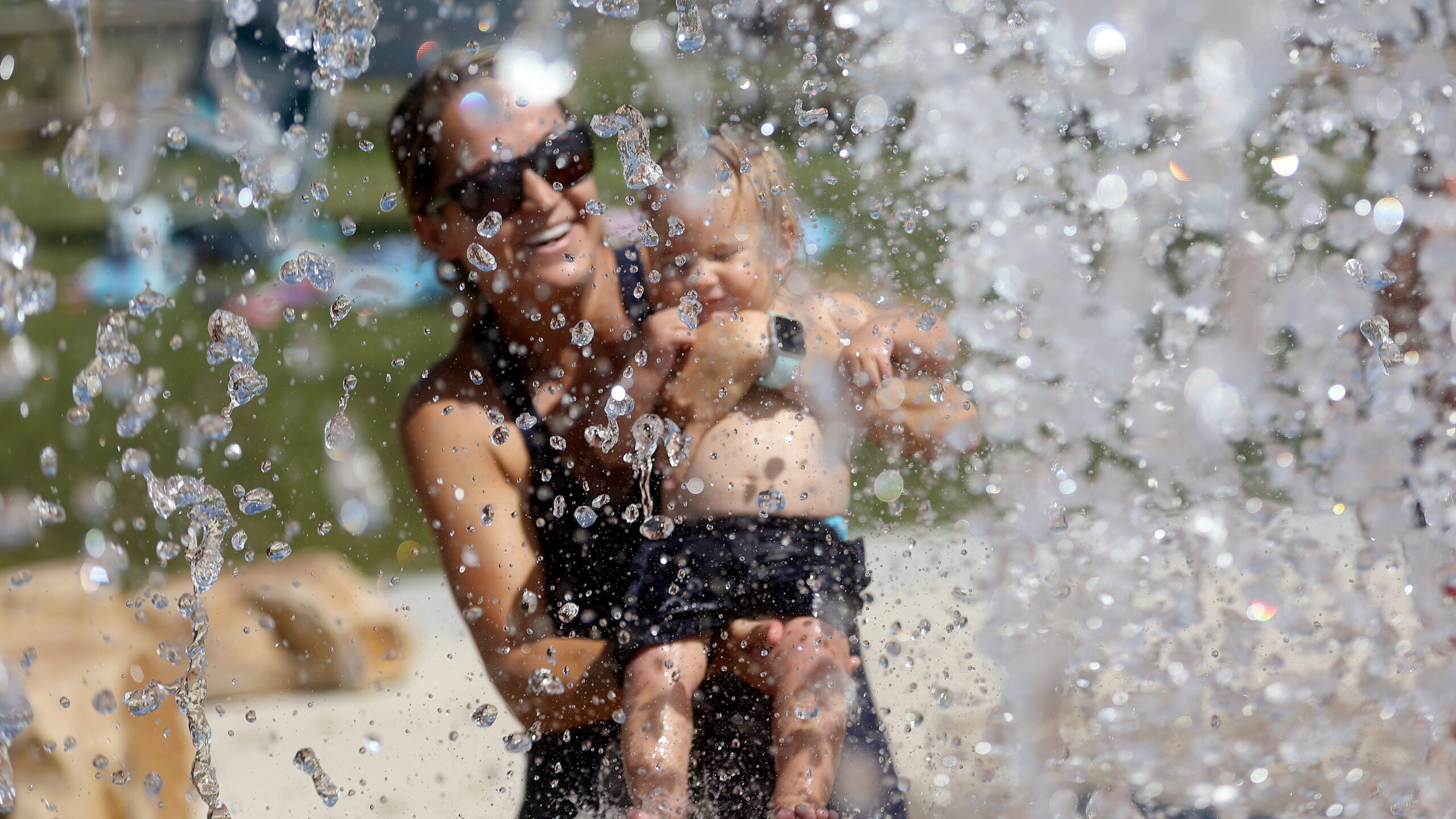
Those possible storms come hand-in-hand with muggy, hot temperatures, said KSL meteorologist Grant Weyman.
Heads up! If you’re out recreating on the Jordanelle, wind gusts to 35 mph and cloud-to-ground lightning are possible for the next 45-60 minutes with a passing thunderstorm. #utwx pic.twitter.com/mMjMiEVa9w
— NWS Salt Lake City (@NWSSaltLakeCity) July 5, 2021
“We are looking for another pretty hot week with temperatures soaring back up to near 100 again,” Weyman said. “Very very hot, even though we get a few storms today.”
Storms may impact southern Utah slot canyons
The National Weather Service also cautioned hikers recreating in southern Utah about thunderstorms with heavy rain. Specifically, the NWS’s Salt Lake City office tweeted about that possibility along Willis Creek, Bull Valley Gorge and the Cottonwood Narrows, near Cannonville.
Heads up hikers near Willis Creek, Bull Valley Gorge and Cottonwood Narrows, thunderstorms will heavy rain may approach the area. This includes Skutumpah Road and Cottonwood Road. #utwx
— NWS Salt Lake City (@NWSSaltLakeCity) July 5, 2021
Slot canyons, such as those trails, can become treacherous and even deadly after thunderstorms, as rain runs off the canyon walls and floods creeks and washes.