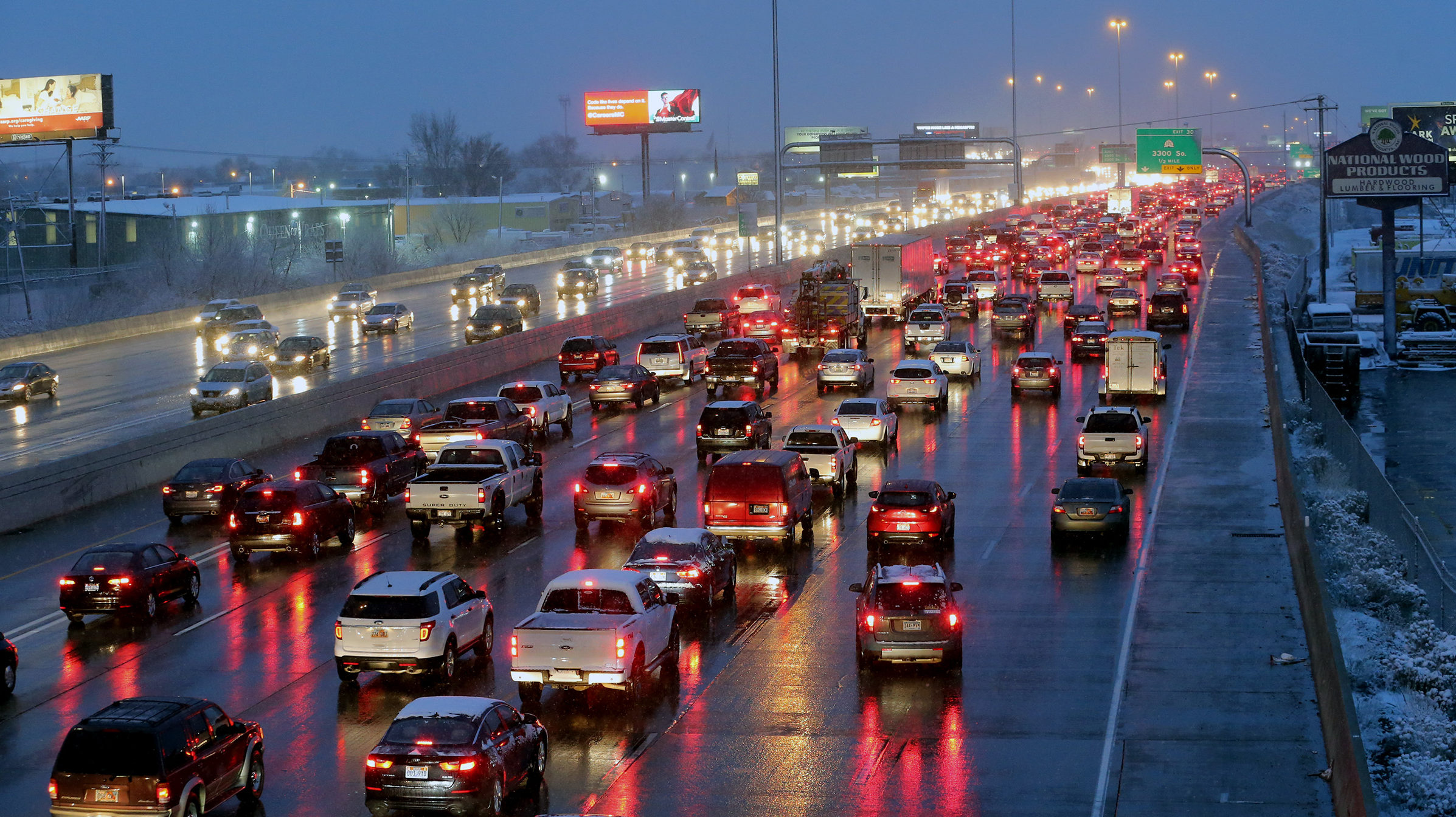
Latest Utah storm watches and warnings, updated
Aug 18, 2021, 3:17 PM | Updated: 3:30 pm
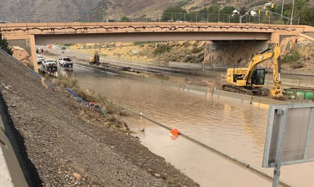
Photo: Maj. Jeff Nigbur, Utah Highway Patrol

SALT LAKE CITY — The National Weather Service expected a busy afternoon of severe storm watches and warnings as a band of thunderstorms moved into northern Utah. We’re adding them to this story as they come in.
3:28 p.m.: The National Weather Service issued a flash flood warning for the areas of Birdseye and Thistle, Utah, in Spanish Fork Canyon, through 6:30 p.m.
Flash Flood Warning including Birdseye UT, Thistle UT until 6:30 PM MDT pic.twitter.com/e7RegFaClL
— NWS Salt Lake City (@NWSSaltLakeCity) August 18, 2021
In addition, the Mapleton Police Department announced evacuations for residents because of the potential for flooding on the Ether Hollow Burn Scar.
3:25 p.m.: Forecasters with the National Weather service reported thunderstorms in the area of US 40 between the city of Heber and Strawberry Reservoir on Wednesday afternoon. As more watches, warnings and alerts are issued, we will add them here.
Original story follows:
Storm watches and warnings on the Wasatch Front
Crews closed I-215 southbound Wednesday afternoon after a swift moving storm caused flooding on the freeway near 3300 South in the Millcreek area. The National Weather Service issued a severe thunderstorm watch for the region through 6 p.m.
Utah Highway Patrol Major Jeff Nigbur tweeted a photo showing the freeway completely covered with muddy brown water.
We are experiencing some significant flooding on I-215 E at 3300 S. The freeway is currently closed, use alternate routes. pic.twitter.com/r8fRzsZZBw
— Jeff Nigbur (@MajorNigburUHP) August 18, 2021
The National Weather Service also issued a flood warning for urban streams in the Salt Lake Valley Wednesday afternoon.
An Flood Warning for urban and small stream flooding remains in effect for the Slat Lake Valley and areas south through 4:30. Turn around, don’t drown! #utwx https://t.co/ndqaHISd4C
— NWS Salt Lake City (@NWSSaltLakeCity) August 18, 2021
Crews closed 3300 South at 700 East in South Salt Lake because of flooding in the roadway.
⛈🚧ROAD CLOSURE 3300 South🚧⛈
Due to flooding – avoid 3300 South and 700 East.— South Salt Lake City (@southsaltlake) August 18, 2021
More severe weather to the south
Further to the south, forecasters issued a flash flood warning for the area around Capitol Reef National Park.
Flash Flood Warning continues for Garfield County, UT, Wayne County, UT until 6:00 PM MDT pic.twitter.com/kQYl8tL2PM
— NWS Salt Lake City (@NWSSaltLakeCity) August 18, 2021
In Kane County, forecasters warned of severe thunderstorms around Lake Powell.
Hail is the main threat with this storm moving up the north side of Lake Powell, headed towards the lower section of Hole in the Rock Road. #utwx https://t.co/UdPItltFLz
— NWS Salt Lake City (@NWSSaltLakeCity) August 18, 2021
This story will be updated. As new storm watches and warnings come in, we will add them to the top of the story.