Wind, rain and snow will cause problems for Utahns
Oct 25, 2021, 8:22 AM | Updated: 8:31 am

SALT LAKE CITY — A big storm is heading our way. It’s already dumped 7-10 inches of rain in parts of California, and all the rain and wind is moving to Utah.
The wind is howling ahead of the storm system. Wind gusts are expected up to 50 mph along the Wasatch Front, and some have already been clocked closer to 70 mph to the western part of the state.
⚠️ [5:50am] Heads up #I80 travelers! A gust to 68 mph was just observed near the Great Salt Lake Marina. Stronger crosswinds like this will become more common this morning west of Salt Lake City to around Delle. #utwx
— NWS Salt Lake City (@NWSSaltLakeCity) October 25, 2021
The wind could cause power outages. For example early this morning high winds toppled a power line on 7200 West just north of 2100 South.
The wind is expected to last throughout the day before the rain and snow fall.
Numbers show possible wind gust speeds this afternoon pic.twitter.com/xFKorxpkUF
— Grant Weyman (@KSLweyman) October 25, 2021
MORE: Great Salt Lake dust could be toxic, bad for snow season
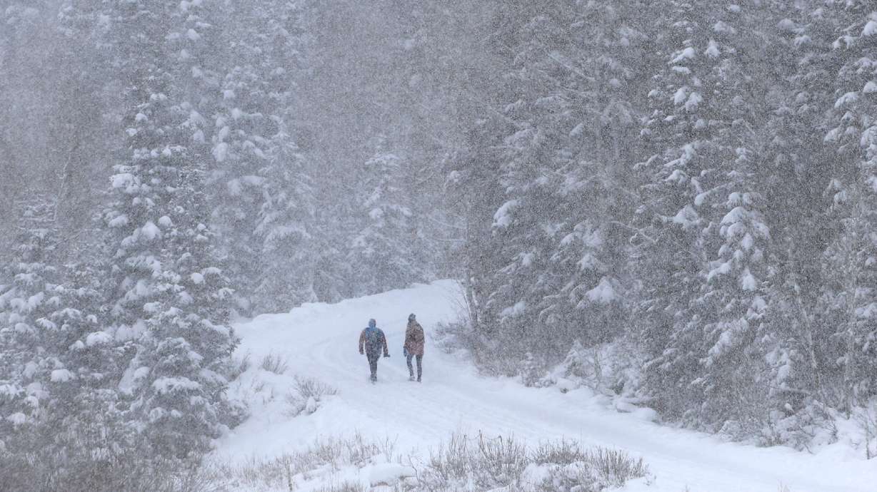
Rain and snow
The rain will fall as snow in the higher elevations. The National Weather Service said to expect as much as 18-inches in the Cottonwood Canyons.
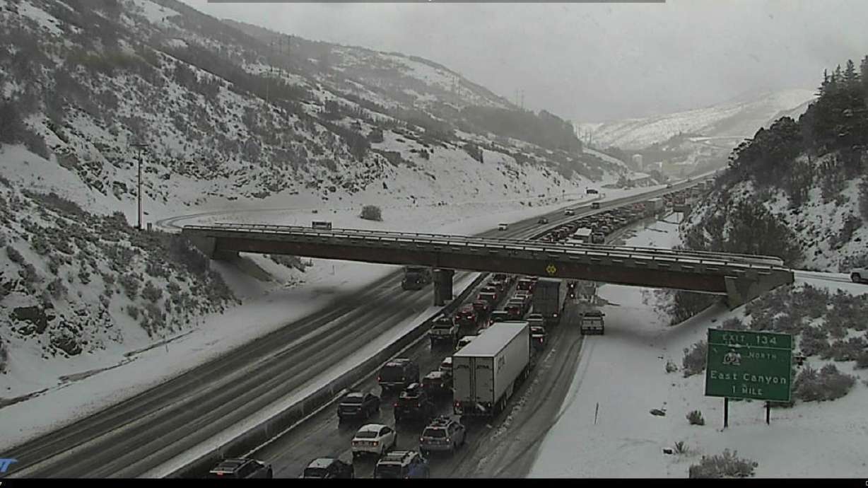
That has the potential to close the canyons for safety reasons. At the very least, travelers heading into Big or Little Cottonwood Canyon should expect to need chains or 4WD.
We’ve been talking about the wind and rain with the approaching storm, but the system will also bring significant snow for the mountains of Utah. This will result in difficult travel for high elevation routes this evening through Tuesday. Here’s what you can expect. #utwx pic.twitter.com/tzm5rjSO4n
— NWS Salt Lake City (@NWSSaltLakeCity) October 25, 2021
But the snow won’t stick to just the mountains. Jon Wilson, a National Weather Service meteorologist, tells KSL Newsradio, we could see an inch or more in some of the higher valleys as snow levels are expected to drop to 5500 feet Tuesday morning.
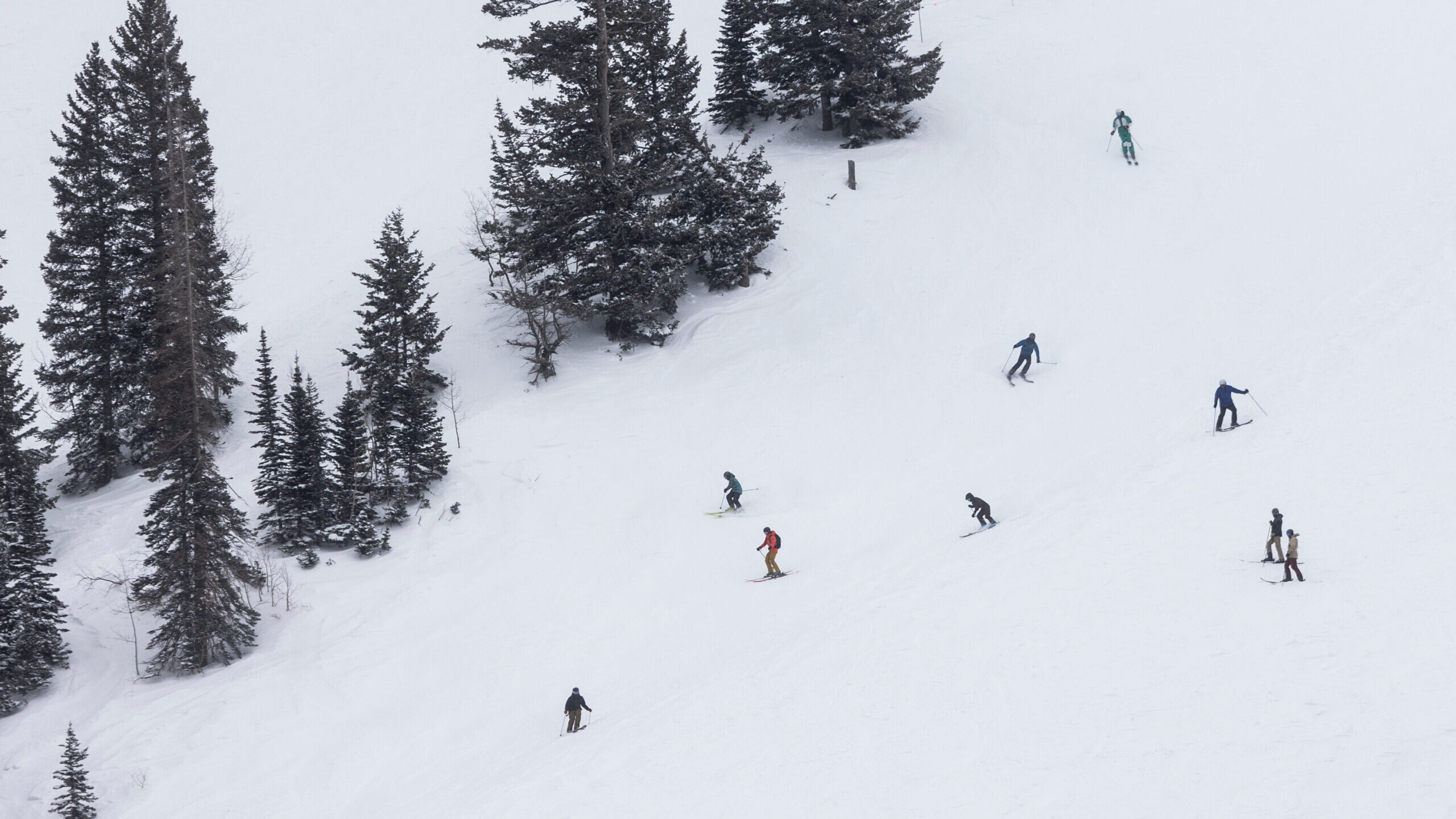
And the snow will be widespread. The mountains of Central Utah are expected to get significant snowfall with up to a foot in Brian Head and the Western Uinta Mountain range.
Make sure you are prepared with appropriate equipment, food and clothing if you plan to drive Monday evening through Tuesday morning.