Additional snow coming to northern Utah
Mar 8, 2022, 8:25 PM | Updated: 9:29 pm
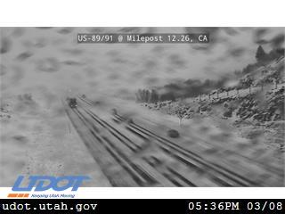
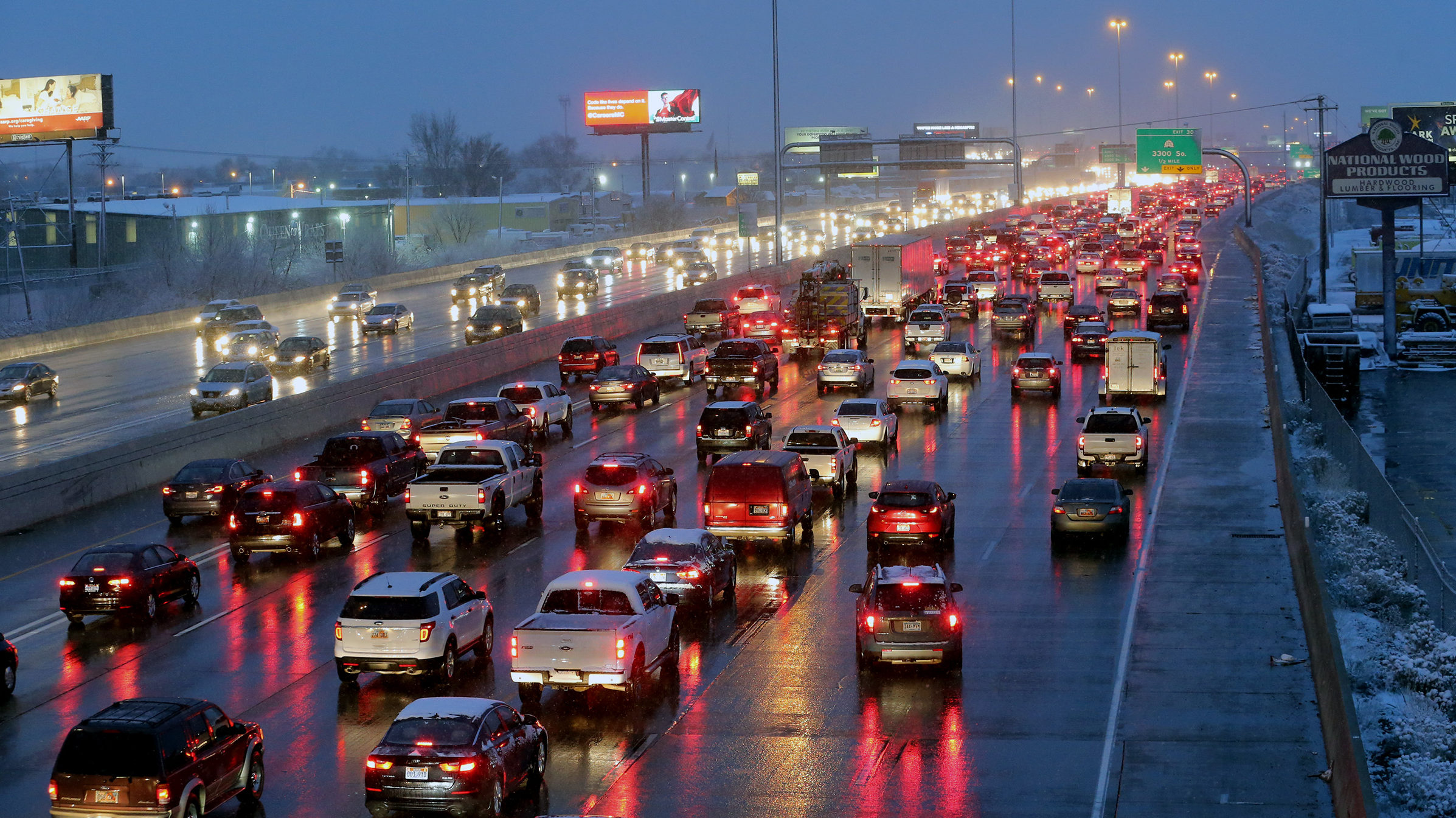
More snow coming to northern Utah Tuesday evening made for difficult driving conditions in certain parts. Photo credit: UDOT

SALT LAKE CITY — Another round of snow is expected to fall in northern Utah starting Tuesday evening and into Wednesday.
According to the National Weather Service out of Salt Lake City, many locations in northern Utah could receive between 2 and 5 inches of snow.
WHAT❄️🌨️: Here’s our latest thinking on general snowfall amounts across Northern Utah through Thursday morning. In addition, visit our winter page to get information on more specific locations as well as what the higher/lower end totals could be: https://t.co/3CqW3WB518 #utwx pic.twitter.com/pDaHITuhbc
— NWS Salt Lake City (@NWSSaltLakeCity) March 8, 2022
Snow to northern Utah is different than last weekend’s storm
KSL Meteorologist Kevin Eubank says this storm won’t produce as much damage as the storm that passed through northern Utah last weekend.
“This is a totally different type of snowfall,” he said. “The last storm was a heavy, wet, sticky snow that clung right to branches, instantly. This is a significantly colder storm so that snow is not going to stick to the trees, so the tree limb damage won’t be nearly what it is out of this storm, compared to what we had over the weekend.”
According to the KSL weather forecast, Salt Lake City will see a high of just 39 on Wednesday with a 70 percent chance of snow. Salt Lake City will see a slight decline in the temperature on Thursday with a high of just 30. However, temperatures should rise back into the 40s and 50s by the weekend.
In St. George, the temperature will rise into the low 60s on Wednesday before taking a dip into the 40s on Thursday. However, temperatures return to the mid 60s by the weekend.
Eubank says the storm will head south in the early hours of Wednesday. However, snow will still continue to fall in the north.
Read more: