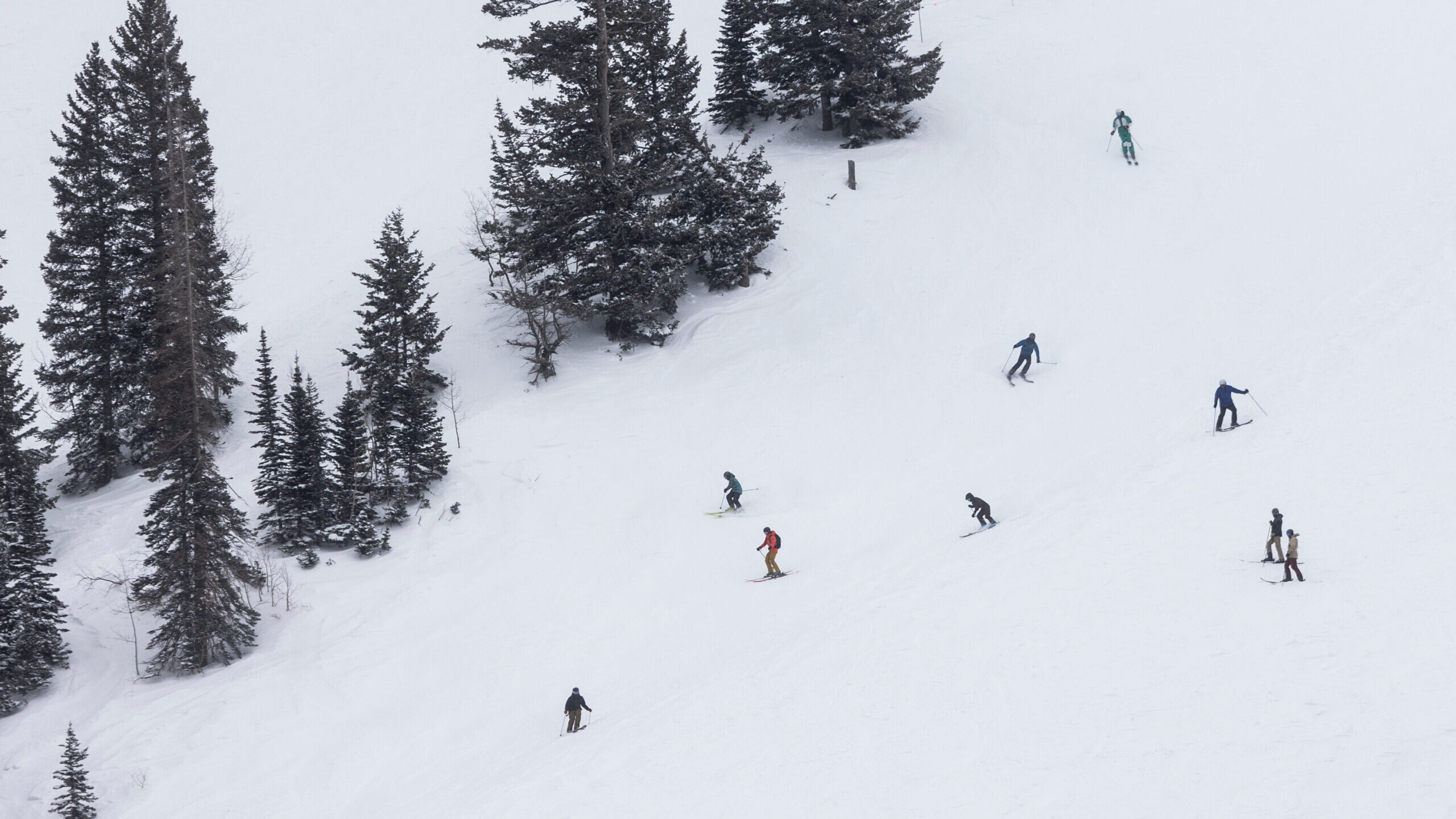
Light snow across Wasatch Front could still make for slick Friday commute
Jan 19, 2023, 9:30 PM
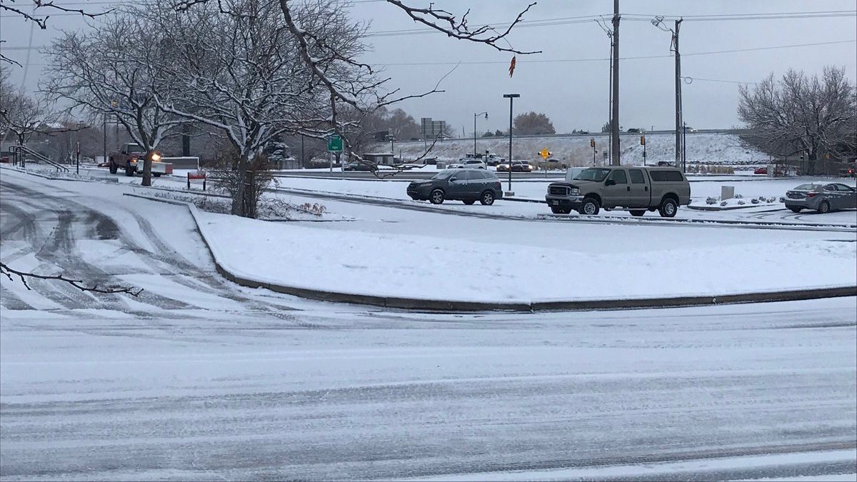
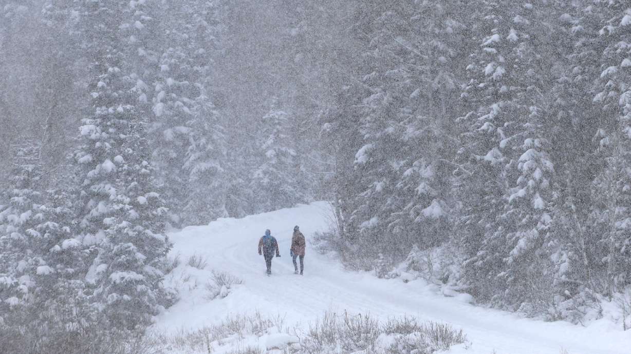
While northern Utah is expected to only receive a half inch of snow or less from the next winter strom, the National Weather Service says because of the cold temperatures any snow that falls will stick to the roads. Peter Samore, KSL Newsradio)
SALT LAKE CITY — The Wasatch Front is expected to receive light snow from a winter storm that is expected to reach Utah during the overnight hours into Friday, according to the National Weather Service. However, Friday morning’s commute in northern Utah could still be a slick one.
Monica Traphagan, a meteorologist with the NWS, says most of the storm will go south.
She says the mountains in the central and southern part of the state could receive 4 to 8 inches of snow in most areas. Additionally, she says areas such as Brian Head and Pine Valley could get even more than that.
Traphagan also says the valleys in the southern and central parts of the state could get anywhere between 2 and 4 inches of snow.
Light snow expected along the Wasatch Front
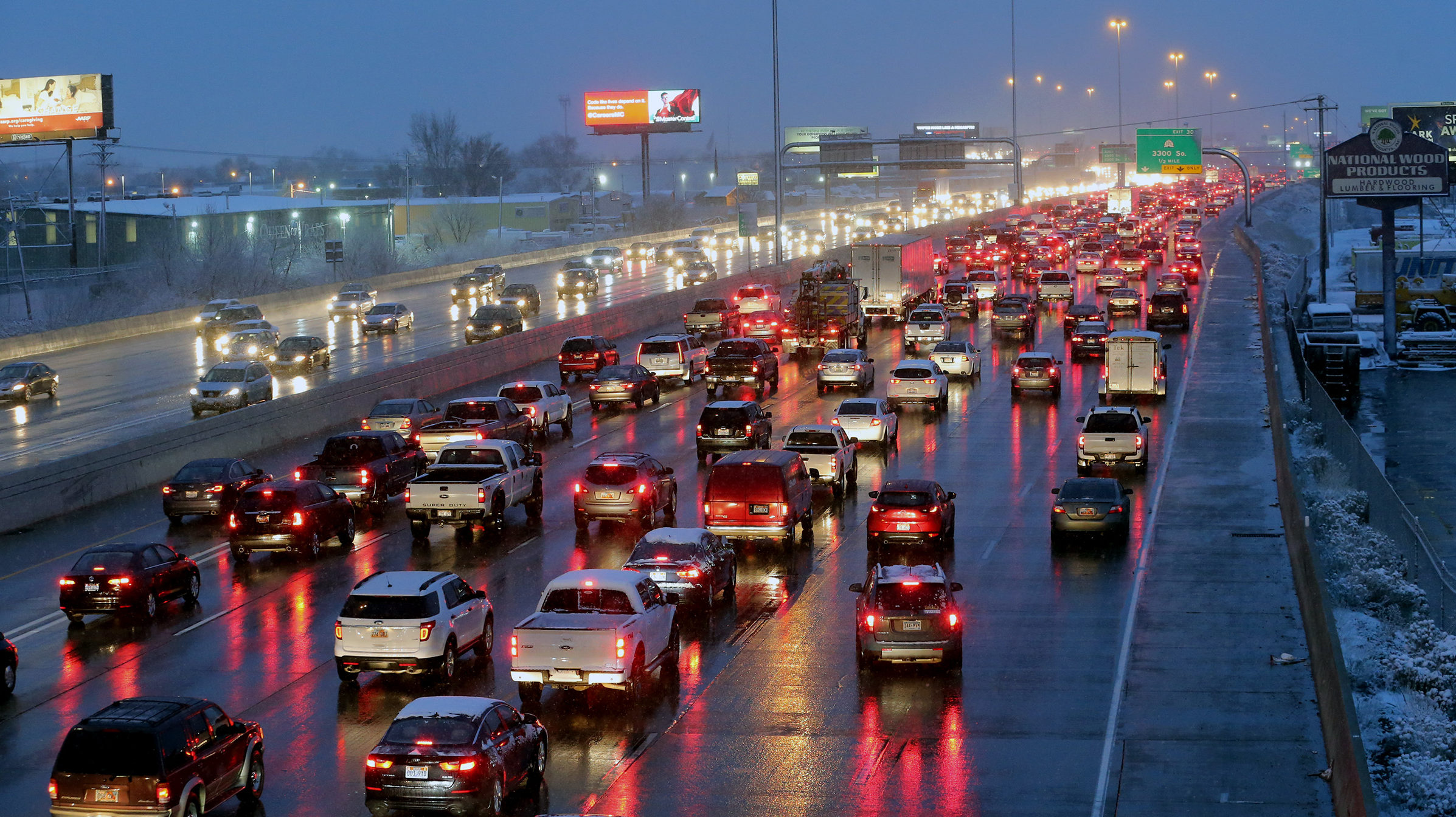
In northern Utah, less than a half inch of snow is expected. However, Traphagan says that could still be a problem for the Friday morning commute.
“Right now, we are at 32 degrees,” she said. “We’re only going to get colder. We’re going to be in the 20s. So, what that means is that any snow that falls is going to stick to the roads. So even though there’s not that much. Maybe the lightest coating of snow, it could still make travel slick in spots.”
Mark Jones contributed to this article.
Read more:
