
Weather change coming with wind, rain, lower temperatures expected across Utah
Mar 28, 2022, 7:45 AM | Updated: 8:34 am
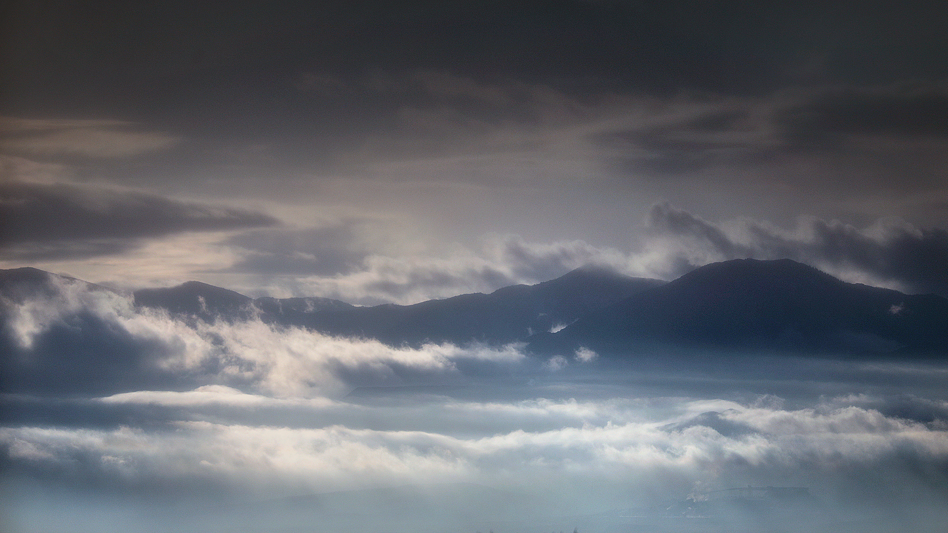
Clouds move over the Oquirrh Mountains on Monday, Nov. 23, 2020. Kristin Murphy, Deseret News
SALT LAKE CITY — A change in the weather comes in the form of a spring storm that is expected to roll into northern Utah on Monday afternoon, with a 60% chance for showers Monday night. That chance for showers increases to 80% by Tuesday.
By Monday morning the wind had already picked up across the state, and the National Weather Service had issued a wind advisory for portions of western Utah beginning at 10 a.m. on Monday.
💨 Wind Advisories in effect for portions of western Utah
⏰10 AM through 8 PM Today
⚠️Wind gusts 45 mph + may cause strong crosswinds on east-west routes. #utwx pic.twitter.com/U7JlDusQc3
— NWS Salt Lake City (@NWSSaltLakeCity) March 28, 2022
And a big drop in the temperature is expected, too. Monday’s predicted high of 70 degrees drops to the low 50s by Tuesday and stays in that range throughout the coming week.
The National Weather Service has issued winter weather advisories for the Uinta and southern Utah mountains, which begin Monday night and extend through Wednesday morning.
❄ Winter Weather Advisories in effect for the western Uinta Mountains and southern Utah mountains
⏰ This evening through Wednesday morning
⚠️5-10″ of snow can be expected, locally higher. Winter driving conditions are possible on mountain routes in the area #utwx pic.twitter.com/yGio5eGDoS
— NWS Salt Lake City (@NWSSaltLakeCity) March 28, 2022
The storm will drop much-needed precipitation across Utah, 96% of which remains in severe drought.


