
Wind advisory issued for areas across Utah
Apr 21, 2022, 11:48 AM | Updated: 12:16 pm
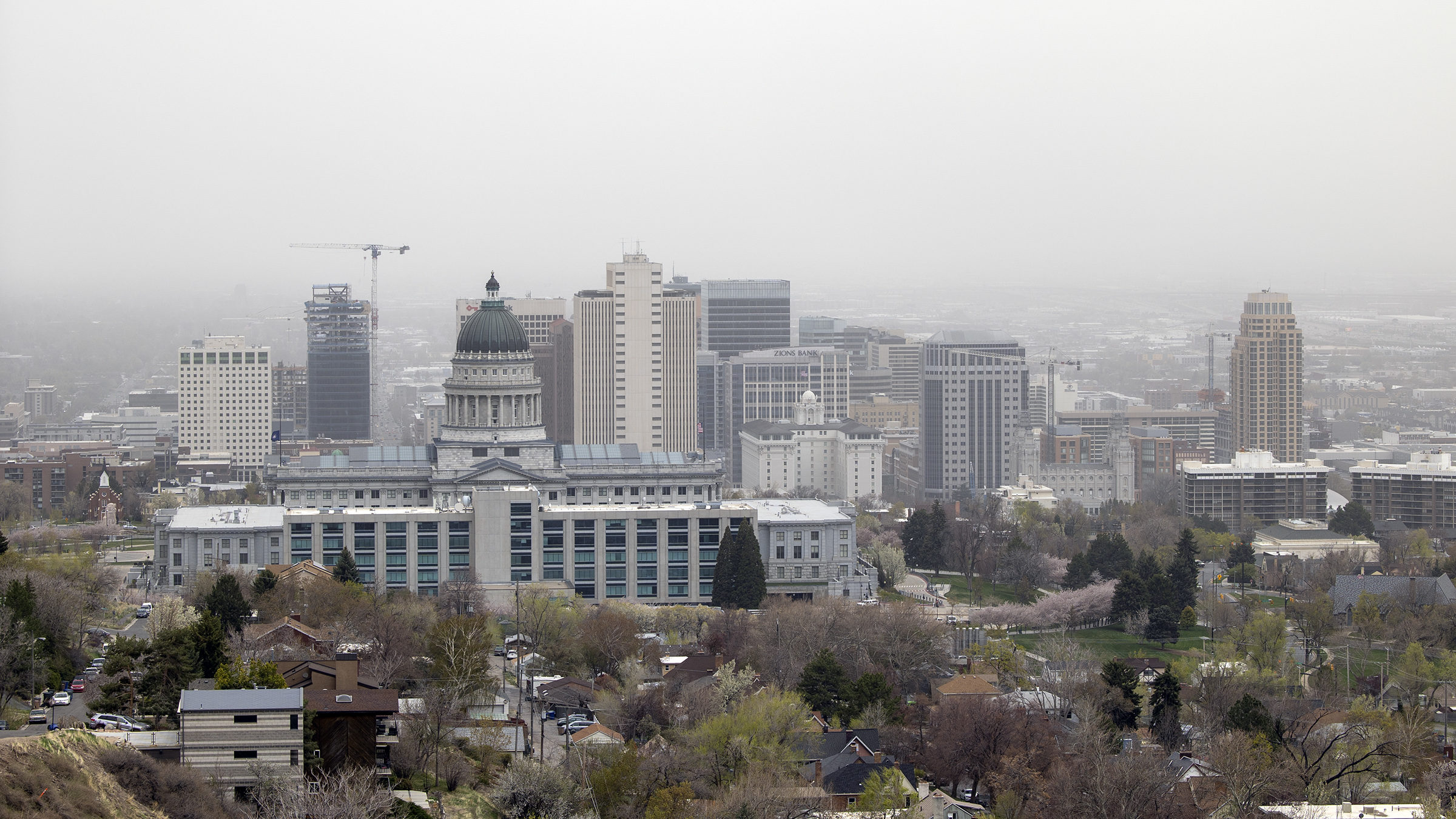
High winds kick up dust along the Wasatch Front last April. Photo credit: Scott G Winterton, Deseret News.
SALT LAKE CITY — The National Weather Service issued a wind advisory for Salt Lake Valley, Tooele Valley, and other areas around the state. Most affected areas will be south of Salt Lake City, heading toward the Canyonlands. The wind advisory is in place until 10 p.m. on April 21.
KSL Meteorologist Matt Johnson said temperatures will remain high, however, dust from the west desert and other dry areas of the state may cause haze. But this should not impact visibility while driving.
Johnson said he wouldn’t be surprised if we got down to three or five miles of visibility during the day. He added that he hoped the rain from upcoming storms would help calm down the dust we may see from the winds.
The NWS reported winds of 29 mph and visibility at eight miles. Furthermore, residents may see gusts as high as 33 mph throughout the day. This should calm down into the evening, decreasing to 10 to 15 mph after midnight.
The NWS also advised residents to secure outdoor objects and use extra caution when driving.
Here’s a look at a model’s representation of blowing dust concentration for today into Friday. Western Utah dust expected to spread into northern UT / SW WY. Dust from Arizona expected into southern and eastern Utah later today. #utwx #wywx pic.twitter.com/0oGrveQkFY
— NWS Salt Lake City (@NWSSaltLakeCity) April 21, 2022
Related Stories:
-
Americans more likely to see climate crisis as a threat after facing extreme weather
-
3-year-old girl dies after bad weather crash on I-15 in Ogden
-
Weather change coming with wind, rain, lower temperatures expected across Utah


