
Threat of severe weather moves into Utah, watch issued through 8 p.m.
Sep 21, 2022, 2:52 PM | Updated: 3:08 pm
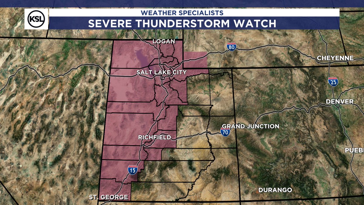
Much of western Utah was under a severe thunderstorm watch on Wednesday afternoon. (Image courtesy of Matt Johnson, KSL meteorologist)
(Image courtesy of Matt Johnson, KSL meteorologist)
SALT LAKE CITY — The National Weather Service has issued a severe thunderstorm watch for portions of Utah and Wyoming, and says the threat will be in effect until 8 p.m. on Wednesday night.
On Wednesday afternoon, KSL NewsRadio got this video of the storm moving through Lehi from Maili Marsden:
The possibilities for western Utahns from St. George to Logan include:
- isolated hail, up to the size of a quarter,
- scattered wind gusts with the potential of blowing up to 75 mph,
- and the possibility of frequent lightning.
KSL meteorologist Matt Johnson said thunderstorms were expected by Wednesday afternoon across northern Utah. Via tweet, he warned of the possibility of damaging microburst winds.
SEVERE THUNDERSTORM WATCH:
Here we go! This is in place now – 8PM this evening. The potential for damaging microburst winds and hail over 1″ in stronger storms. #utwx pic.twitter.com/hj8DEZBMrG
— Matthew Johnson (@KSL_Matt) September 21, 2022
A severe thunderstorm watch has been issued for parts of Utah and Wyoming until 8 PM MDT pic.twitter.com/oMVw6GjMJr
— NWS Salt Lake City (@NWSSaltLakeCity) September 21, 2022
The National Weather Service also noted an increased risk of flash flooding for southern Utah National Parks. They advise visitors to have a plan in case water becomes dangerous.
There is an increased risk of flash flooding for southern Utah National Parks and recreation areas. Make sure to check in with local visitor centers or ranger stations before heading out and have a plan if threatening weather approaches. More at: https://t.co/7kgSJIR7mF #utwx pic.twitter.com/DaxFMbtYyh
— NWS Salt Lake City (@NWSSaltLakeCity) September 21, 2022


