Winter storm over the weekend, commutes could be impacted
Dec 1, 2023, 11:00 AM | Updated: 11:11 am
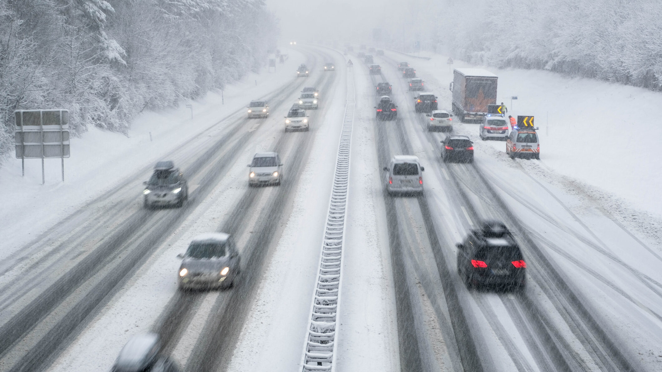
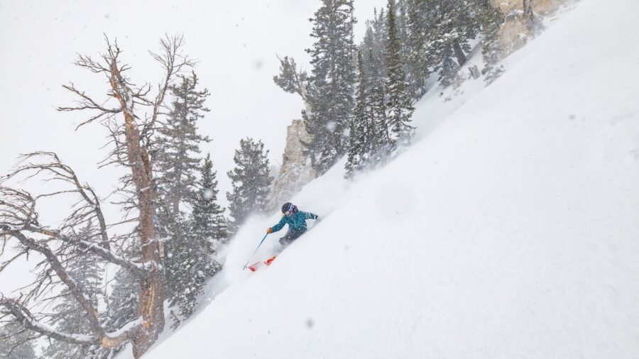
A winter storm has hit Utah and may cause slick driving conditions. (Getty Images)
(Getty Images)

SALT LAKE CITY — A winter storm has landed in Utah. Monica Traphagan from the National Weather Service told KSL NewsRadio what to expect.
“The remainder of the morning through about midday, that snow is going to increase in coverage, becoming widespread midday into the early afternoon,” said Traphagan.
According to Traphagan, the storm should hit a wall in early evening but we will quickly see another wave of snow tonight and tomorrow morning.
“Things will continue Saturday and Sunday as well. But what we’re going to see, as we get to Saturday night into Sunday, the storm is going to get warmer. And so we’re going to see a transition from snow to rain in the valleys. And so that’ll be the the limiting factor for valley accumulations should still be significant,” Traphagan said noting the mountains should get 20 to 30 inches.
Snow accumulation
Traphagan said the valleys are starting to see a little snow and that it will become more wide spread as the evening progresses.
“Snow accumulations for the valleys are going to ultimately depend on how far north you are because as we get to Saturday night into Sunday, we’re going to see that that transition from snow to rain. It’s going to start with our more southern valleys for example, the Utah Valley eventually through the Cache Valley,” she said.
“So, Salt Lake Valley, Utah Valley it would be more like 1-3 inches on the valley floors. [Expect] 3-5 inches on the benches. For the northern Wasatch Front and Cache Valleys, more like 3-7 inches and 8-16 inches for for the Wasatch Back.”
Be aware of road conditions
As temperatures continue to go down, wet roads will get icy.
“We’ve got temperatures that are already below freezing. So the roads are going to be below freezing as well. So any snow that falls is going to quickly stick to the roadways. The roads are going to become slick and travel will be difficult so be aware,” said Traphagan.