Winter storm warnings issued as ‘active’ rain, snow pattern returns to Utah
Mar 13, 2025, 9:23 AM

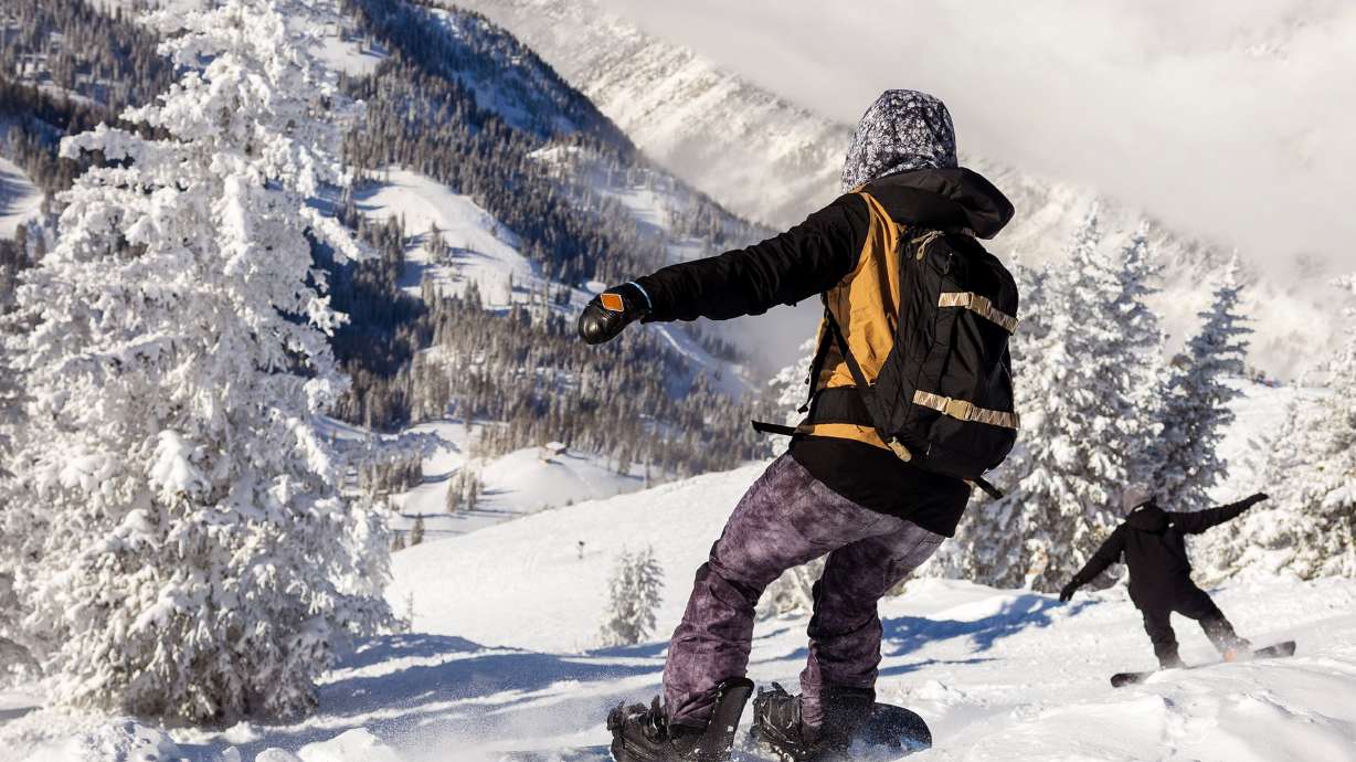
Fresh snow at Solitude Mountain Resort on March 6, 2025. (Tess Cowley, Deseret News)
(Tess Cowley, Deseret News)
SALT LAKE CITY — Utah’s spring preview is about to end. The National Weather Service’s Salt Lake City and Grand Junction offices issued a series of winter storm warnings and winter weather advisories for Utah mountain areas, many of which could receive a foot of snow or more on Thursday. “Locally higher” amounts of 2 to 3 feet of snow are also possible in some areas.
Related: Will Utah’s snowpack be enough for a healthy spring runoff?
While the storm will start with valley rain, some of the alerts call for 1 to 4 inches of valley snow. KSL meteorologist Matt Johnson says another one or two storms “of varying strength” and location are on the horizon as part of another active pattern.
Storm timing
The latest storm is coming off the Pacific Coast and is forecast to impact most of the West as it moves east.
A few showers are possible in southwest Utah’s mountains through late Wednesday, but gusty conditions are the bigger concern Wednesday before the next cold front. Gusts of up to 45-50 mph are possible across most of western Utah through Thursday afternoon, according to the weather service, which issued a wind advisory for the area.
Johnson said the brunt of the storm is forecast to pick up early Thursday. Showers will increase in intensity across southwestern Utah and in other mountain areas before expanding to other parts of the state later in the morning. Early in the storm, most of the snow will be in areas above 6,500-7,500 feet as precipitation persists into Thursday afternoon, but valley rain will turn to snow as the cold front arrives Thursday evening.
“We’re going to see some snow showers linger into early Friday morning,” he said, adding that additional showers are possible for areas south and east of the Great Salt Lake closer to the Friday morning commute.
Drier conditions are forecast for the rest of Friday before additional moisture arrives.
Storm accumulations
The National Weather Service’s warnings and advisories go into effect Thursday morning and last between Friday morning and Friday evening. Those alerts state:
- 10 to 18 inches of snow is possible in the Wasatch Mountains south of I-80. The upper Cottonwood canyons and could receive up to 2-3 feet of snow.
- 8 to 16 inches of snow is possible in the Wasatch Mountains north of I-80, as well as Western Uinta, central and southern mountains. Areas closer to Brian Head could also receive closer to 2-3 feet.
- 6 to 12 inches of snow is possible in the Eastern Uinta, La Sal and Abajo mountains in eastern Utah.
- 1 to 4 inches of snow is possible across the Wasatch Back and central Utah communities. Park City could end up with totals closer to 5-7 inches. Higher totals are also expected in bench areas.
- 1 to 4 inches of snow is also possible along the northern Wasatch Front and Salt Lake Valley, largely because of lake-effect snow potential.
Strong wind gusts could create “hazardous” driving conditions across mountain passes, the weather service notes. Utah Department of Transportation officials say drivers should use “high caution” while traveling through not just mountain passes, but sections of I-15 in south-central Utah. The agency adds that there could be periods of tricky travel along the Wasatch Front on Friday morning.
Road Weather Alert: Cold Front moves through the state late Thur afternoon & into Thur night. Widespread lt valley road snow/slush & hvy mtn road snow Thur PM. Lake effect snow for Davis/SL County Fri AM. For more info, visit: https://t.co/QrWh3RKePZ #utwx #utsnow @UtahTrucking pic.twitter.com/QlX4gzK10v
— UDOT Traffic (@UDOTTRAFFIC) March 12, 2025
Johnson said other parts of the Wasatch Front could also receive a trace to 3 inches of snow.
KSL Weather models indicate that most valleys will receive 0.20-0.50 inches of precipitation by late Friday morning, most of which will fall as rain. Higher totals are possible in parts of central, eastern and southern Utah, which helps the driest parts of the state.
St. George is coming off its sixth-driest meteorological winter since 1892. It received just 0.62 inches of precipitation during the season, all of which came from one storm in February that helped prevent it from breaking the dubious record.
More to come
The incoming storm comes as Utah’s statewide snowpack collection remains at 92% of the median average for this point in the season. Its running total is about 4 inches below the median season average with 22 days left before the median peak in early April.
More snow is on the way.
Johnson says a lesser-organized “follow-up wave” should arrive on Saturday, bringing more moisture to central and northern Utah — and possibly the southern Utah mountains — beginning late Friday or early Saturday. Most of it will be a mix of valley rain and mountain snow, but there is a possibility for more valley snow with the storm.
Our incoming storm cycle could really favor the Cottonwood Canyons. The latest GFS hi-res model is advertising 50″ of new snow over the next 7 days at Alta. #utwx ❄️📈 pic.twitter.com/mTbn7c0g84
— Matthew Johnson (@KSL_Matt) March 12, 2025
Another storm is forecast to arrive early next week, again providing a mix of rain and snow to all of the state’s regions. One University of Utah model indicates places like Alta could end up with over 4 feet of new snow over the next week.
Beyond that, Utah could benefit from a pair of additional storms beginning to show up in long-range outlooks. It’s still too early to know if those will reach Utah or how much moisture they could provide, but it offers hope as Utah’s snowpack collection season comes to an end.
“What it tells us is the pattern could stay active into (late) March,” Johnson said.
Full seven-day forecasts for areas across Utah can be found online, at the KSL Weather Center.