This app helps locate legal dispersed camping spots
Jul 29, 2025, 7:00 PM

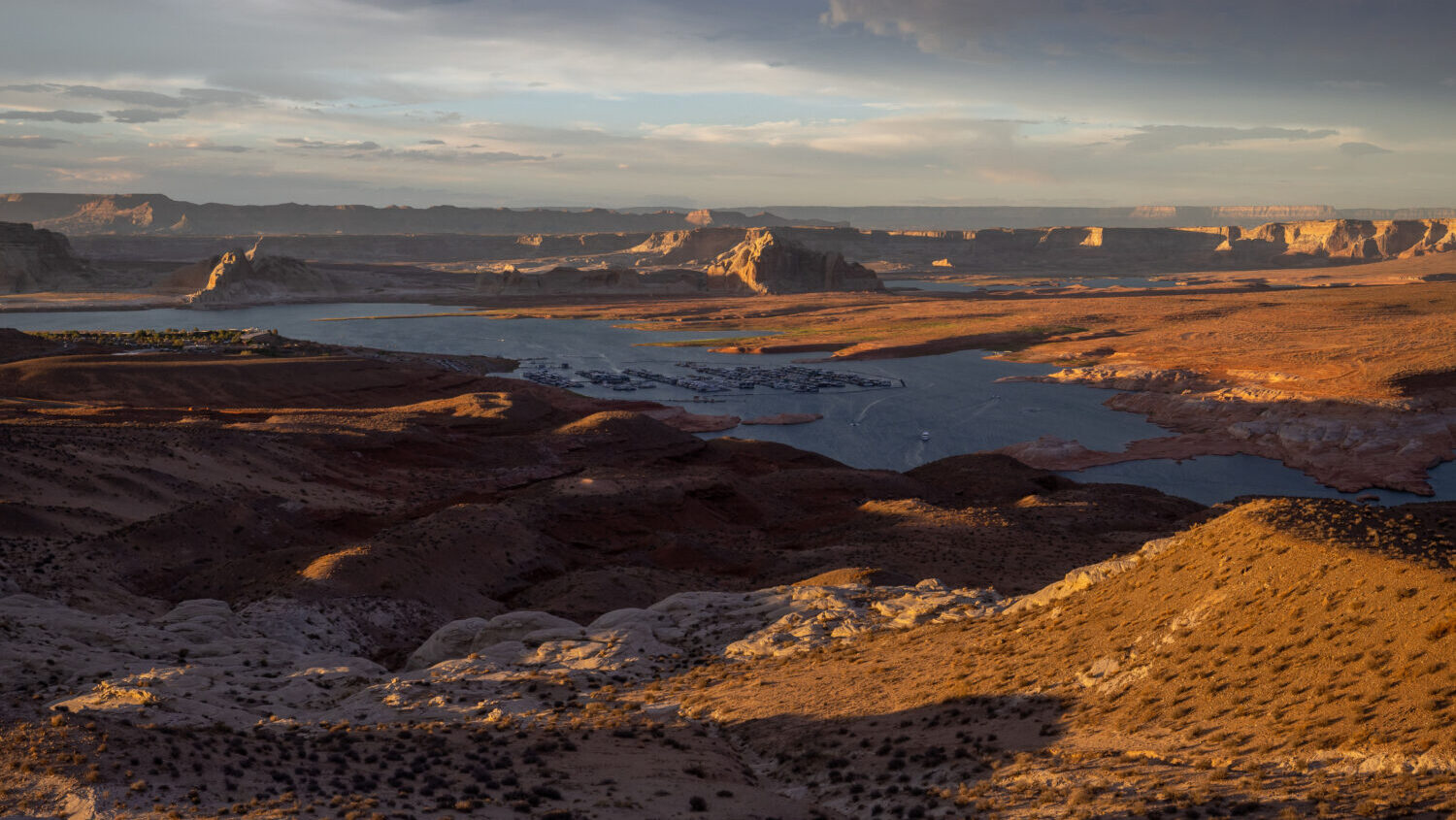
San Rafael Reef east of the San Rafael Swell and south of I-70 in May, 2015. (Dave Cawley/KSL NewsRadio)
(Dave Cawley/KSL NewsRadio)

SALT LAKE CITY — An app known for helping outdoor enthusiasts navigate backcountry adventures can now help them find dispersed camping spots.
Andy Zielinski, the senior product marketing manager for onX Offroad said the dispersed camping feature, which is being referred to as a “layer,” can be switched on and off by subscribers, allowing them to view precise locations on a map.
“Historically, one of the major problems that off-roaders or people who want to just go out and recreate face [is] knowing exactly where they can camp that is not tied to a specific campground,” said Zielinski. “So we went ahead and solved that problem by compiling all of the data into a single spot where they can quickly access [it.]”
After locating a dispersed camping spot, users can use the app to navigate there.
Zielinski said the app works even outside of cell service. That’s a benefit since connection may be spotty or absent on backcountry adventures.
Dispersed camping rules
Dispersed camping refers to staying outside of a designated campground. In Utah, it is generally allowed for periods of up to 14 days within each 28-day window.
The Bureau of Land Management and Forest Service said dispersed camping is allowed on many acres of their land. However, there are some regulations that users must follow.

A Wasatch National Forest sign is pictured in Millcreek Canyon on Wednesday, July 9, 2025. (Kristin Murphy/Deseret News)
Dispersed camping must take place at least 200 feet from bodies of water. It also must happen at least 300 feet from any BLM livestock range improvements.
Campers are required to travel on designated routes.
Dispersed camping is only permitted on previously disturbed sites — those that have already been impacted by humans. This rule is in place to preserve the landscapes surrounding sites.
When camping on these isolated sites, the BLM said digging and leveling sites, and cutting branches from trees, is prohibited.
Leave no trace
Regardless of the area, visitors are expected to practice Leave No Trace principles, which include proper waste disposal, responsible campfire construction and leaving the site as it was found.
Campsites must also be set up at least 200 feet away from water, ensuring pollution is minimized. Tents, trailers and vehicles must not crowd or trample vegetation.
Finally, it should be noted that dispersed camping is often prohibited in areas near established campsites, picnic areas and trailheads.
Before you begin your trip, check regulations for the specific area you plan to visit.
onX also helps travels avoid wildfire areas
In addition to the new dispersed camping feature, onX also released a feature that helps users avoid active wildfire areas. It debuted earlier this summer.
Zielinski said the feature works the same as the app’s dispersed camping layer. Users can turn it on or off from the app’s basic map.
“Every year, active wildfires devastate private and public land all across the country and that creates challenges,” Zielinski said. “You can imagine a 20-million-acre fire or however big … can not just have devastation on the land but the air quality itself.”
Data shown in the layer is processed every 30 minutes, providing timely information pulled directly from the National Interagency Fire Center.
“That’s a key distinction because we are pulling in from reputable sources, making sure that that is indeed correct,” Zielinski said. “Whether you are planning a trip or you’re actually out on your trip, you have access to near real-time information.”
In addition to telling campers what areas are on fire, it can help them decide which sites may be impacted by smoke through the app’s air quality index layer.
More information on the app’s features can be found on onX’s website.