Winter weather advisories come as low-pressure system arrives in Utah
Nov 16, 2025, 12:43 PM
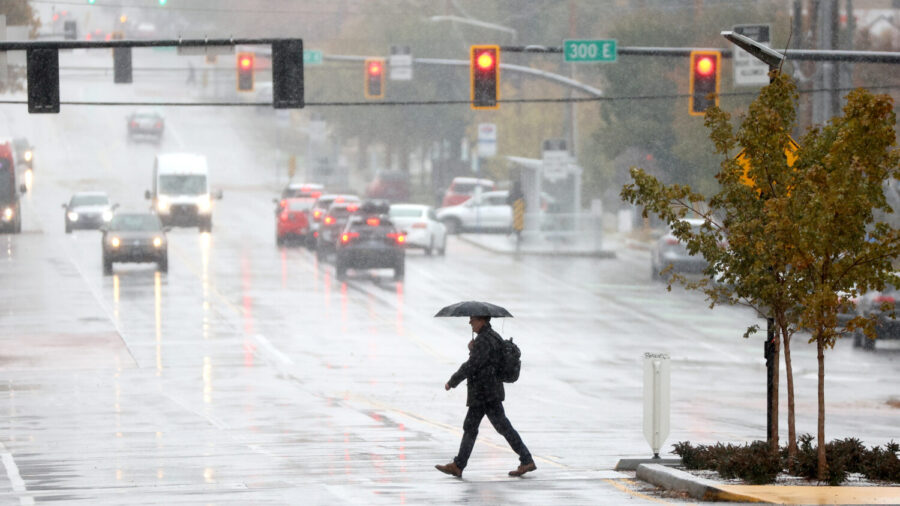
A man carries an umbrella while walking through a mix of rain and snow in downtown Salt Lake City on Tuesday, Nov. 12, 2024. (Kristin Murphy, Deseret News)
(Kristin Murphy, Deseret News)

SALT LAKE CITY — A low-pressure system arrived in Utah Sunday, bringing the apparent end to warm temperatures that stretched deep into fall.
The weather system first moved into southern Utah, bringing with it cause for winter weather advisories at high elevations across much of the state’s southeast.

A map from Sunday, Nov. 16, 2025, shows winter weather advisories in purple and hazardous weather outlooks in yellow in Utah. (National Weather Service)
The National Weather Service said winter driving conditions should be expected Sunday for the areas shown above in purple.
“Snow levels will start near 9,500 to 10,000 feet this morning, falling to near 7,500 feet by Sunday afternoon. Snow levels will fall as low as 6,500 to 7,000 feet in heavier precipitation Sunday evening into Monday morning,” the NWS said.
The winter weather advisory was set to expire at 5 a.m. Monday. Until then, the NWS urged anyone on the road in the wintery conditions to drive carefully and slow down.
Eastern Utah was also placed under a hazardous weather advisory, with the NWS expecting valley rain and mountain snow there. Some thunderstorms were also possible.
Along the Wasatch Front
Heavy showers were expected across the Wasatch Front beginning Sunday afternoon, bringing the possibility of valley rain totaling to .4 to .7 inches. Snow was expected at higher elevations in the Wasatch Range.
Cooler weather and more precipitation were expected moving into next week.