Weak inversion builds over Wasatch Front, but air quality is in good shape
Oct 28, 2024, 1:00 PM | Updated: 3:14 pm
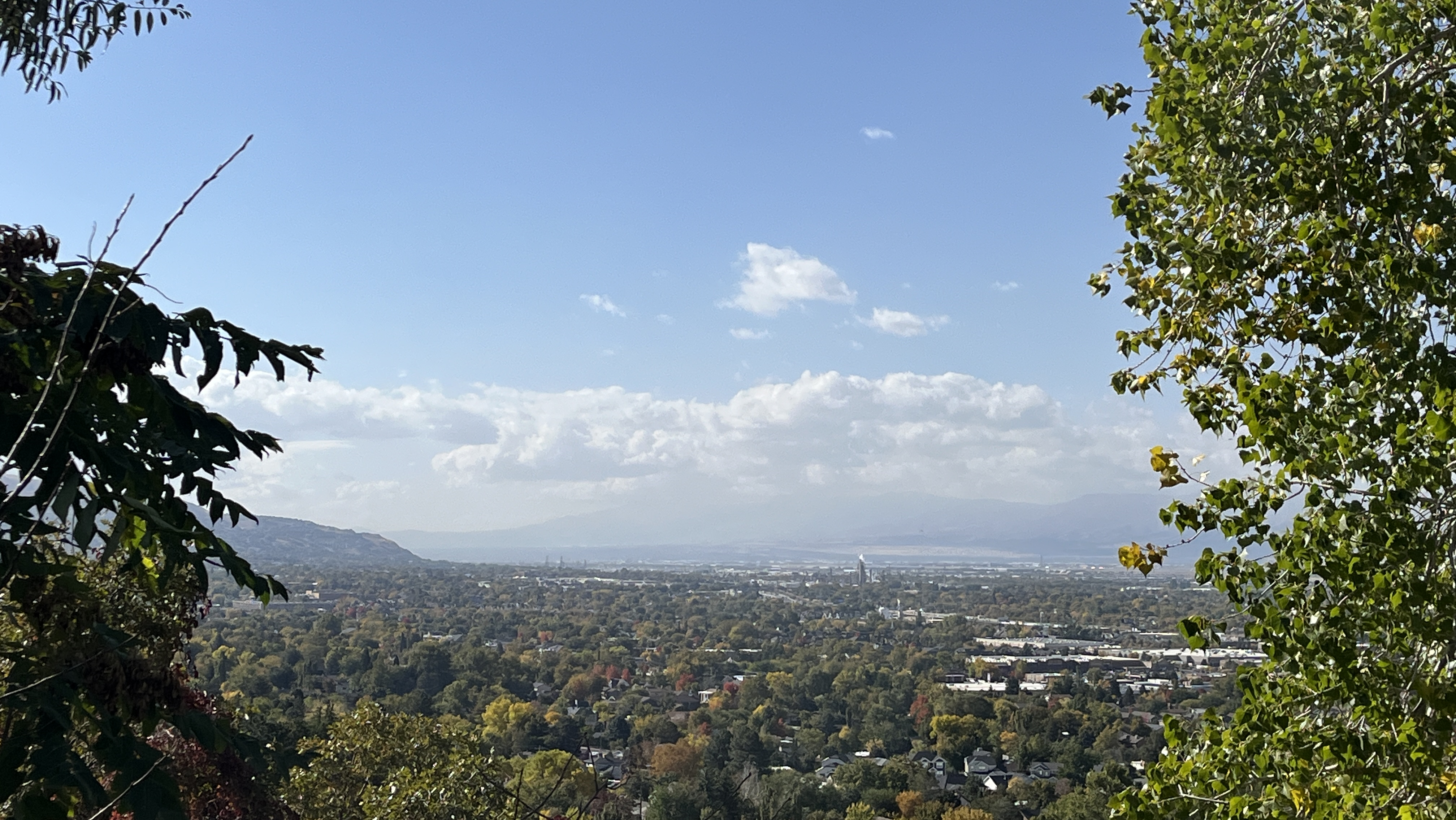
Inversion in Centerville, Utah on Oct. 28, 2024. (Adam Small/KSL NewsRadio)
(Adam Small/KSL NewsRadio)
SALT LAKE CITY — Drivers might’ve noticed some haze around the valleys of northern Utah on Monday. Believe it or not, it was a weak inversion that formed in the morning hours.
KSL Meteorologist Matt Johnson said this was a weaker, or what’s known as a nocturnal inversion.
A nocturnal inversion is formed by cold overnight temperatures and then broken up by warmer daytime temperatures.
Johnson said that the stronger, long-lasting inversions typically form between Thanksgiving and Valentine’s Day. But it is possible, like Monday, for nocturnal inversions to form as early as October and last as late as March.
Despite the pollution getting trapped in the atmosphere, air quality monitors throughout northern Utah have stayed in the green or good range, as of the time of publication.
Johnson said air quality is expected to stay in the good range for at least the next couple of days courtesy of a storm moving through the Beehive State Monday night through Wednesday morning.