Winter storm chips away at snowpack deficit, more needed for a healthy season
Feb 17, 2025, 12:49 PM | Updated: 4:01 pm

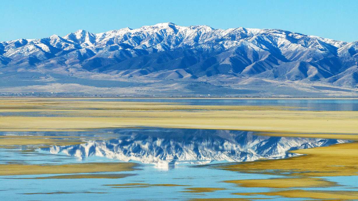
Snow on the Wasatch mountains in the Salt Lake Valley on Sunday, Jan. 26, 2025. (Scott G Winterton/Deseret News)
(Scott G Winterton/Deseret News)
SALT LAKE CITY — Utah’s snowpack got a major boost from Mother Nature with a huge delivery of valley rain and mountain snow over the last several days.
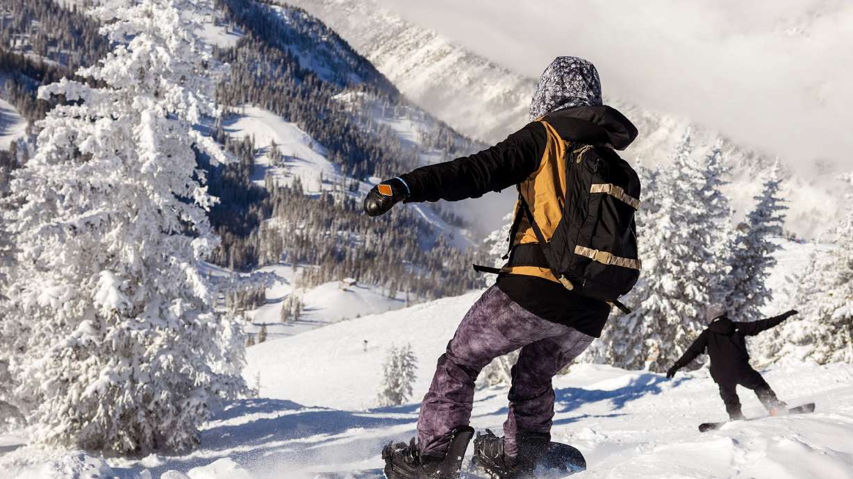
Between Thursday and Monday morning, Snowbird registered 47 inches of snow, Alta added 44 inches, Powder Mountain received 38 inches and Solitude grabbed 35 inches.
All of Utah’s mountains saw a huge boost in snowpack totals, with the average statewide snowpack deficit for the season dropping from 23% to 8% since Thursday morning.
Southern Utah, which has had an abysmal winter thus far, also got a critical boost but remains significantly short.
The snow water equivalent — the amount of water in the snowpack — in southwestern Utah improved from about 77% below normal to 61% below normal after the recent storm. As of Thursday morning, the Escalante region remains around 60% below normal.
SWE totals in northern Utah are looking much better, with all stations from Tooele to Logan to the Uintas reporting at least 92% of normal snowpack.
More storms needed to maintain snowpack
Utah’s snowpack typically peaks during the first week of April, usually by April 1. KSL Meteorologist Matt Johnson said to end the year with a healthy snowpack, both ends of the state ideally need a good storm at least once a week.
Johnson said this means a weekly that delivers at least a foot of snow to the mountains for the next six weeks. Not only would this help northern Utah and the Great Salt Lake Basin maintain healthy snow water levels, but also help southern Utah make up for their current deficit.
The Wasatch Front is expected to see rain and snow in spurts this week, with another storm making it’s way through Wednesday and Thursday.
Johnson said the northern mountains could grab another 6 to 12 inches of snow over the next few days. However, long-range models indicate that the St. George area may experience dry conditions for the next couple of weeks.
If that happens, Johnson said southwestern Utah would need even bigger storms to make up for the deficit in March. On the bright side, he said March is typically Utah’s snowiest month on average.
Adam Small is a reporter for KSL NewsRadio. He primarily reports on the Great Salt Lake and Natural Resources. Follow him on Facebook and X.