Storm puts dent in snowpack deficit, but it’s likely too late to catch up
Feb 19, 2026, 1:31 PM

Cars travel on I-15 in a snow storm in Salt Lake County on Wednesday. (Isaac Hale, Deseret News)
(Isaac Hale, Deseret News)
SALT LAKE CITY — This week’s winter storm delivered an impressive amount of snow to Utah’s mountains, but it still wasn’t even close to enough to make up for what’s been a near record low winter, in terms of snowpack, for the Beehive State.
On Monday, the statewide snow water equivalent, or more simply, the amount of water in the statewide snowpack on average, was about 48% below normal for that date, compared to Utah’s snowpack totals over the last 30 years.
KSL meteorologist Matt Johnson said the storm then dropped anywhere from two to four feet of snow in our mountains.
Alta has gained five feet of powder over the last week or so.
Even after all that snow fell, our snow water equivalent is still about 35% below normal based on the 30-year average. And with just 43 days until Utah’s snowpack typically peaks for the year, we’re still not even halfway to the snow water total needed to call this an average winter.
That’s based on all snowpack data in Utah going back to 1981.
To erase the deficit, our snowpack would need to gain more than double the water it has accumulated so far this winter in just over a month.
Johnson said doing that is not impossible, but it is highly unlikely.
“It’s a little late for that … the chances of us reaching normal are pretty stark right now,” Johnson said. “In regards to Spring and Summer, we definitely need to start thinking about, ‘okay, what’s the play now?'”
Johnson said we’d need roughly four or five more storms like the one we just got to get close to a normal snowpack, and that snow would need to fall throughout the entire state.
“It would have to be a miracle to get back to normal,” Johnson said.
Johnson said it’s highly unlikely that would happen, given it’s normal to encounter dry spells during the winter, meaning it’ll likely happen again before the start of April.
On the bright side, March is typically one of the snowiest months in the winter in Utah.
Johnson said we’d need nothing short of a ‘Miracle March’ to come anywhere close to normal snowpack for the year.
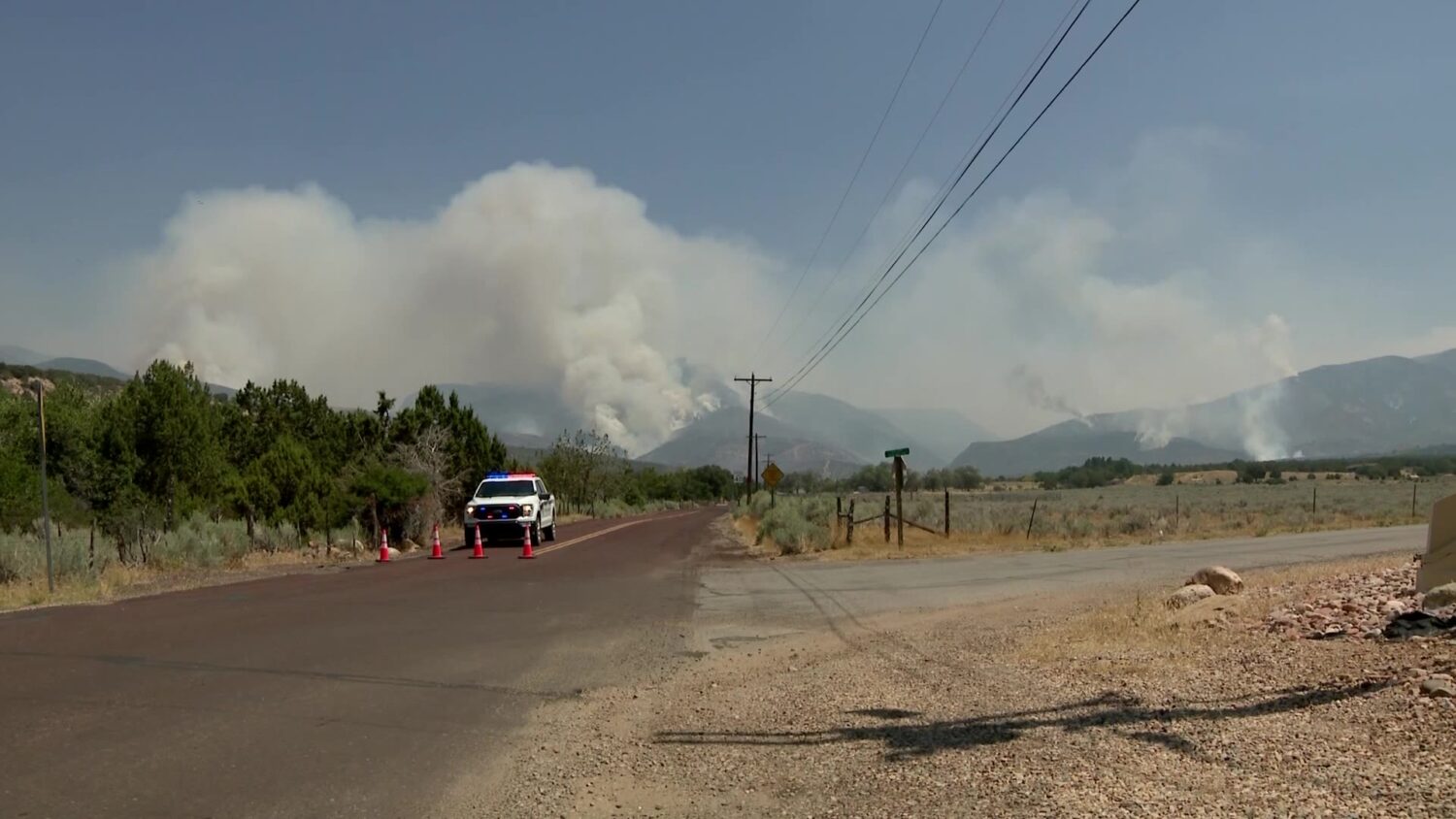
If that doesn’t happen, we could see prime wildfire conditions take shape, and our reservoir levels would likely take a hit.
It could also mean further problems for both the Great Salt Lake and Lake Powell, both of which are once again hovering just above their record lows.
Related: Snow, wind and rain brings road restrictions, crashes and wind damage to parts of Utah