Utah officials monitor flood risk as rain and snow storms return
Apr 18, 2023, 8:31 AM

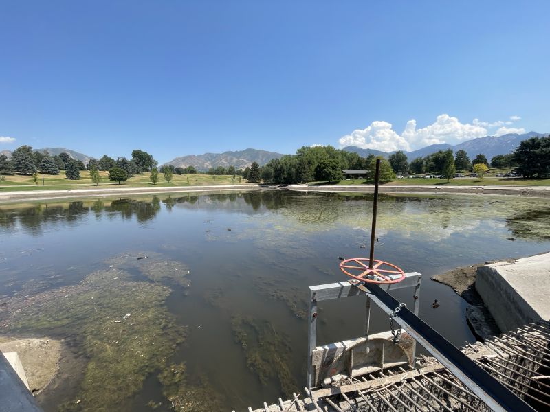
Emigration Creek is running high and fast, but as of late Monday night, no additional flooding. Sandbags are ready the the mouth of the canyon (Derek Petersen, KSL TV)
(Derek Petersen, KSL TV)
SALT LAKE CITY— Utah officials are monitoring flood risk as rain and snow fell along the Wasatch Front on Tuesday.
Snow showers are expected to arrive in northern Utah tonight and fall in the higher elevations through Tuesday evening. Accumulating heavy snow and/or slush are forecast on area mountain passes. Snow is not expected to fall in the valleys. #UTwx pic.twitter.com/OfsDaqAoeq
— NWS Salt Lake City (@NWSSaltLakeCity) April 17, 2023
KSL Meteorologist Kristen Van Dyke said depending on the area, around a tenth to a quarter of an inch of rain could fall in the valleys, while the mountains could see 6 to 12 inches of snow.
Road Weather Alert:
A spring storm will being periods of road snow/slush to the northern mountains and the Wasatch back on Tuesday.
For more info, visit: https://t.co/4P1gO2c9Uo #utwx #utsnow @UtahTrucking pic.twitter.com/h1rPSJ5p3y
— UDOT Traffic (@UDOTTRAFFIC) April 17, 2023
Despite that, National Weather Service Meteorologist Linda Cheng told KSL Newsradio that she doesn’t expect the patchy storm to have a huge impact on flood risk in Utah.
There is still a flood advisory in place for Emigration Creek until Wednesday at 9 a.m.
Latest forecast (green line) for Emigration Creek is set to hit peak flow at 142 cfs early Wednesday morning. #utwx 💧 pic.twitter.com/J2ZX8dNVDg
— Matthew Johnson (@KSL_Matt) April 18, 2023
Van Dyke said rain should pick up more by noon Tuesday and that conditions will dry out by Wednesday.
Temperatures are not expected to reach 60 degrees again until Sunday.
Related reading: Where to get sandbags to help mitigate possible flooding in Utah