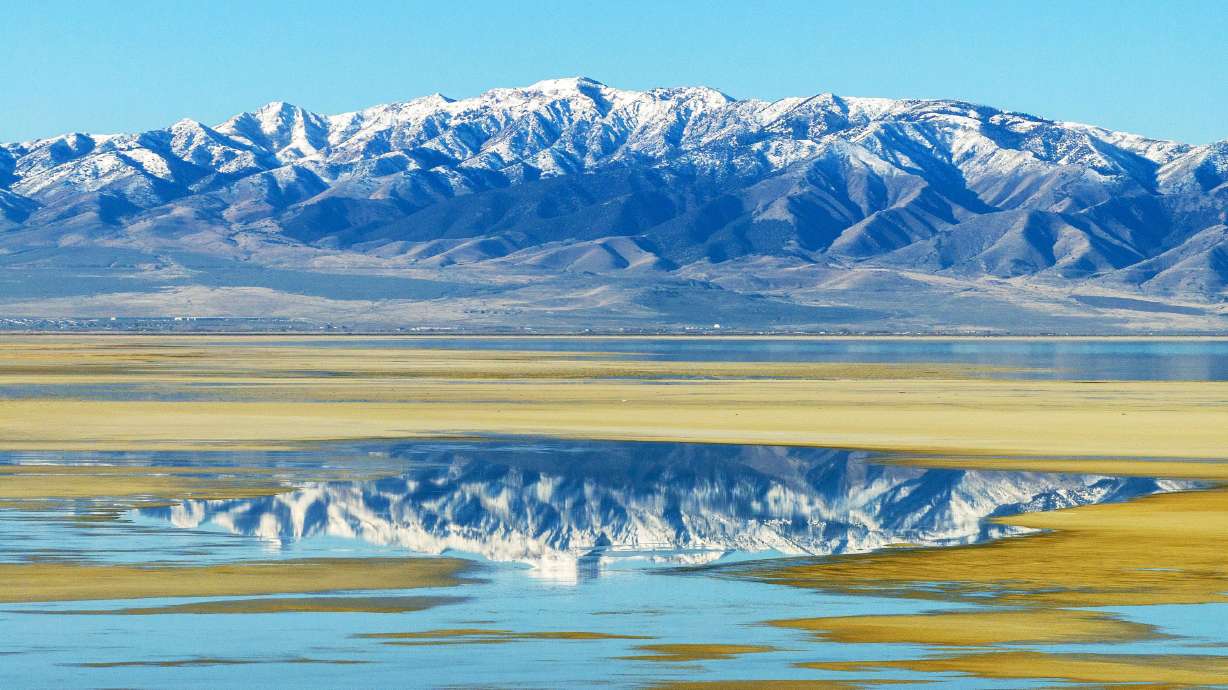
Utah snowpack at 55% of normal after unseasonable start to December
Dec 18, 2025, 8:49 PM
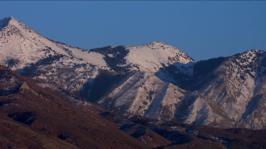
Snow is pictured on the mountains above Draper. (Chopper 5)
(Chopper 5)
SALT LAKE CITY — Utah’s snowpack is not sitting in a great spot.
Statewide, it’s about 55% of normal, according to the Utah Division of Water Resources.
The snowpack, which is critical to the state’s water supply, has been especially poor in the northern part of Utah. Southern Utah’s basins had a stronger start to the season.
“We would normally be having a lot of snow by now,” said Laura Haskell, drought coordinator at the Division of Water Resources, “and we haven’t had that.”

Snow is pictured on the mountains in Salt Lake County. (Chopper 5)
Right now, nearly the entire state is in some level of drought. Last year, according to state officials, less than 20% of the state was in drought.
It’s been unseasonably warm this December, and big storms have been scarce. But even with the rough start to winter, Haskell isn’t giving up hope yet for a decent finish to this season’s snowpack.
“The snowpack usually doesn’t peak until about the first of April, so at this point, we could have a couple of good storms and get caught up. It wouldn’t be a problem,” she said.
However, she added, “the longer we have these dry conditions, the harder it is going to be to catch up.”
State officials are urging Utahns to save water where they can. There are tips on how to do that — as well as information about rebates for taking water-saving measures — at slowtheflow.org.

Snow is pictured on some high mountain peaks in Salt Lake County. (Chopper 5)
One silver lining right now, Haskell noted, is that Utah’s soil moisture is better than normal thanks to a very wet October. Higher soil moisture can help a lot with the spring runoff and make it more effective.
That is, if there’s snow to run off.
“We would really like to get some snow,” said Haskell.