More snow expected along the Wasatch Front Tuesday night
Mar 18, 2025, 12:26 PM | Updated: 1:17 pm
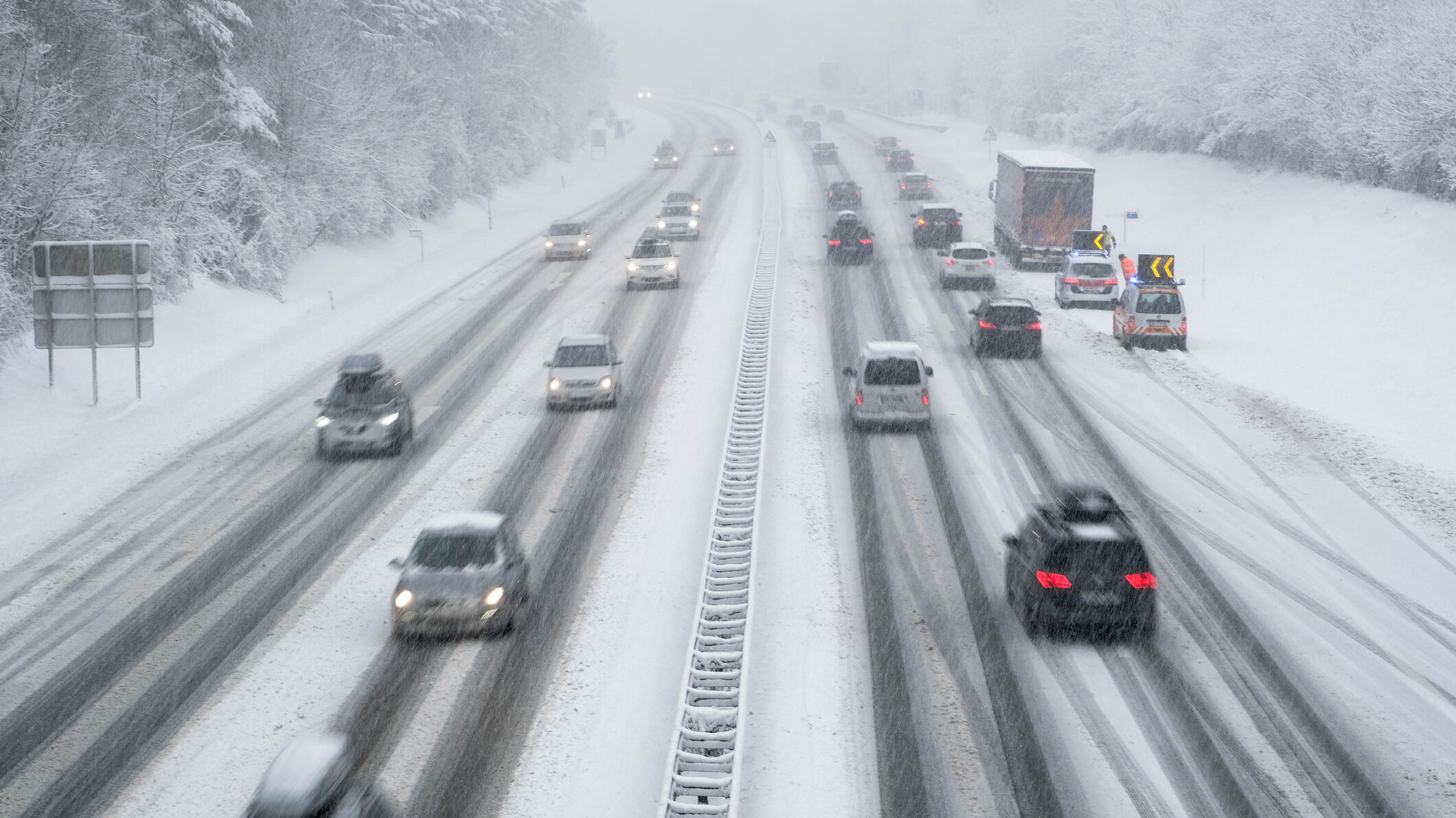
A winter storm has hit Utah and may cause slick driving conditions. (Getty Images)
(Getty Images)
SALT LAKE CITY — The Wasatch Front was hammered with snow Tuesday morning and more is expected to fall off and on through this afternoon.
According to Utah Highway Patrol Lt. Cameron Roden, there were approximately 50 crashes on the roads by 9 a.m.
Evening commute
National Weather Service Meteorologist Linda Cheng said temperatures should get above the freezing mark as we progress through the day, improving road conditions.
However, Cheng advised using caution.
“I would recommend people take a slow because you don’t know whether you’re going to run into a little bit of slush or some light snow accumulations,” said Cheng. “Even though most areas are going to be wet, there could be some patches of snow here and there.”

(National Weather Service)
Will the Wasatch Front get more snow?
According to KSL Meteorologist Matt Johnson, the valleys could pick up another 3 to 6 inches of snow. Additionally, the benches could accumulate up to a foot of snow, and the mountains could push two feet depending on the spot.
Johnson said the brunt of the storm was this morning and storms will become more isolated Tuesday evening. He said that lake effect snow is possible tonight and maybe even early tomorrow morning.
“I’m also seeing a hint from models that we could see a little lake effect band try to fire back up,” said Johnson. “Not the highest confidence on that, but increasing snow showers for the overnight, maybe even into early Wednesday morning.
For weather updates go to KSL’s weather forecast.
Related: Will Utah’s snowpack be enough for a healthy spring runoff?