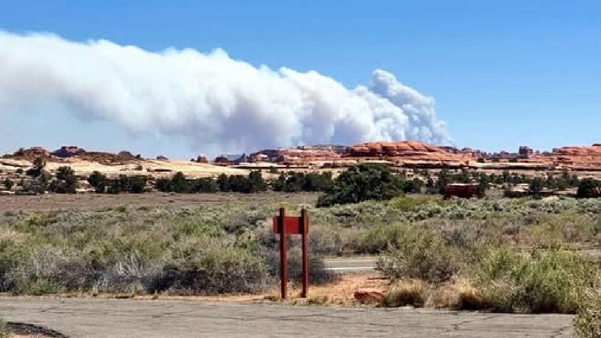
National Weather Service warns risk of flash flooding in southern Utah
Aug 24, 2025, 2:57 PM
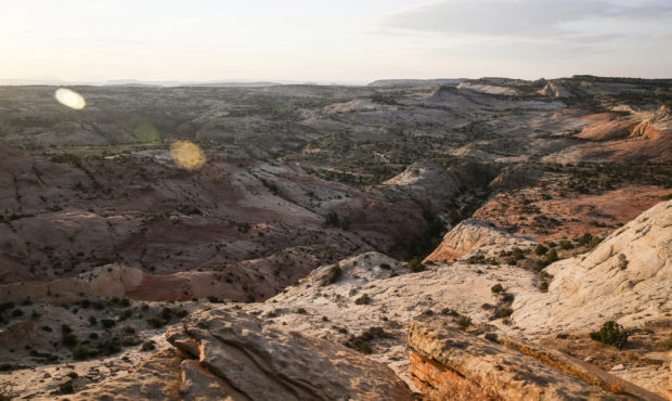
FILE - This July 9, 2017 file photo, shows a view of Grand Staircase-Escalante National Monument in Utah. (Spenser Heaps/The Deseret News via AP, File)
(Spenser Heaps/The Deseret News via AP, File)

SALT LAKE CITY – The National Weather Service warned Utahns that flash floods may be possible in southern portions of the state Sunday.
The National Weather Service Salt Lake City office said incoming storms and monsoon moisture would increase the risk of flash flooding.
With deep monsoon moisture in place, much of Utah will see an increased risk of flash flooding today, particularly over southern Utah. The deep moisture will remain in place through the middle of next week, resulting in continued development of showers and thunderstorms. #utwx pic.twitter.com/CtwYlUCbNx
— NWS Salt Lake City (@NWSSaltLakeCity) August 24, 2025
KSL Meteorologist Kristen Van Dyke said the active weather pattern ahead of the state was expected to be “daily rounds of showers and thunderstorms.”
Van Dyke said “soaking rains” would be possible throughout the middle of the week.
Localized weather warnings
The NWS SLC reported heavy rainfall Sunday near Antimony in Garfield County, prompting a small stream flood advisory.
“Any travelers use caution driving through this area,” the NWS said on X. “Keep a heads up for standing or flowing water.”
Other portions of Garfield County had warnings in effect due to high winds up to 40 miles per hour and possible hail.
This story may be updated as more information becomes available.