Rain presents a double edge sword for fire in Utah right now
Jul 15, 2022, 4:00 PM | Updated: Aug 2, 2022, 10:34 am
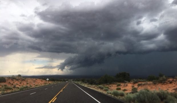
FILE: Storm clouds over southern Utah on July 14, 2018.
SALT LAKE CITY – – With fire season well underway in Utah, rain is vital to the prevention of more burning land. Over the last couple days in July, the Beehive State has seen the highest level of moisture in the air this time of year leading storm development to produce heavy rain according to the National Weather Service.
Although the rain is beneficial for Utah, these storm lead to new threats along with the fires. KSL Meteorologist Matt Johnson, says these heavy downpours could lead to mudslides and debris flows with flash flooding on the radar this weekend.
The amount of moisture of the area is about as high as it gets for this time of year. Any storms that develop today will produce heavy rain that could lead to flash flooding, particularly over southern Utah. Be prepared! #utwx https://t.co/MBAztbP6mc
— NWS Salt Lake City (@NWSSaltLakeCity) July 15, 2022
Utah’s current largest burning fire, the Halfway Hill fire, saw two-tenths to a half inch of rain the last few days. Although this may have slowed the burn, high temperatures will break through the clouds early next week posing a threat to the Halfway Hill, Dry Creek and Jason City fires.
An increase in cloud cover today will keep high temperatures within 5°F of seasonal normals across the area. Temperatures will warm again this weekend, with some potential for dangerous heat by early next week. Here’s today’s temperature forecast. #utwx pic.twitter.com/pd9a2OCjyz
— NWS Salt Lake City (@NWSSaltLakeCity) July 15, 2022
“Yes we would have liked a little more rain on top of these fires,” said Meteorologist Johnson. “we’ll take what we can get.”
Nice rain totals over the last 24 hours! #utwx 🌧️
Left: Rain this morning
Right: Rain yesterday pic.twitter.com/fDv8GgHMEw— Matthew Johnson (@KSL_Matt) July 15, 2022
