Heavy rain coming to northern Utah, flash flooding probable in the south
Sep 13, 2022, 9:30 AM
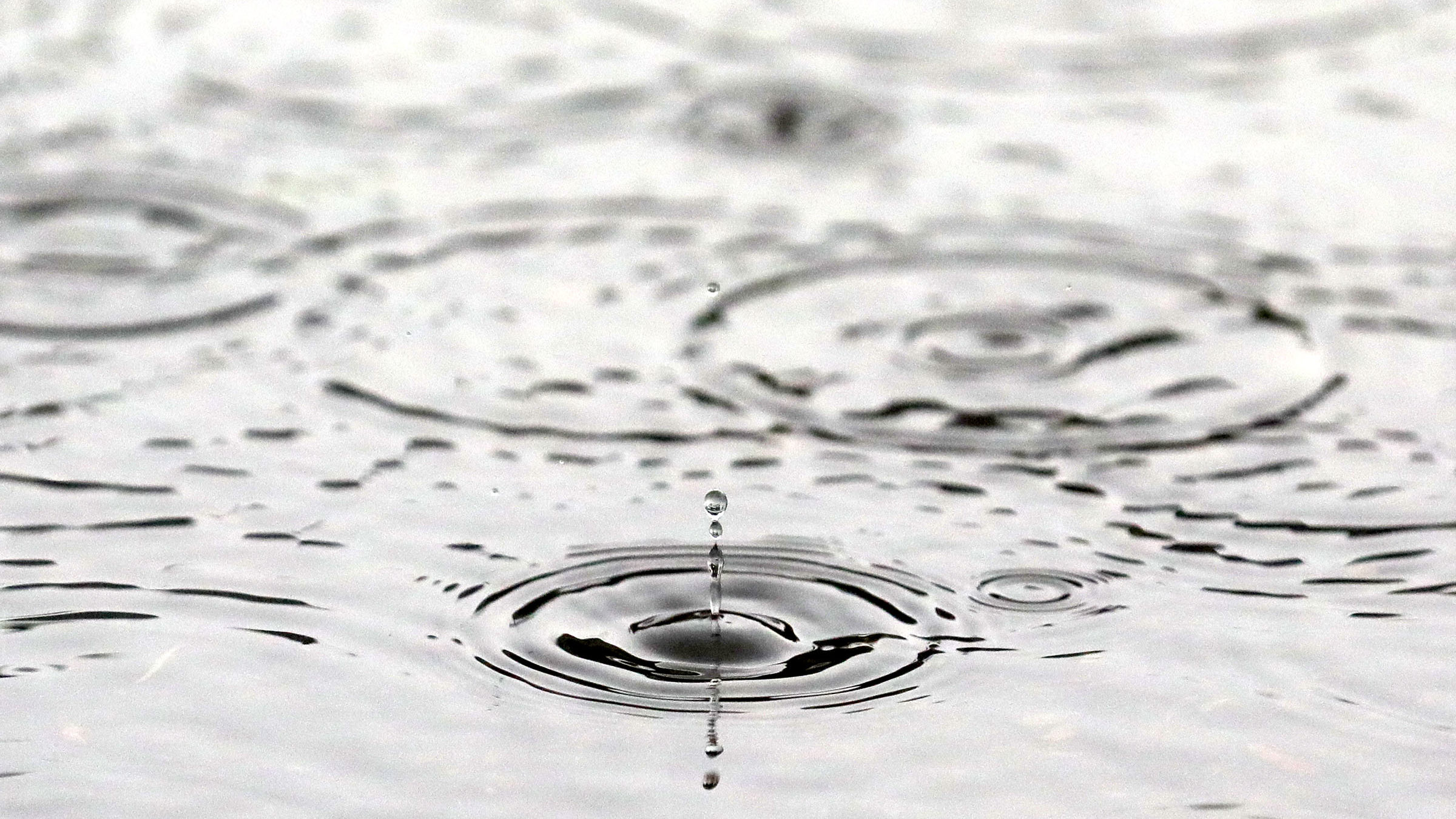
Raindrops fall in a puddle during a rainstorm in Salt Lake City on Wednesday, Aug. 18, 2021. (Kristin Murphy/Deseret News)
(Kristin Murphy/Deseret News)
SALT LAKE CITY –Remnants from Tropical Storm Kay are making their way through for the next few days, bringing rain and cooler temperatures to Utah.
The Wasatch Front is expected to see a lot of rain through Friday, according to KSL Meteorologist Kevin Eubank.
“By [this] afternoon, we’re dealing with rain, lightning and thunder,” Eubank said. “It will continue into the overnight…with storm potential [of] an inch and a half possible in the Northern valleys with even more in the Northern mountains.”
Eubank said some weather models in Utah County indicate that area could see a half-inch of rain or more just today.
Rain is also expected to hit Southern Utah, with flash flooding being the major area of concern.
The National Weather Service Salt Lake City says flash flooding is probable in all of Utah’s national parks, and Zion National Park can expect flooding to occur.
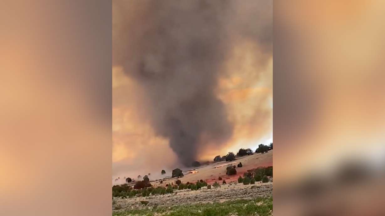
Burn scars are also areas of concern as storms roll through the state. The National Weather Service says some of those to be extra careful around are Bald Mountain, Dollar Ridge, East Fork and Trail Mountain.
KSL meteorologists forecast highs in the low 80s for today. For the end of the week, highs will only reach the 70s until storms move out heading into the weekend.
Related: A break from the smoke (and bad air quality) with this week’s rain