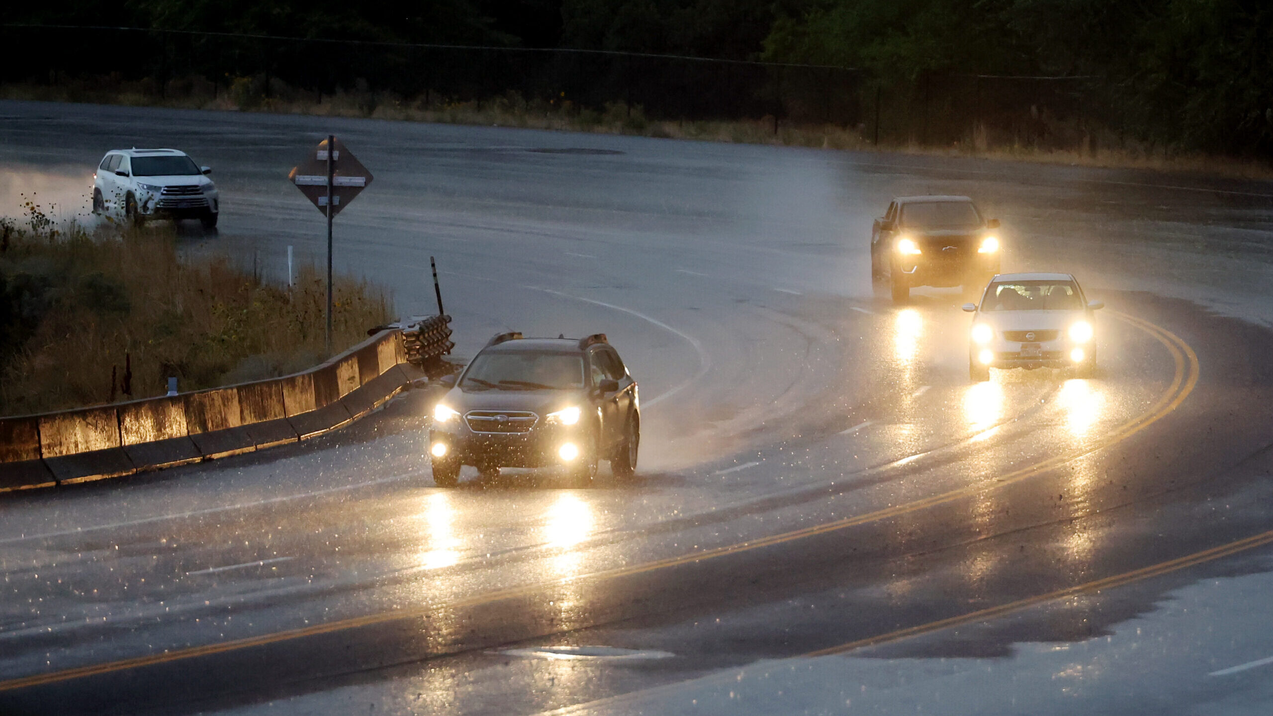
Wasatch Front gets snow, Utah drivers get tough commute
Dec 5, 2022, 9:03 AM | Updated: 10:15 am
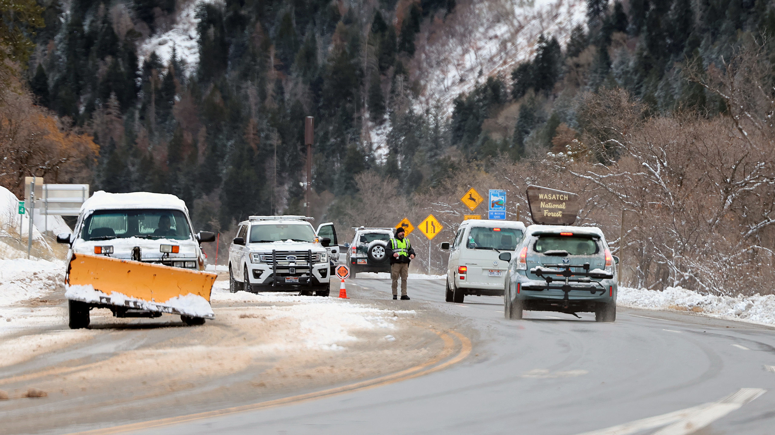
Unified Police officers check cars as they drive up Little Cottonwood Canyon as snow hits the Wasatch Front on Friday, Dec. 2, 2022. (Scott G Winterton/Deseret News)
(Scott G Winterton/Deseret News)

SALT LAKE CITY — Another overnight dumping of snow greeted drivers all along the Wasatch Front Monday morning.
Utah Department of Transportation crews prepared for the commute overnight again. This is at least the third rough morning drive Utah has seen in just about a week.
Utah County got the worst of it, while Salt Lake County going north got hit largely before the drive. The National Weather Service reports areas in lower elevations like Magna, Bountiful, Logan, and Tooele all got about an inch.
Updated snow totals from this quick system:
❄11″ Brighton Crest
❄9.5″ Snowbird
❄9″ Alta Collins
❄3.5″ Powder Mtn
❄1.5″ Magna
❄1.3″ Bountiful Bench
❄1″ Logan Radio
❄1″ Springville
❄1″ Tooele#utwx #wywx https://t.co/1NWMhz5ccy— NWS Salt Lake City (@NWSSaltLakeCity) December 5, 2022
The National Weather Service Salt Lake City provided additional snow totals later Monday morning.
New numbers coming in:
❄6″ Timber Lakes
❄4.5″ Summit Park
❄4″ Deer Creek Dam
❄4″ Mapleton
❄3.8″ Oakley
❄1.8″ Logan
❄1.6″ Cottonwood Heights
❄1.5″ NE Ogden Bench
❄0.4″ Brigham City#utwx #wywx https://t.co/GD3hNPvWt2— NWS Salt Lake City (@NWSSaltLakeCity) December 5, 2022