Why is Utah getting walloped with snow this winter?
Jan 4, 2023, 5:30 PM | Updated: Jan 6, 2023, 12:20 pm
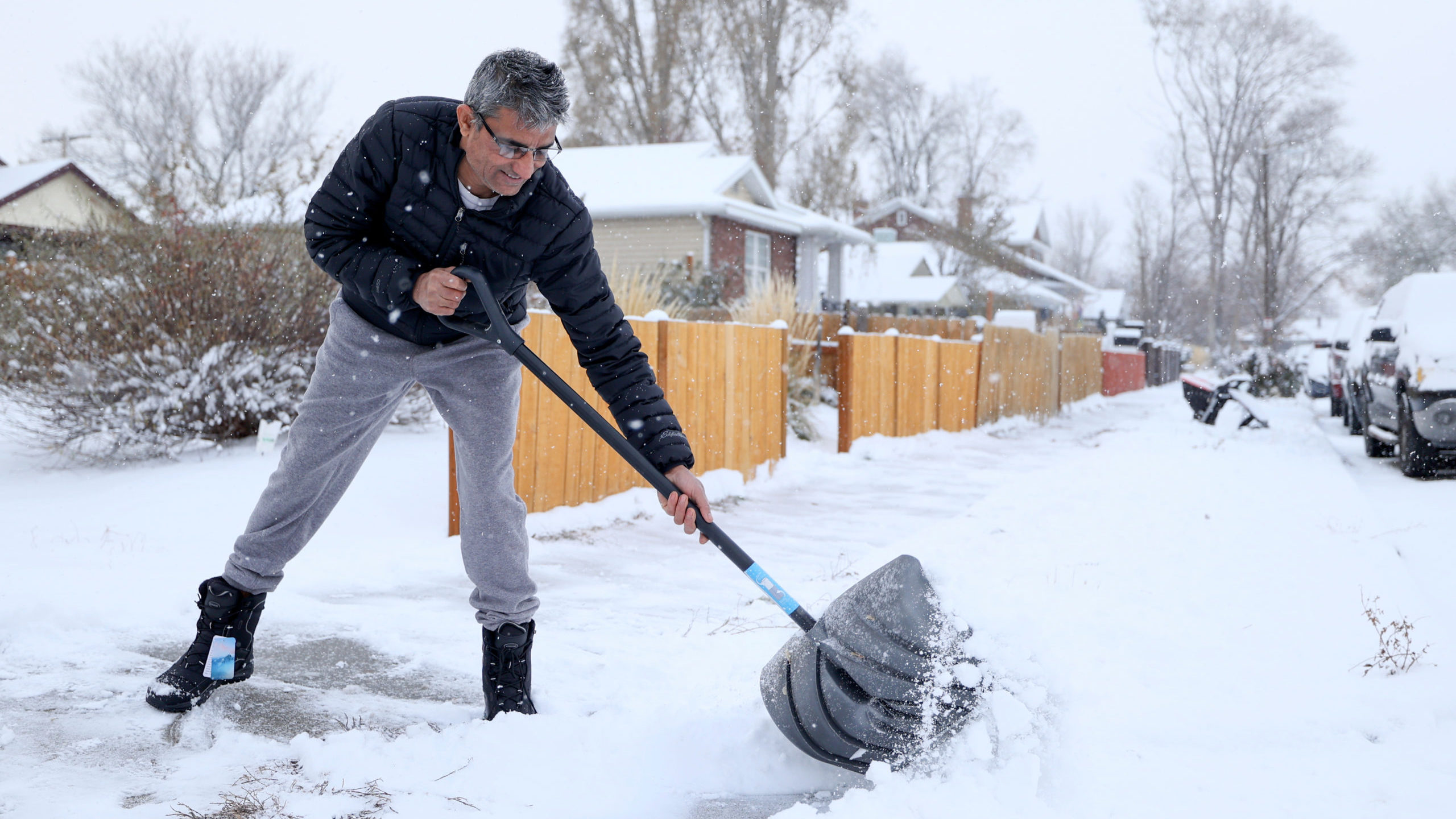
Hari Bastakoti shovels a sidewalk following a snowstorm in Salt Lake City on Tuesday, Nov. 29, 2022. (Kristin Murphy/Deseret News)
(Kristin Murphy/Deseret News)
SALT LAKE CITY — Why is Utah receiving so much snow early this winter? A climatologist comes on to KSL NewsRadio to help explain. Hint: river of pineapples.
As of Tuesday morning, Utah’s total snowpack reached 175% of its usual amount. Water levels for 2023 are already the highest they have been in 10 years.
Dr. Jon Meyer, assistant state climatologist at the Utah Climate Center at Utah State University, joins KSL at Night co-hosts Leah Murray and Derek Brown to help explain why this winter is so snowy, yet beneficial. The Western United States is in a bad drought. How bad is it?
While there was a time in the 1500s when soil moisture content was drier than that of 2000 to 2018, tree-ring evidence shows that 2000 to 2021 was the driest 22-year period since at least the Year 800.
So good timing — to say the least — for a wet winter?
Pineapple Express brings snow — and plenty of it — to Utah
Meyer said what Utah is experiencing now is an atmospheric river pattern, which he said used to be called a Pineapple Express because humidity around the Hawaiian Islands is brought in bands of tropical moisture to Utah.
Extreme wintertime precipitation in Utah is usually correlated with atmospheric river events, Meyer added.
“I’m just gonna say I feel like Pineapple Express is a better word than atmospheric river. So if you were a part of the branding of that, I think you should go back,” Leah said.
“I wish I could take credit for that. . . . Scientists aren’t very good at branding,” Meyer said.
He added that if Utah can receive one or two atmospheric river events a year, then it’s a good moisture year.
“We have plenty of years where we don’t get any of them. It’s tough to get them to migrate around this year in Nevada and California, which is usually where the biggest impacts of these events go. But occasionally they sneak to the south or to the north, and they make it here to Utah.”
Good start to winter but more snow will be needed
The cycles of wet and dry periods in the state don’t match up with the rest of the Western United States, which experiences El Nino and La Nina weather patterns, he said.
In Utah, “It’s about 12 years in fact that it takes us to go from one dry phase to the next dry phase or one wet phase to the next wet phase,” Meyer said. “The evidence right now suggests that we are flipping that switch.”
Leah pointed out that all of Utah’s regional snowpack totals are above 150% of average.
“What does it mean to be that high of a snowpack?”
“The entire state right now is sitting at about 170% of normal for this time of year,” Meyer said. “In about 50 years of observations of our mountains snowpack, we’re about the 90th percentile of where we are at normally for this time of year. So this is about as an ideal starts to our first half of winter.”
Meyer pointed out last year Utah also saw a big snowy start to the year.
“When we entered the new year in January last year, things were off to a great start. And then we flatlined for most of January and February, and we ended up below average after being pretty optimistic at the turn of the new year.”
Related reading:
How bad is the Western drought? New study says worst in 1,200 years. You read that right.


