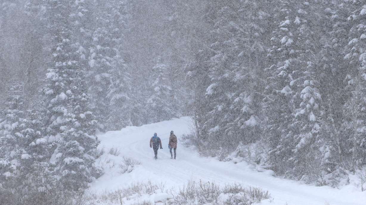
Spring running late, another snowy morning commute is predicted
Mar 23, 2023, 10:00 AM | Updated: Aug 13, 2023, 7:58 pm
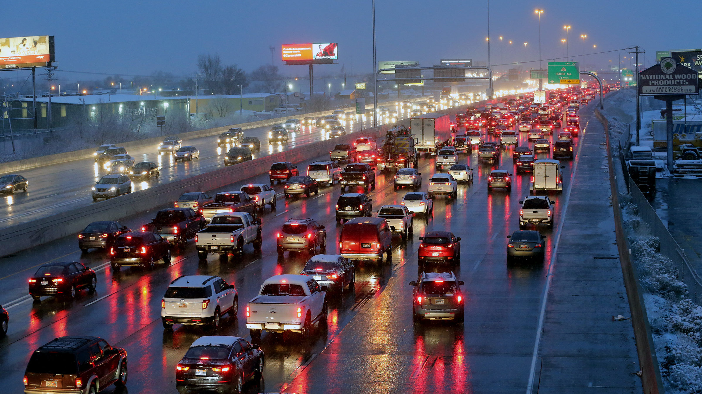
FILE: Drivers on I-15 in Salt Lake County face wet roads and worsening visibility as a snowstorm moves in. (Scott G Winterton/ Deseret News)
(Scott G Winterton/ Deseret News)
SALT LAKE CITY— Spring forgot to set its clock ahead, more snow is on its way to the Wasatch Front.
According to National Weather Service Meteorologist Linda Cheng, sporadic new snow could arrive as early as today. A snow squall was reported in the Layton area Thursday morning.
Snowstorms are expected to pick up Thursday night and Friday. They are expected to bring from two to five inches of snow to the valley floors. The benches could see a bit more.
A quick moving winter system will bring more snow to central and northern Utah valleys and mountains on Friday. With the possibility of light valley accumulations during the Friday morning commute, be sure to check in for future forecast updates! #utwx pic.twitter.com/2TtmOxbypv
— NWS Salt Lake City (@NWSSaltLakeCity) March 22, 2023
Cheng said the highest snow totals will be from Salt Lake County north to the Idaho border, but snow is expected to hit most of northern and central Utah too.
Temperatures are also expected to take a massive drop to as many as 20 degrees below normal for this time of year.
High temperatures this weekend are only expected to clip the upper 30s, and a warmup is not expected until next week.
That could play in the driver’s favor, however. Since temperatures are expected to climb above the freezing point, snow that falls on the roads should melt quickly.
For updates on Friday morning, tune in to Utah’s Morning News with Tim Hughes and Amanda Dickson (from 5 a.m. to 9 a.m.) for the latest weather and traffic updates.


