Utah flooding risk rising, right along with the temperatures
Apr 27, 2023, 4:02 PM | Updated: Apr 28, 2023, 7:28 am
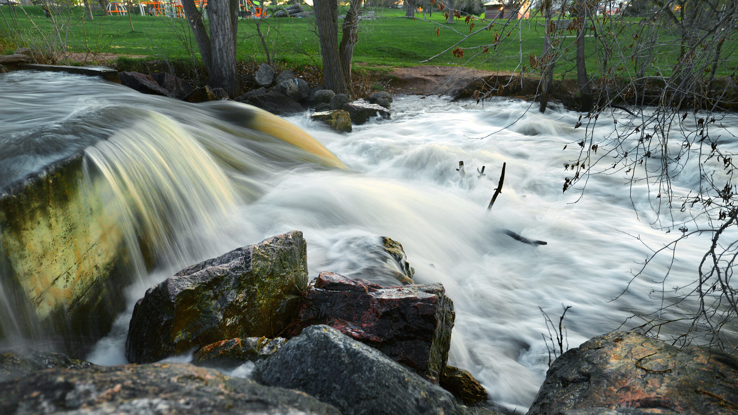
Fast moving water runs toward the pond at Sugarhouse Park on Wednesday, April 26, 2023. Scott G Winterton, Deseret News
SALT LAKE CITY– The risk of flooding in Utah is going to be front and center by the end of the weekend, as temperatures make a jump to the 80s and finally break through northern Utah’s drawn-out cold spell.
Live updates at 7:30 a.m.
Highs are not expected to break 70 degrees until Saturday. But they’re expected to stay in the mid-70s ahead of a three-day stretch in the 80s starting Sunday.
Related: Warmup across Utah: Here’s where to get sandbags to help mitigate possible flooding
And it’s not just the valleys heating up, KSL Meteorologist Matt Johnson said some areas like Alta Ski Resort will see high temperatures that are 20 degrees above normal.
“When you push record level temperatures in the valley and in the mountains … there’s no getting around it, you’re going to see excessive snowmelt,” Johnson said.
ANOTHER PULSE OF SNOWMELT: Our first round of consecutive 80 degree days is en route this weekend. Just like our first round of 70s, this will prompt another response from the snowpack. 🌊
SUN & MON will be near record levels in SLC. Alta will also be in record territory. #utwx pic.twitter.com/oGChy4PD3D
— Matthew Johnson (@KSL_Matt) April 27, 2023
Unlike the Utah flooding that’s already happened in places like Sugar House, this runoff is going to come from snow at higher elevations, since temperatures so far this year haven’t risen enough to melt much beyond the lower and mid-level snowpack.
“The deeper your snowpack is…the harder it is to melt because the average temperature of that snow is much colder,” Johnson said.
Johnson said he expects this warmup to tap into the higher part of the mid-level snowpack. Sometimes, he said, it takes 90 degrees or above to melt the snow from the peaks.
Utah flooding risk
The problem with three or more days in a row above 80 degrees is that it allows water levels to rise every day.
“With each coming day, your spike gets higher,” Johnson said referring to water levels at the end of each day. Basically, each day, the floor gets higher.
Johnson can’t say that everyone in the valley would experience flooding. But he will say that six or seven people out of ten will.
“If people live along any creeks, rivers or streams … definitely be on alert,” Johnson said.
Some better news is that some things are playing in our favor right now.
For one, a lot of the low-level snow that contributed to flooding in places like Sugar House and Kaysville has melted.
Second, Johnson said this kind of warmup isn’t enough to overwhelm our flood infrastructure. And, we have room to catch the water.
Waterways are expected to keep rising through the warmup, and some areas, like the Cottonwood Canyons, will likely begin melting for the first time this season.
So if your area is prone to spring runoff and potential flooding, “sandbags might not be a bad idea,” Johnson said.


