Winter storm hitting the Wasatch Front, flights and ski traffic delayed
Jan 17, 2024, 9:50 AM | Updated: 2:46 pm
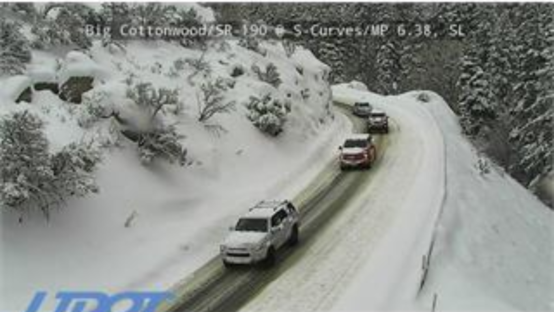
(UDOT)
(UDOT)
Listen live all day for the latest traffic and weather updates:
SALT LAKE CITY — Most of northern Utah woke up to wintery weather on Wednesday, and as of early afternoon it continues to impact Utah’s roads.
Nancy Volmer, Director of Communications and Marketing for the Salt Lake City International Airport, said around 50 flights incoming and outgoing have been delayed due to the winter weather.
Also, avalanche and road conditions forced UDOT to close Big Cottonwood Canyon as of 12;48 p.m. But about an hour later, the canyon was open again to alternating traffic.
Update!! Big Cottonwood Canyon is now open to alternating traffic. Expect delays. @kslnewsradio @KSLTraffic pic.twitter.com/O3XKcp1SzO
— KSL Traffic Updates (@KSLTraffic) January 17, 2024
Drivers can expect slowdowns and multiple crashes because of the winter conditions from Murray to the Idaho border. There are also crashes, slowdowns, and weather affecting I-80 from Great Salt Lake to Summit County.
Officials ask drivers to delay travel if possible.
Where is it snowing the most? When does snow end?
Snow will hit the entire Wasatch Front today. However, forecasters say the Ogden area, and north of Ogden, will get hit the hardest.
KSL Meteorologist Matt Johnson said there’s some warm air coming in behind this storm, which will make things look a lot different by the afternoon.
According to Johnson, the storm will become a mix of rain and snow, especially in areas south of Davis County.
“We do have some leftover cold air at the valley floor. So, that’s helping to support snowfall this morning. But as this storm moves in, it will erode the cold pool that resides at the valley floor and we’ll see more of a rain-snow mix,” said Johnson.
How much snow is expected in Utah today?
Salt Lake County, Tooele, and Utah County could get upwards of a half inch of water between rain and snow today. The mountains could push six inches to a foot of snow by the time the wintery weather tapers off tomorrow morning.
Ogden and areas north of Ogden could get see up to four inches of snow. The rest of the Wasatch Front might only see an inch before it turns into a rain and snow mix. However, another round of snow is possible Wednesday night.
Related:
- Weather delaying school start times Wednesday morning
- Utah’s snowpack catches up following week of storms
- How to prevent frozen pipes, indoors and outdoors