Utah’s snowpack hits record low average
Feb 2, 2026, 10:59 AM | Updated: 12:08 pm
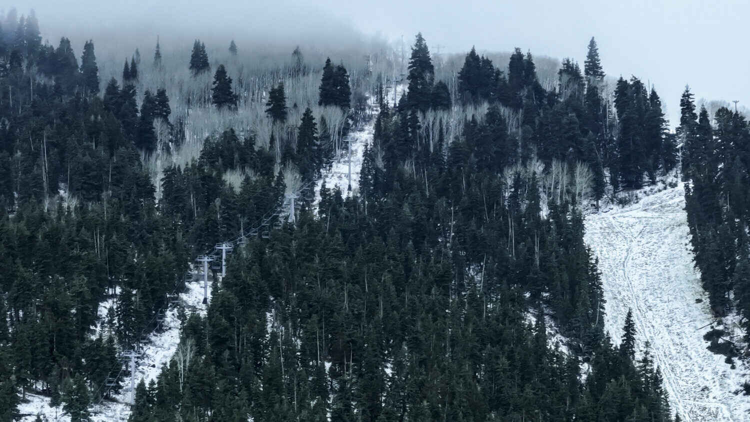
Snow is seen in the area of Park City Mountain Resort’s Town Lift in Park City on Friday, Jan. 2, 2026. (Isaac Hale, Deseret News)
(Isaac Hale, Deseret News)

SALT LAKE CITY — Utah’s snowpack, measured on Jan. 31, was the lowest ever recorded on that date, according to data from the U.S. Department of Agriculture.
The USDA said Utah had an average snow-water equivalent of 5.1 inches on the last day of January, just below the previous record low of 5.2 inches.
That data has been collected since 1981. Snow levels are recorded by weather stations operated by the USDA’s Natural Resource Conservation Service.
RECORD LOW SNOWPACK: 67 of 139 snowpack measuring sites in Utah are now experiencing their all-time lowest levels to date (OCT 1 – FEB 1) since records began in 1981. When averaging out the numbers statewide, this the worst we’ve seen it at this time in the season – 57% of normal pic.twitter.com/KQndsg8o8v
— Matthew Johnson (@KSL_Matt) February 2, 2026
Monday’s report said that of the 140 reporting sites, 31 of them saw the worst snow level ever recorded, and 12 more saw the second-worst.
“Currently, our statewide snow water equivalent (SWE) is only at about one-third of our normal statewide annual peak SWE, with only two months to go in the typical snow accumulation season,” the USDA said.
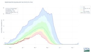
The graph shows the statewide snow water equivalent as the black line, compared with the range of previously recorded levels. (US Department of Agriculture)
Four of Utah’s water basins — Weber-Ogden, Provo-Utah Lake-Jordan, Tooele Valley-Vernon Creek, and Lower Sevier — have record low snowpacks, the USDA said. The Northeastern Uintas, San Pitch, Price-San Rafael, Dirty Devil, Upper Sevier, and Southeastern Utah basins are “very close” to record lows.