2025 snowpack forecast alarms Great Salt Lake advocates
Aug 19, 2025, 8:00 AM

The Great Salt Lake and the causeway to Antelope Island are pictured during a drought on Tuesday, July 29, 2025. (Kristin Murphy/Deseret News)
(Kristin Murphy/Deseret News)

SALT LAKE CITY — A snowpack forecast for the upcoming winter has Great Salt Lake advocates concerned about lake levels.
OpenSnow forecasters believe Utah could be in for a warm, dry winter, featuring snowfall that is below average.
The saline lake’s water levels rely on snowpack — average snowpack seasons help it maintain water, while above-average snowpack is necessary to increase the levels.
Per the forecast, an El Niño-Southern Oscillation or weak La Niña weather pattern is expected to occur this winter.
OpenSnow said the National Oceanic and Atmospheric Administration believes the chances of La Niña and El Niño are equal between October and January. From February to April, there’s a 60-65% chance of neutral conditions, with only a 25% chance of a La Niña pattern.
What is El Niño and La Niña?
El Niño and La Niña refer to climate patterns that impact the surface temperatures of ocean water.
Ocean water tends to be abnormally warm during El Niño patterns, specifically in the Pacific Ocean near the equator.
In contrast, La Niña patterns result in below-normal temperatures in the Pacific Ocean, according to the National Oceanic and Atmospheric Administration.
According to the National Weather Service, an El Niño-Southern Oscillation is a weather pattern that causes central and eastern Pacific Ocean waters to alternate between warm and cool. They can have a large impact on weather across the country.
OpenSnow’s forecast predicts that this winter could cause a weak La Niña or neutral El Niño-Southern Oscillation.
According to Grow the Flow, these conditions rarely cause deep snowpack, which is necessary to increase the Great Salt Lake’s water levels.
These conditions could be disastrous for Great Salt Lake
Low snowpack levels lead to less spring runoff, which in turn, could set the lake up to shrink even more.
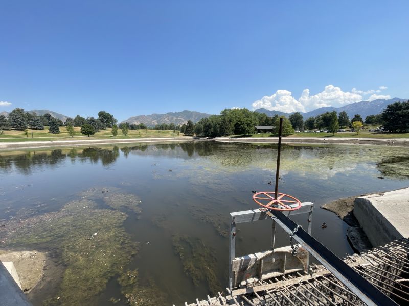
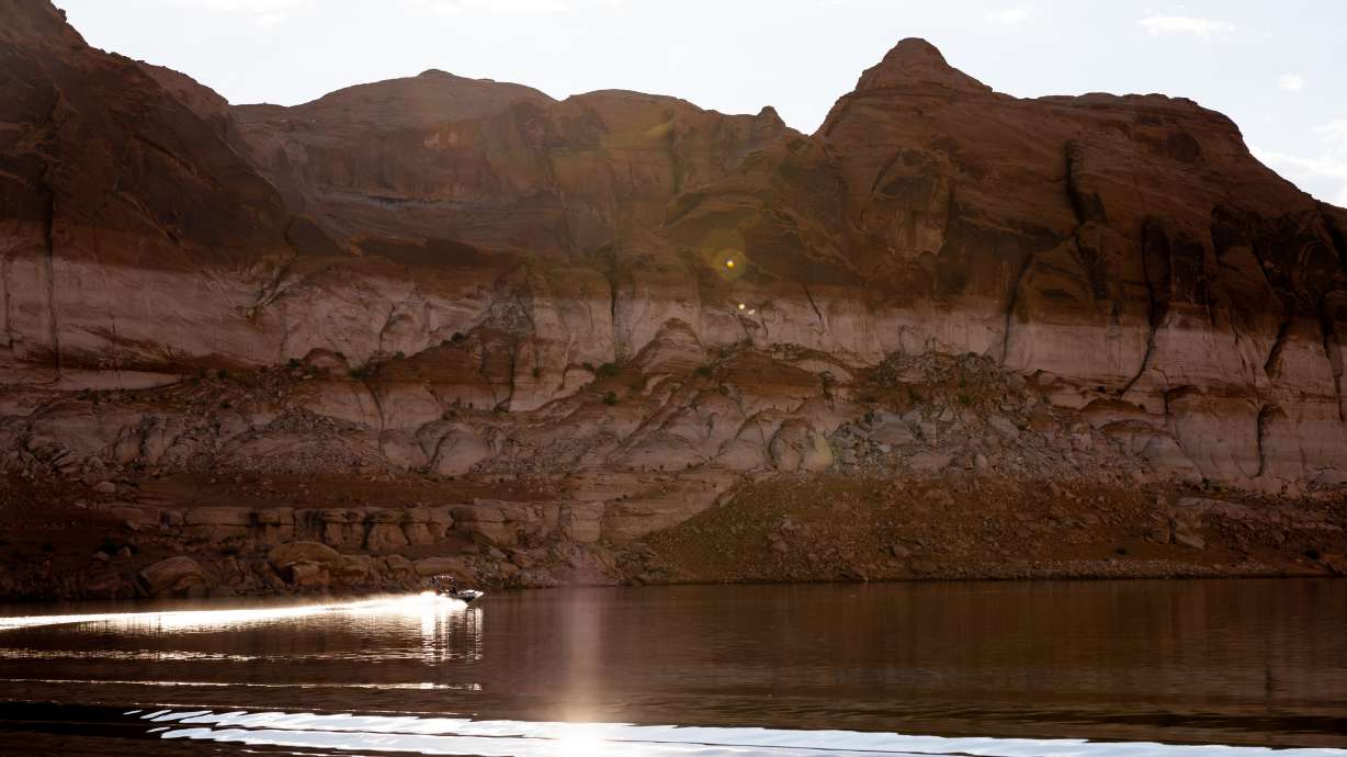
Back in July, Great Salt Lake dipped below 4,192 feet. That level is the state-established threshold for negative impacts on ecology, air quality and economics, according to Grow the Flow.
On Aug. 18, the U.S. Geological Survey’s water dashboard said the lake sat at 4,191.8 feet. Some scientists have sounded alarms — the Great Salt Lake could hit a new record low by late 2026.
The lake’s current record low was recorded in November 2022. It was 4,188.5 feet.
Low lake levels could shorten ski season
The 2022-2023 ski season brought $1.94 billion in tourism spending to Utah, generating millions in tax revenue.
Lake effect snow is responsible for up to 10% of snowpack in the Cottonwood Canyons, extending the ski season by five to seven weeks.
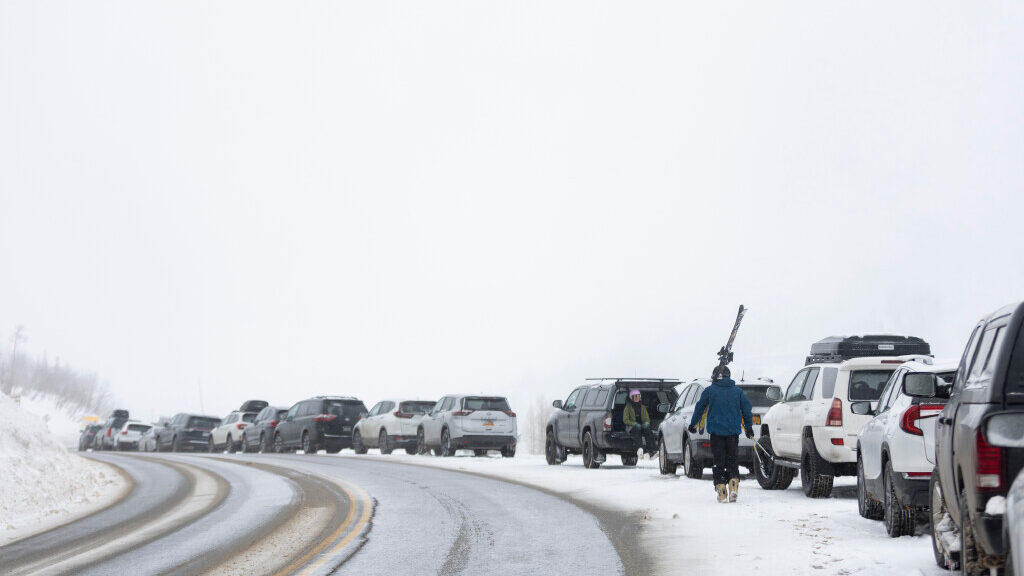
Will Malizia walks up the road to his truck where Zion Sada waits for him after a day of skiing at Snowbird Ski Resort in Little Cottonwood Canyon on Monday, March 4, 2024 (Marielle Scott/Deseret News)
The weather phenomenon occurs when cold air passes over warmer, unfrozen water. It picks up moisture and heat. As the unstable air rises and cools, it forms snow clouds.
Per Grow the Flow, shrinking surface area weakens the lake effect cycle and diminishing the length of ski season.
Additionally, wind storms can carry dust from the dry, exposed lakebed. When the sediment is deposited onto snow, its reflectivity darkens, speeding up snowmelt.
Great Salt Lake Collaborative reported on a study that linked dust to similar melting effects in the Colorado River basin.
“Each winter we gamble on snow to give Great Salt Lake a lifeline,” Ben Abbott, executive director of Grow the Flow said. “This forecast is a clear signal that we can’t count on the weather to bail us out of this crisis. If we want a healthy lake, we have to act now.”