
Lake effect snow and cold weather affects commuters
Dec 16, 2019, 12:13 PM
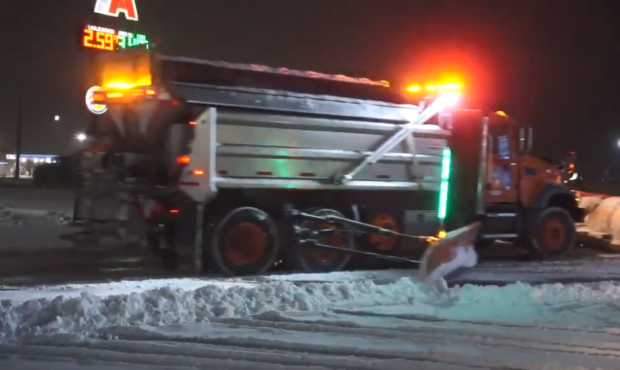
UDOT Snowplows out early Monday morning (12/16/19) in Tooele County. Photo: Derek Petersen KSLTV
(12/16/19)
SALT LAKE CITY — Unseasonably cold weather combined with lake effect snow created rough winter driving conditions through parts of the Salt Lake Valley late Sunday and early Monday morning.
KSL Meteorologist Dan Guthrie says to expect colder weather this week.
“Temperatures should be about 37 degrees this time of year but we’re only going to make our way up to 31 today and 32 for the day on Tuesday,” he said on Utah’s Morning News.
Just drove in from South Jordan to Draper to our office. Stopping ability on any snow covered road right now is TOUGH, saw a lot of accidents. Overpasses/ramps are also very icy. Be careful out there! #utwx pic.twitter.com/akGk7KaBdi
— NWS Salt Lake City (@NWSSaltLakeCity) December 16, 2019
Dan says the cold air should move out by the weekend, where we can expect temperatures back to seasonal norms at around 40 degrees.
That cold air coupled with lake effect snow caused issues on the roadways. Troopers reported a number of slide-offs and crashes, especially along I-80 and SR-21. Drive times from Tooele to I-15 reached nearly two hours; at one point, the average speed on that stretch was just 16 mph.
Update: about 2 hours from Tooele City to SLC pic.twitter.com/3F26UIAnRZ
— HALEY SMITH (@haleysmithKSL) December 16, 2019
Utah Highway Patrol also reported problems for drivers around Point of the Mountain. Overnight, crews closed all southbound lanes due to black ice. They reopened the roads in time for the morning commute, but delays still lingered.
I-15 southbound at Lehi is closed due to black ice. Please use alternate route. Lanes are expect to reopen by midnight.
— Utah Highway Patrol (@UTHighwayPatrol) December 16, 2019
More snow is expected to reach the area next week; Dan is forecasting a likely white Christmas.


