Drivers in Salt Lake Valley, Tooele could face winter driving conditions
Oct 26, 2022, 7:30 PM | Updated: 7:42 pm
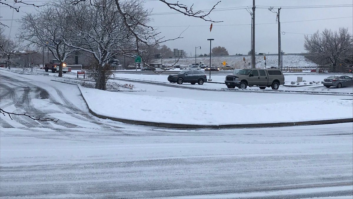
While northern Utah is expected to only receive a half inch of snow or less from the next winter strom, the National Weather Service says because of the cold temperatures any snow that falls will stick to the roads. Peter Samore, KSL Newsradio)
SALT LAKE CITY — Drivers in parts of Salt Lake and Tooele counties could be facing some winter driving conditions during their Thursday morning commutes.
Jon Wilson, a meteorologist with the National Weather Service, says lake-effect snow from the Great Salt Lake could last nearly all night.
“We do expect a lake-effect snow band to set up overnight,” he said.
Wilson says those in the western half of Salt Lake County could see snow between midnight and 3 a.m. Additionally, those in parts of Tooele County could see snow between 3 and 6 a.m.
Snow totals from the storm won’t be all that impressive, according to Wilson. However, hazardous conditions are still a possibility.
“Accumulations don’t look all that great,” Wilson said. “Maybe a dusting up to about 2 inches. But even accumulations like that can cause hazardous driving conditions out there.”
Lake effect snow will be possible into Thursday morning for Salt Lake and Tooele counties. It’s likely that snow showers will slide from east to west. Accumulations are expected to be light, but winter driving conditions are possible. #utwx pic.twitter.com/Sx6syOdiex
— NWS Salt Lake City (@NWSSaltLakeCity) October 26, 2022
Kira Hoffelmeyer contributed to this article.
Read more: