Flood warnings for Saturday in parts of Utah
Oct 11, 2025, 12:14 PM | Updated: 1:20 pm

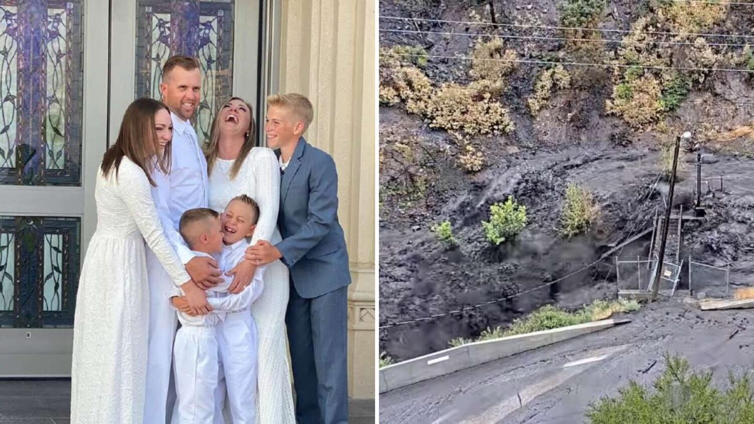
The Virgin River after a storm in Washington County passed through the area on Friday night. (Lt. Gov. Deidre Henderson via X)
(Lt. Gov. Deidre Henderson via X)
SALT LAKE CITY — Weather officials continually updated the public on Saturday as multiple rainstorms moved throughout the state, upping the chances for floods.
Flash floods
In southern and eastern Utah, a “moderate” warning for flash floods was posted by the National Weather Service.
“Those with outdoor plans in flood prone areas should consider alternate plans,” the NWS said. “Do not drive across flooded roads. Turn around, don’t drown!”
Those in southern and eastern Utah should expect a possibility of flash floods in the afternoon through late Saturday evening in slot canyons, normally dry washes and areas near recent burn scars, the NWS said.
“Impassable” roadways
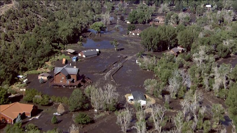
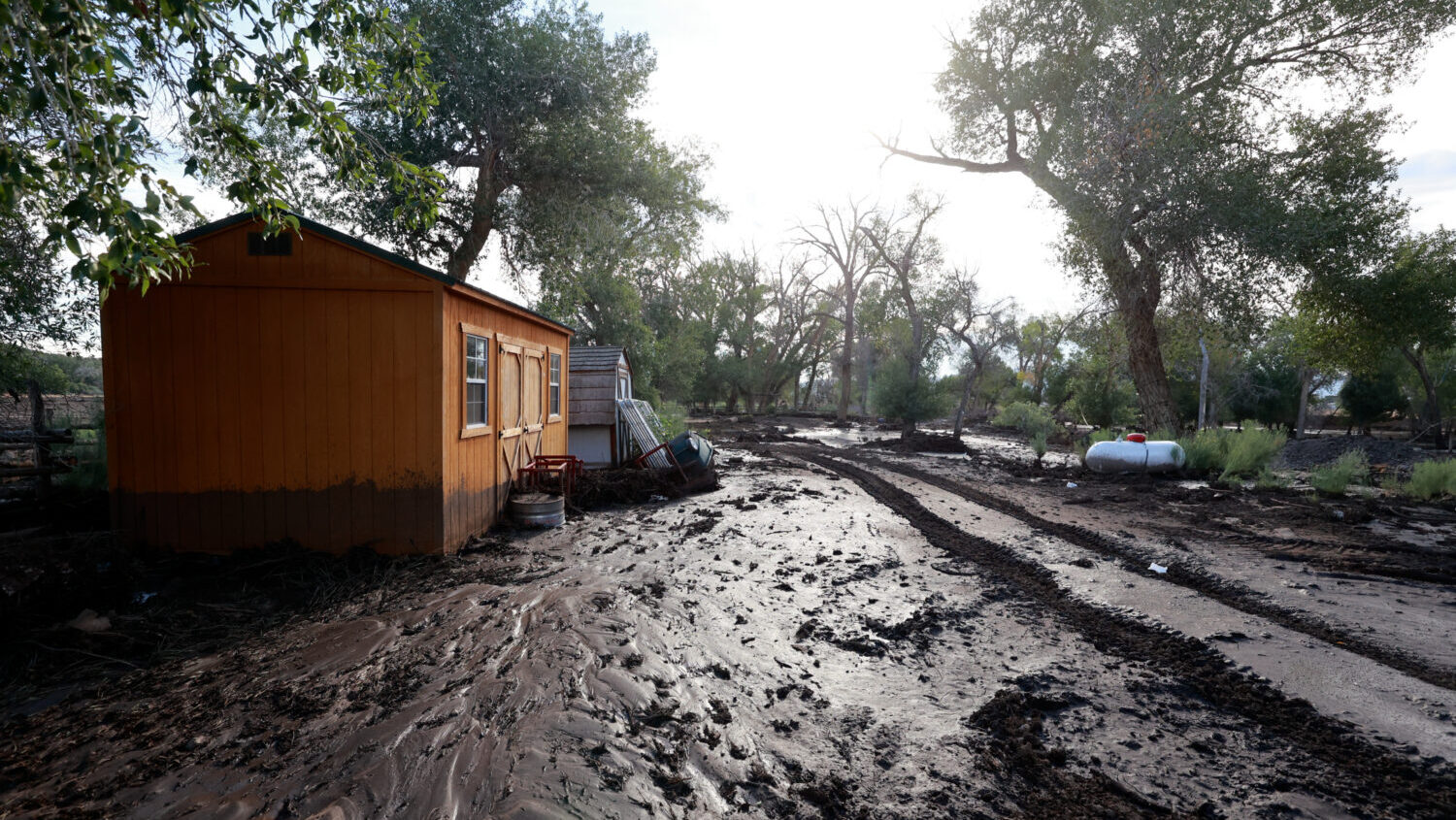
Grand County is being affected by “deep clay mud and flooding” after a storm passed through the county Friday night.
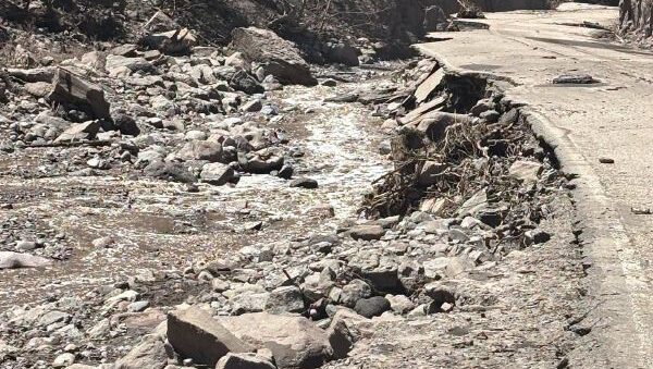
“Everything west of Yellowcat and especially north of Interstate 70 will be impassable due to extreme deep clay mud and flooding,” the Grand County Emergency Management said.
The following areas may be “impassable,” according to the emergency management.
- Sagers Canyon
- Cottonwood Canyon
- Diamond Canyon
- Hay Canyon
- East Canyon
- San Arroyo/Bar X area into Colorado
- Areas near Green River like Tusher, Coal and Horse Canyons
- Backcountry areas around Crescent Junction, Thompson, Sego, and Yellowcat
- Backcountry areas around Floy, Salt Wash, and Ruby Ranch
The Grand County Emergency Management said the listed roadways may be closed until late next week or even into the following week.
Cold front
The NWS said on Saturday that a cold front is expected to hit Utah and southwest Wyoming in the afternoon, into the evening.
“After more scattered storm coverage this afternoon, a cold front sweeping through the region late this afternoon & evening brings a heavier band of precipitation,” the NWS said. “Strong winds, strong to severe thunderstorms, high elev. snow, & cooling temps are expected to accompany its passage.”
Snow may start falling for elevations above 7,500 to 8,000 feet, the NWS said.
This story will be updated as flood and weather warnings continue to be issued on Saturday.