Northern Utah hit with surprise lake effect snow
Jan 11, 2024, 1:11 PM
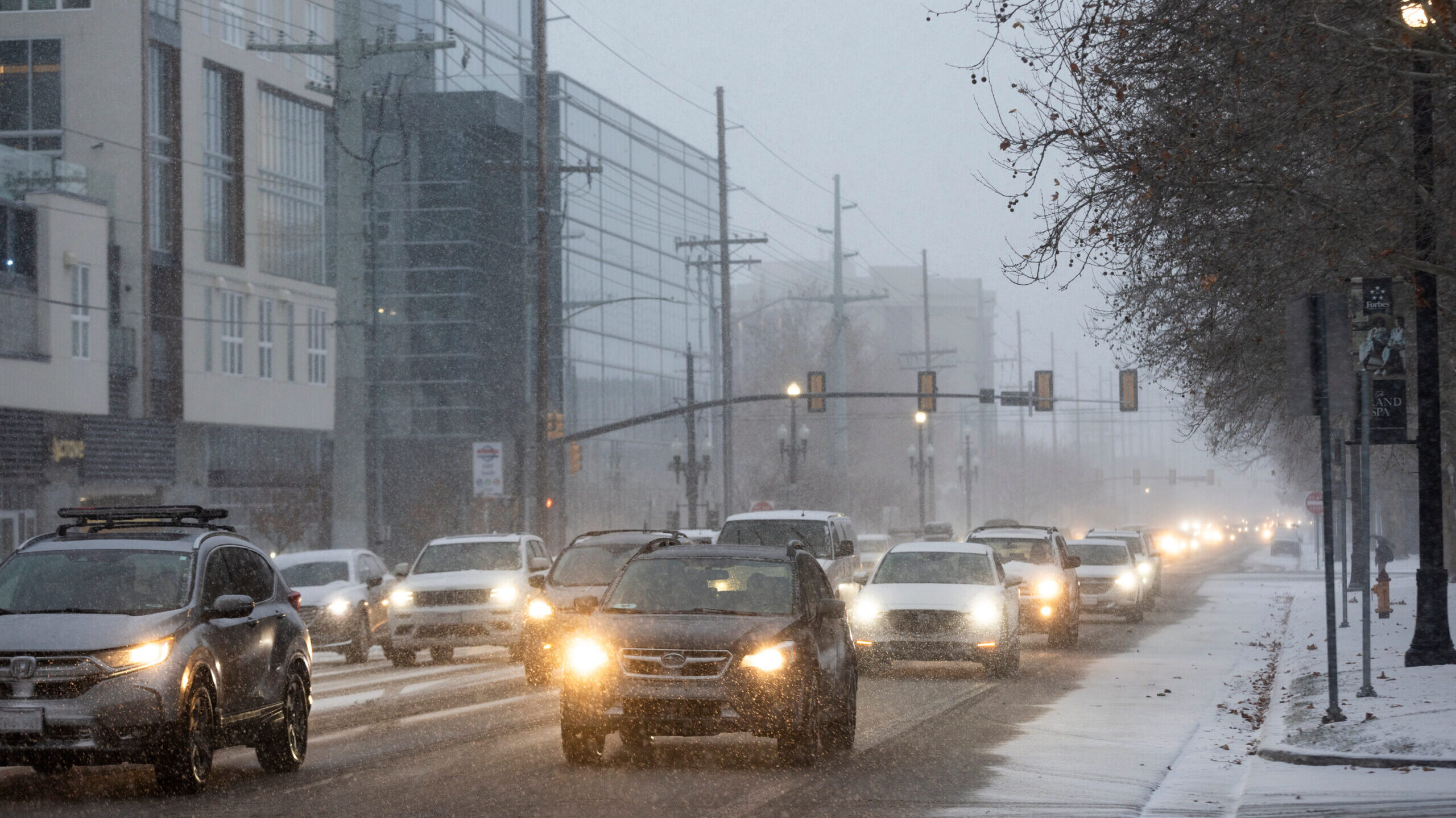
Cars drive through a snowstorm in Salt Lake City on Jan. 10, 2024. (Marielle Scott/Deseret News)
(Marielle Scott/Deseret News)
SALT LAKE CITY— What started as a seemingly calm winter forecast Thursday morning changed quickly when Mother Nature and the Great Salt Lake joined forces.
Much of the Wasatch Front got hit by lake effect snowfall during the Thursday morning commute, complicating an already cold and difficult drive to work.
What is lake effect snow?
KSL Meteorologist Matt Johnson said lake effect snow can hypothetically happen over any large body of water in the world. Here in Utah it more often than not originates over the Great Salt Lake.
A big reason it does is because the lake doesn’t freeze over due to its high salinity levels.
Lake effect can enhance active storms moving through Utah, but in Thursday’s case, it was snow predominately generated over the Great Salt Lake.
Johnson said lake effect snow makes up, on average, 5% of Utah’s yearly snowpack. It also can help set a healthy base for the seasonal snowpack in the fall.
How does it work?
Johnson said there are many moving parts needed to get lake effect snow. The most important are cold, wet air over the Great Salt Lake and the right amount of wind.
Cold, wet air interacts with the warm air just over the lake’s water surface and creates, as Johnson described, “an upward motion.”
That airflow between the two creates a condensation effect, like water running down a cold drink’s glass on a summer day. Then, it pulls water molecules into the clouds. The wind then pushes the storm clouds out to the inhabited parts of the Wasatch Front.
With the sudden lake effect snow Thursday, Johnson said Utahns can expect 1-2 inches of snow in the valleys. Lake effect snow is possible Thursday in Tooele, Salt Lake, Davis and Weber Counties.
Johnson predicted more snow showers Friday and over the weekend.
More Utah weather:
- Winter weather having a big impact on Utah snowpack
- How are avalanche danger levels determined in Utah?