Winter weather having a big impact on Utah snowpack
Jan 10, 2024, 1:00 PM | Updated: Jan 12, 2024, 2:35 pm
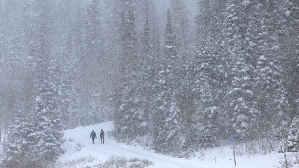
People hike to Donut Falls in Big Cottonwood Canyon on Friday, Dec. 1, 2023. (Laura Seitz/Deseret News)
(Laura Seitz/Deseret News)
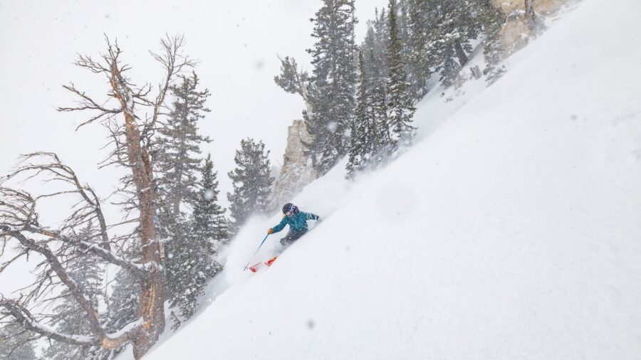
SALT LAKE CITY— All of the early 2024 snow is having a huge impact on the still-below-average Utah snowpack numbers.
According to state data, previously, snowpack only had an average of four inches of water in it. In the last seven days, it’s grown by a full inch, equating to a 25% increase.
Based on historical averages, however, Utah is still about 23% below normal for a typical January 10.
KSL Meteorologist Matt Johnson said he thinks that by Monday, we might not only catch up but pull ahead of normal snowpack averages.
Johnson said he expects the mountains to get an inch of water per day over the next four days. That would nearly double the current snow water equivalent.
“We’re really talking about a storm cycle that’s going to save the season or put us where we should be for now,” Johnson said.
Utah snowpack and a tale of two regions
Despite the much-needed snowpack boost, the statewide average doesn’t tell the whole story. According to the latest snowpack data as of Wednesday morning, some areas of Southern Utah are more than halfway to where they need to be.
Southwestern Utah is 49% below normal. The Escalante Region is 55% below normal. Both regions border Arizona.
Johnson said Southern Utah will get some snow from the storm moving through the Beehive State Wednesday night and into Thursday morning, but it’s not going to be much.
Johnson said, there is still time for them to catch up, especially given February and March are historically strong months for snowfall in Utah. But, they need to get in on the action, quick.
“Have I seen it worse off? Yes, but, the chance is still there,” Johnson said.
Related:


