Winter storm warning extended; freeze watch issued for parts of Utah
May 6, 2024, 10:00 PM | Updated: May 8, 2024, 7:07 pm

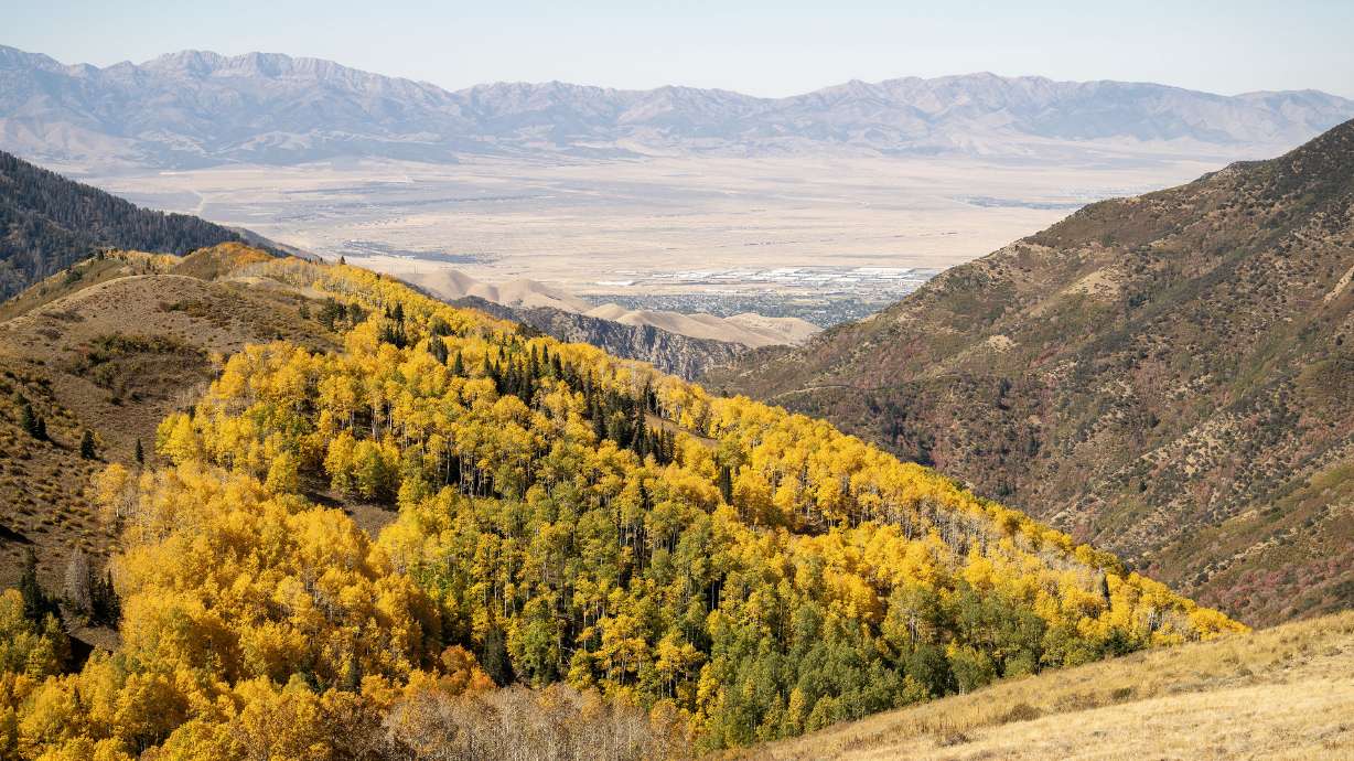
New snow covers at Snowbird in Little Cottonwood Canyon on Wednesday, May 8, 2024. The National Weather Service has extended its winter storm warning for areas of Utah. (Jeffrey D. Allred, Deseret News)
(Jeffrey D. Allred, Deseret News)
SALT LAKE CITY —The National Weather Service extended its winter storm warning for the Wasatch and West Uinta mountain ranges on Monday. It was originally slated to expire Tuesday morning, but it’ll now remain in place throughout Tuesday.
The late-season winter storm that arrived in Utah this weekend has already produced over 2 feet of snow in some parts of the Wasatch Mountains, but some areas could receive another foot of snow by the end of Tuesday.
While Alta Ski Area has wrapped up its 2023-2024 season, the resort reported at 2 p.m. Monday it had received 25 inches of snow since the storm began. Other resorts in the area reported at least 1 foot of new snow.
Storm total: 24 inches and counting 📈 pic.twitter.com/AbZHUWTpfe
— Alta Ski Area (@AltaSkiArea) May 6, 2024
Another 6 to 12 inches of snow is forecast to fall within the listed mountain ranges between Monday afternoon and Tuesday night, but up to another 18 inches of snow is possible in the upper Cottonwood canyons and parts of the Uinta mountains, according to the updated warning.
Some valley and bench communities may also receive some snow by the end of Tuesday, says KSL meteorologist Matt Johnson. He explains the additional precipitation is forecast to come from “little short waves” trailing behind the main low-pressure system that passed through Utah on Sunday and cleared the state.
The smaller storms will continue to produce pockets of rain and snow at times through the end of Tuesday. The largest of these is expected to move through the Wasatch Front and northern Utah Tuesday morning.
Most valley areas will end up with more rain, padding the impressive totals some communities have already received. Precipitation totals have exceeded 1.5 inches in parts of Salt Lake, Davis and Weber counties. South Weber has already received 2.8 inches of water, per weather service data.
Most communities between Provo and Logan could end up with another 0.2 to 0.6 inches of precipitation by early Wednesday, Johnson said.
“Some of us may see less, simply because of the scattered nature of these showers that we’ll see,” he said. “A lot of this (precipitation) will fall as rain, but we could get some pockets of snow.”
Winter storm warning in some areas, freeze watch in place for others
The passing storms will also keep temperatures below normal for most of the week. A slew of freeze watches are now in place for Tuesday night and Wednesday morning, where subfreezing temperatures are forecast.National Weather Service meteorologists say temperatures could drop into the 20s across various parts of Utah, including northern Utah, the Tooele, Rush and Utah valleys and parts of southeast Utah. Blanding, Brigham City, Grantsville, Lehi, Moab, Provo and Tooele are among the cities included in the freeze watches.
Morning temperatures are looking very chilly, especially for your Wednesday morning. Freezing or sub freezing temperatures are forecast for several northern Utah valleys. Make your necessary protections for outdoor plants and agriculture. #UTwx pic.twitter.com/B0NFEenqPd
— NWS Salt Lake City (@NWSSaltLakeCity) May 6, 2024
The agency recommends people with tender plants to protect them from the cold, drain any in-ground sprinkler systems and cover above-ground pipes.
“Frost and freeze conditions could kill crops, other sensitive vegetation and possibly damage unprotected outdoor plumbing,” the advisory states.
High temperatures along the Wasatch Front are forecast to remain in the upper 40s and low 50s through Wednesday before the region dries out. Highs are expected to return into the 60s by the end of the workweek and 70s this weekend.
Drier conditions are forecast in southern Utah, but Johnson said the unsettled weather will cause some cooldowns in the region. High temperatures in and around St. George are forecast to remain in the upper 70s on Tuesday, but dip into the low 70s on Wednesday before rising back into mid- to upper-80s this weekend.
Full seven-day forecasts for areas across Utah can be found online, at the KSL Weather Center.
READ MORE: Utah’s latest spring storm slows snowmelt, adds to snowpack