National Weather Service says watch for flooding potential for Utah rivers
May 8, 2023, 1:00 AM | Updated: 1:41 pm

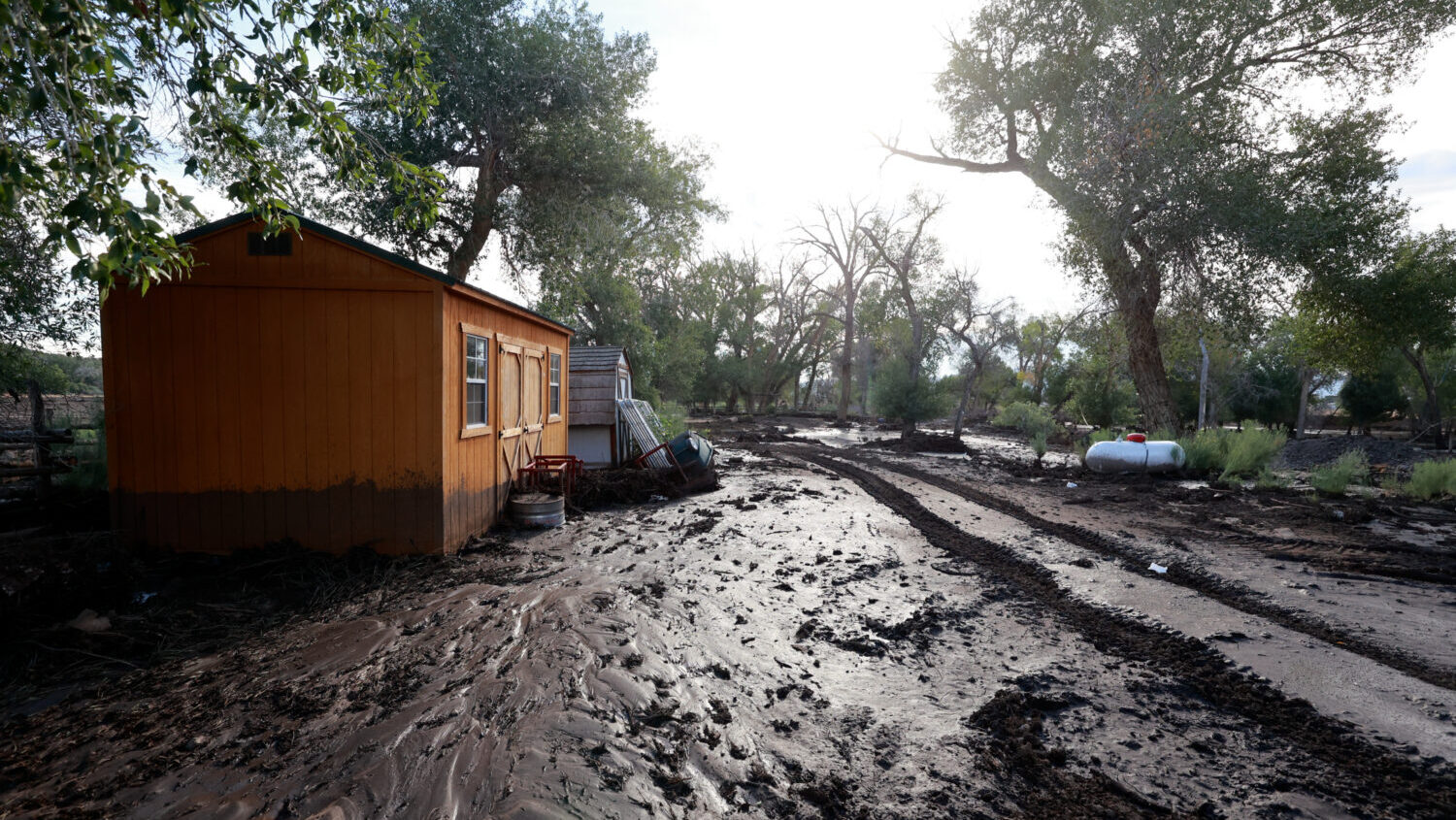
The American Red Cross is working right now to help Logan residents after a trailer park flooded. (Kristin Murphy, Deseret News)
(Kristin Murphy, Deseret News)
SALT LAKE CITY — Five Utah rivers are being monitored for flooding as snowpack continues to run off the mountains and creates different conditions when it comes to the flooding potential for Utah.
A flood warning at Bear River near Corinne, and advisory issues for the river in eastern Rich County and a portion of Wyoming as well.
⚠️A River Flood Warning has been issued for the Bear River at Corinne and will continue until further notice as flows will remain near or above flood stage for the foreseeable future. #utwx pic.twitter.com/u4FEafwteC
— NWS Salt Lake City (@NWSSaltLakeCity) May 8, 2023
⚠️An Areal Flood Warning has been issued for the Bear River in Eastern Rich County & NW Uinta County, WY until further notice. #utwx #wywx pic.twitter.com/YkOm0OHLeT
— NWS Salt Lake City (@NWSSaltLakeCity) May 8, 2023
This particular stretch of the Bear River is considered a minor weather risk.
There is also a flood warning issued for the South Fork of the Ogden River, as well as the Sevier River near Hatch. The National Weather Service considers the Ogden River to be a minor risk, and the Sevier River to be a moderate risk.
Meteorologist Linda Cheng from the National Weather Service said it’s not the cold weather that would add to the flooding potential for these Utah rivers.
“With the cooler temperatures, we are not expecting any significant changes with most of the rivers,” said Cheng. “However some rivers are going to be affected by reservoir releases and so we will have to reevaluate those rivers depending on the releases from upstream reservoirs.”
Additionally, Cheng said that the Lower Weber River and the Little Bear River will also be on flood watch. These watches will be un effect until at least Friday afternoon.
Related reading
- ‘It was fantastic.’ Pilot revels in Great Salt Lake’s wonders
- A wet winter may bring severe allergy season