Heavy fog and cold temperatures hit northern Utah
Dec 18, 2023, 7:27 AM | Updated: May 30, 2024, 9:29 am

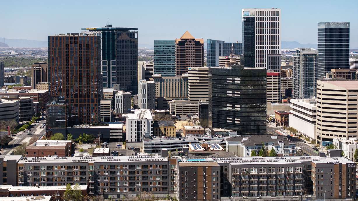
Fog seen in Salt Lake City on Monday, Dec. 18. (Adam Small, KSL NewsRadio)
(Adam Small, KSL NewsRadio)
SALT LAKE CITY – Many Utahns are waking up to heavy fog ahead of their Monday morning commute. The dense Salt Lake fog should thin out and lift by the afternoon.
KSL Meteorologist Matt Johnson said moisture from the ground and snow melt getting trapped by the cold air have caused the Salt Lake fog.
Air quality will continue to be an issue as well.
“[The air quality is] moderate to unhealthy for sensitive groups type-air. That’s about the equivalent of smoking one cigarette a day,” said Johnson.
While it’s mostly been yellow and orange around the Wasatch Front, some monitors are reaching the unhealthy range such as Weber State University, Bountiful, Rose Park, around the University of Utah, Millcreek, Sugar House, Riverton and Spanish Fork.
Thick patchy fog this morning has been reducing visibility to .16 mi or 800 feet at times. Fog banks should lift and recede into the afternoon. #utwx pic.twitter.com/blwiKUg2JQ
— Matthew Johnson (@KSL_Matt) December 18, 2023
Cold temperatures have also been present across the state.
“Thanks to inversion today, we’ll top out at 34 degrees in the Salt Lake Valley. Mostly cloudy skies and yes, dealing with the haze 27 overnight with fog reforming,” said Johnson.
For Tuesday, Johnson said to expect another round of morning fog and temperatures topping out at 38 degrees.
Johnson added that our next best chance to clear out the gunk isn’t until Saturday.
Related: