Remnants of another tropical storm set to arrive in Utah on Thursday
Aug 24, 2023, 11:00 AM | Updated: Oct 23, 2023, 12:34 pm
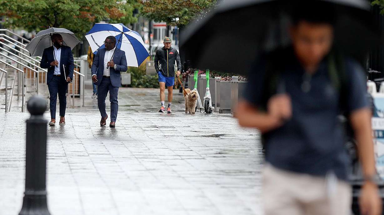
People walk in the rain in downtown Salt Lake City on Tuesday. More rain is in Utah's forecast Thursday and Friday, aided by the remnants of Tropical Storm Harold. (Kristin Murphy, Deseret News)
(Kristin Murphy, Deseret News)
Remnants of what was Tropical Storm Harold are forecast to arrive in Utah through its southeast corner Thursday after the storm made landfall in Texas on Tuesday.
KSL meteorologist Matt Johnson explains that the storm system, which moved into northern Mexico and southern parts of Arizona and New Mexico on Wednesday, will swing around a massive high-pressure system over the Great Plains, moving north into southeast Utah by early Thursday morning.
It will bring showers to the region before spreading out to other parts of the state in the form of isolated showers and thunderstorms, Johnson said.
“So almost everyone is looking at a chance for rain,” he said, adding that isolated afternoon storms will likely continue into Friday, as well.
The National Weather Service office in Grand Junction, Colorado, issued a hazardous weather outlook, advising that remnants of the storm will provide “deep tropical moisture and better upper-level dynamics” as it enters the Four Corners region. This will lead to widespread showers and thunderstorms that may have the potential to produce an inch of rain per hour or more.
“The threat for flash flooding and debris or mudslides will be on the increase through the end of the week,” the alert states.
The agency’s Salt Lake City office advises that flash flooding is “probable” across all of Utah’s national parks and other recreation areas on Thursday. The risk remains the same on Friday, except for Zion and Bryce Canyon national parks, which are upgraded to “possible.”
The remnants of Harold are set to arrive after leftovers from Hurricane Hilary and the water vapor surrounding it delivered a decent punch earlier this week. Cedar Breaks National Monument in Iron County received 2.6 inches of rain over the past four days, while Heber City, Payson and St. George all ended up with at least an inch of rain over the same period of time, according to weather service data.
Salt Lake City received nearly two-thirds of an inch between Saturday and Tuesday, as well, upping its August total to 2.57 inches, nearly 2 inches above the monthly normal over the past 30 years. Its current total also makes this year the city’s sixth wettest August on record with one week left to go, and the wettest August since 1983.
Clearer and drier conditions are forecast throughout most of Utah this weekend. Full seven-day forecasts for areas across Utah can be found online via the KSL Weather Center.
Related: Remnants of Tropical Storm Hilary pass through Utah, flooding possible