Utah’s snowpack is falling behind and the forecast doesn’t look too helpful
Dec 27, 2023, 2:00 PM
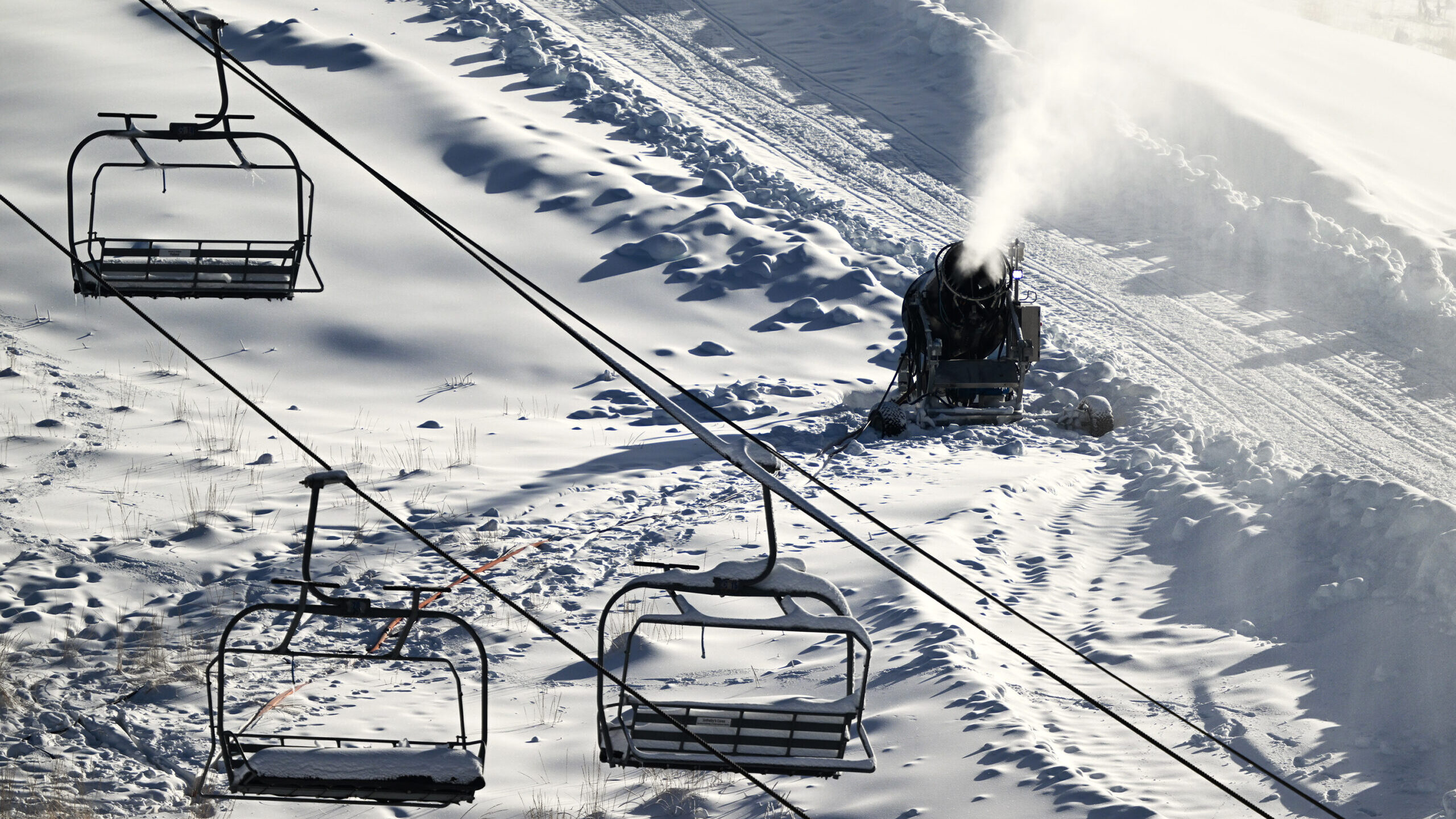
FILE: Man-made snow is blown onto the mountain at the Utah Olympic Park in Park City on Monday, Nov. 27, 2023. (Scott G Winterton, Deseret News)
(Scott G Winterton, Deseret News)
SALT LAKE CITY— Utah’s statewide snowpack totals are trending the wrong way.
As of Wednesday morning, Utah’s snow water equivalent (the amount of water in the snowpack) is 3.9 inches. Compared to historical averages, this is 28% below the normal 5.4 inches of water usually contained in the snowpack by Dec. 27.
Utah’s current snow water by region
If you break down that statewide number by region, almost all of Utah’s mountains are below where they should be in terms of water in the snowpack.
As of Wednesday, only the small Raft River region in far northwestern Utah has above-average totals in terms of snow water equivalent at 111% (100% is exactly normal).
Snow water totals are better the further north you go in Utah. The mountains in the Bear River regions around Logan and part of northeastern Utah are in the second-best shape at 13% below normal.
Weber and Davis county mountains are 17% below normal. The mountains from Salt Lake County to around the Utah County line are 28% below normal. The Tooele region is 33% below normal.
Southwestern Utah is in the worst shape. This week it’s 62% below historical averages.
Future outlook
“When we start off this rough … it’s definitely a little nerve-racking to think about,” said KSL Meteorologist Kristen Van Dyke.
Van Dyke said in terms of snow, a bad December historically is not kind to Utah. When that happens, more often than not, it’s followed by a dry January and February, which is bad news if Utahns want to avoid risking falling back into drought.
However, it’s not a done deal. Van Dyke said in 1996, Utah had a very dry December, but, bounced back with huge totals in January and February. But, she said that’s the lone exception, meaning history may not be on our side at this point.
“This type of weather pattern … makes me nervous that we might just see more of this,” Van Dyke said. “It just keeps putting pressure on January and February for us to have even bigger months than we would normally have to have.”
Van Dyke said there isn’t another potential storm in the forecast until late in the first week of January.
Months to go before spring
On the bright side, not all hope is lost. Utah’s snowpack peaks in early April, meaning we have three more months primed to drop snow in Utah’s mountains.
Van Dyke said if we want to catch up, we’re going to need consistent storms or at least one big storm at least every couple of weeks. She said even one big storm can turn the tables.
“It can change, [we] can get out of this pattern and in a big way … we’ll have to see,” Van Dyke said.
Related reading:
- As water year ends, reservoirs around Utah are in a “good place”
- Monsoon summer is priming Utah water levels for next year
- Record Utah winter makes up for years-long water shortfall