Wasatch Front could get snow every day this week
Jan 8, 2024, 1:00 PM
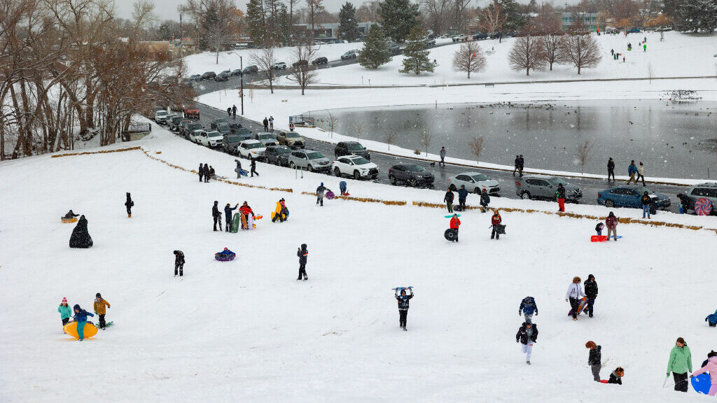
Sledders at Sugar House Park in Salt Lake City on Sunday, Jan. 7, 2024. Winter storms hit the Wasatch Front over the weekend. (Megan Nielsen, Deseret News)
(Megan Nielsen, Deseret News)
SALT LAKE CITY— The difference a week makes.
After a very dry December in terms of snowfall, areas along the Wasatch Front have the chance to see snow every day from Tuesday to at least Saturday.
KSL Meteorologist Kevin Eubank said each day has the potential to see a wave of snowfall, likely bringing an inch or two to the valleys per day. While there could be 12 to 16-hour breaks in between, Eubank said there’s a chance the valleys get 12 to 16 inches over the next seven days.
“It’s not going to be a snowpocalypse, every single day, all day long,” Eubank said.
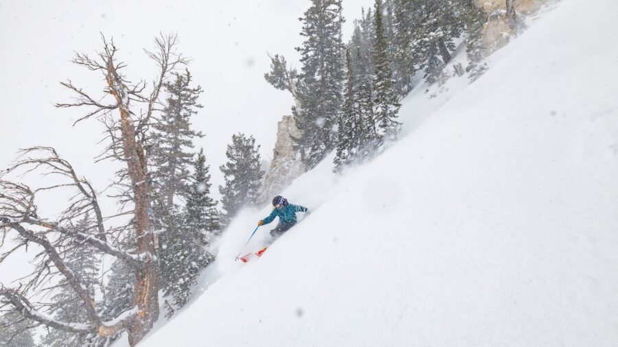
That said, the mountains have the potential to see five to six feet if everything aligns the way he thinks it will.
What changed?
Eubank said the big difference between December and now is that there’s no more high pressure.
He compared high pressure to a stop valve in a faucet. High-pressure blocks weather from the Pacific Ocean from getting to Utah. With that high pressure gone, Eubank said the water can now move freely out of the faucet.
Eubank also said he thinks this kind of active weather is not unusual, more so, December’s dry spell was unusual.
He explained sometimes Utah’s seasons get prolonged or delayed. So, this year, Fall weather lingered into December, and now, we’re just starting to see winter kick into full gear.
Eubank said open floodgates of snow could not only help Utah’s snowpack catch up from a lackluster start to winter. Furthermore, he thinks we’ll still get an average or above-average snowpack come winter’s end, despite the slow start.


