Moisture arrives in Utah and it’s not going anywhere for a week
Feb 2, 2024, 9:30 AM
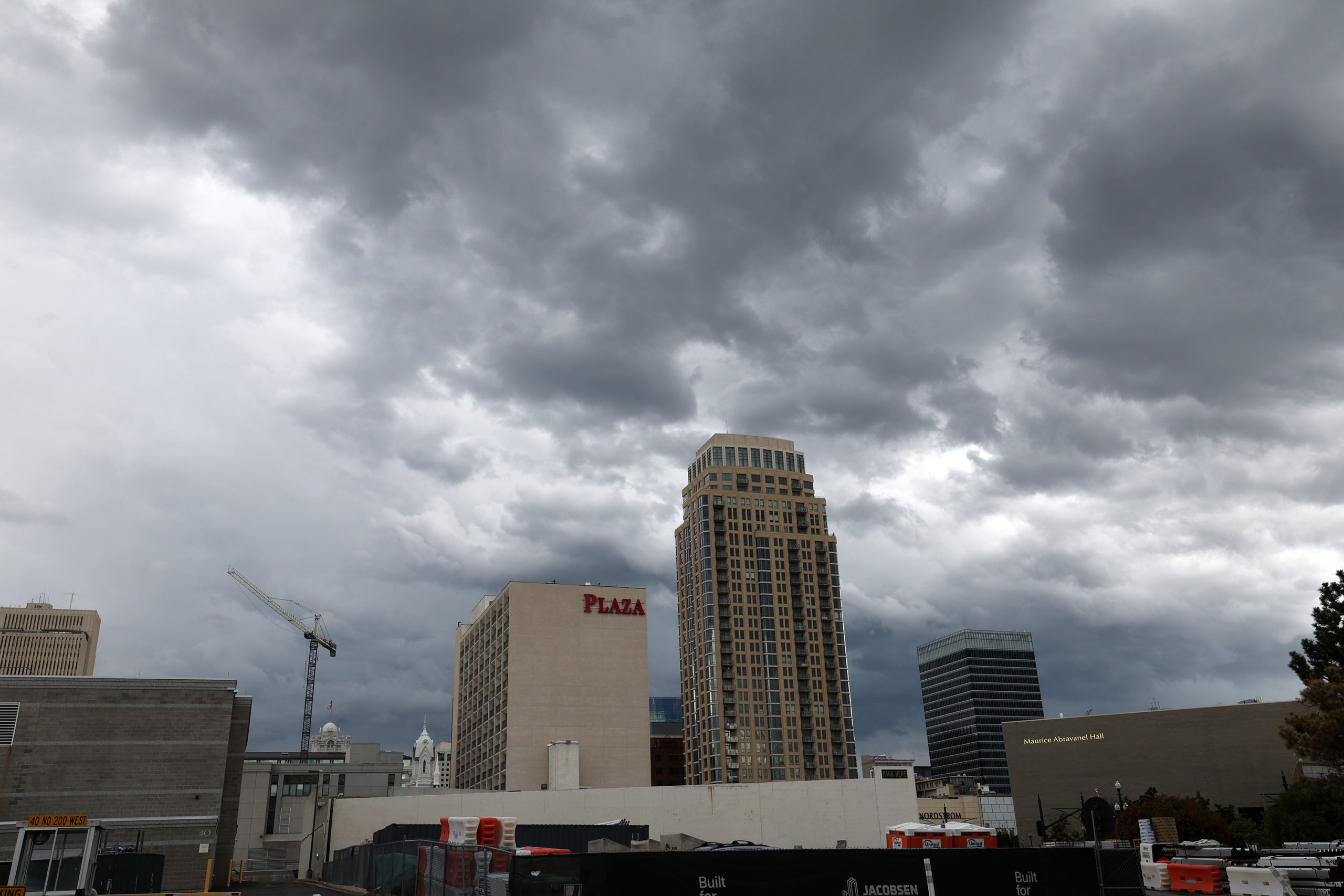
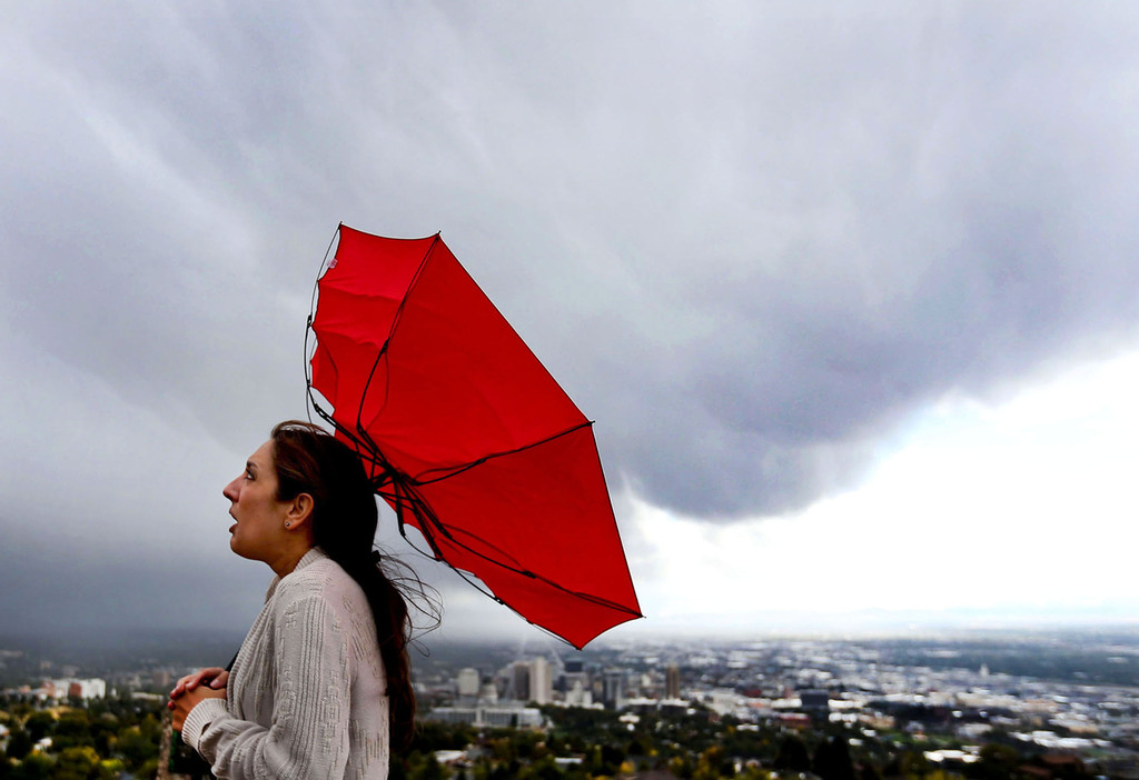
Rainy weather in the Salt Lake Valley on Wednesday, Sept. 21, 2022. (Scott G. Winterton/Deseret News)
(Scott G. Winterton/Deseret News)

SALT LAKE CITY–A tropical air current is dousing the state today and another storm lands in Utah next week.
Two ‘Pineapple Expresses,’ coming right up
Meteorologists call this phenomenon the “Pineapple Express” because the air current forms a train that rolls wet clouds from Hawaii through the southern US.
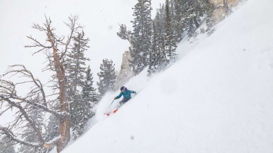
The storm system is especially affecting southern Utah. The valleys are seeing between one-third and three-quarters of an inch of rain, while the mountains are seeing significant snow.
“The mountaintops picking up seven to 14 inches in the northern mountains,” said KSL Meteorologist Matt Johnson. “But [the] southern mountains, by the end of this event tonight and into tomorrow morning? They’re talking about one to two feet [of snow].”
Johnson said the forecast across Utah gets drier after some light showers tomorrow morning.
More rain and snow next week
However, round two of the “Pineapple Express” lands in the state early next week.
“That storm will bring easily a half-inch to an inch and a quarter of water in the valleys,” said Johnson.
However, the rain totals in Utah are significantly smaller than in California. The Golden State expects about ten inches from next week’s storm alone.
The rain will continue to fall Tuesday, Wednesday, and Thursday. The good news for water watchers is also bad news for skiers and snowboarders.
The storm “will add a lot of water to our snowpack,” said Johnson, “Pushing snowpack levels above normal again across the entire state.”