Rain and snow on its way to the Wasatch Front
Feb 26, 2024, 8:26 AM | Updated: 12:45 pm
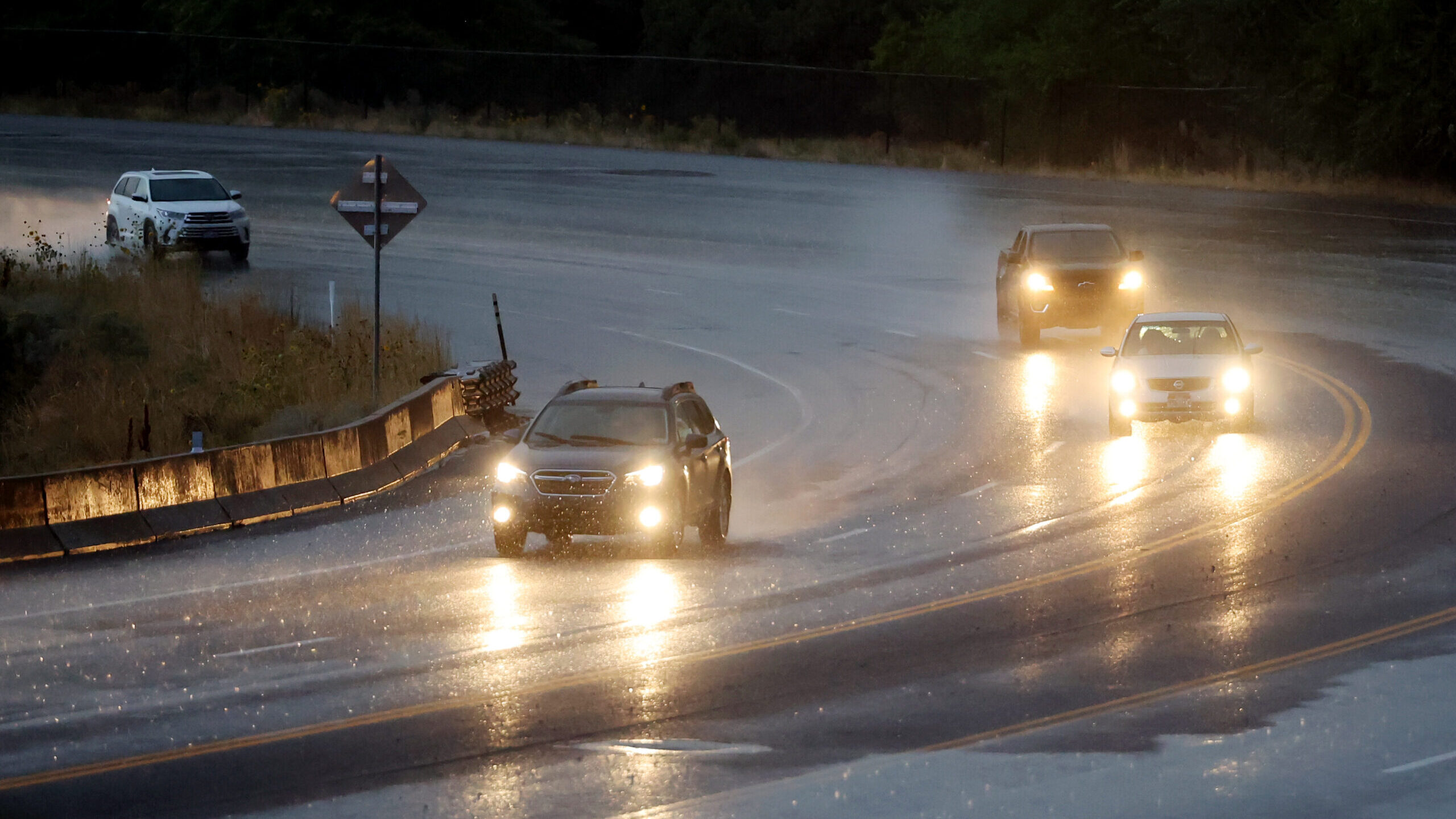
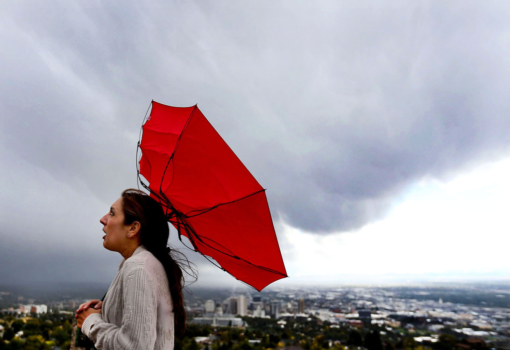
Cars drive in the rainy weather in the Salt Lake Valley on Wednesday, Sept. 21, 2022. (Deseret News Credit: Scott G Winterton, Deseret New)

SALT LAKE CITY— Enjoy the nice weather while it’s here. A storm bringing rain and snow is heading to the Wasatch Front.
KSL Meteorologist Matt Johnson said to expect clouds to increase Monday afternoon before scattered showers become possible. Additionally, expect valley rain and mountain snow to set in between 9 and 11 p.m.
According to Johnson, valley rain will turn to snow for a time overnight Monday into Tuesday. He said the valleys could see a trace to potentially two inches of snow.
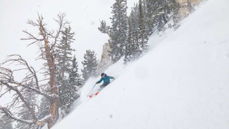
The Wasatch Mountains could see 8 to 16 inches, with Alta potentially looking at 2o inches.
Johnson said the storm will move on to Central Utah by 4 a.m. Tuesday morning. However, he thinks canyon and mountain snow could continue during the morning commute.
Temperatures are expected to plummet by 20 degrees from Monday to Tuesday. Monday, Salt Lake City is looking at a high of 57 degrees. Additionally, Tuesday is expected to reach only 37 degrees.
The storm is predicted to move out of Utah by Wednesday, with temperatures expected to rise as the week progresses.
Stay tuned into KSL NewsRadio Monday night and Tuesday morning for the latest on the storm and how it’s affecting the drive. Get traffic and weather together every 10 minutes from 3 to 7 p.m. and 5 to 9 a.m.