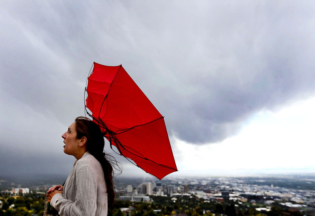
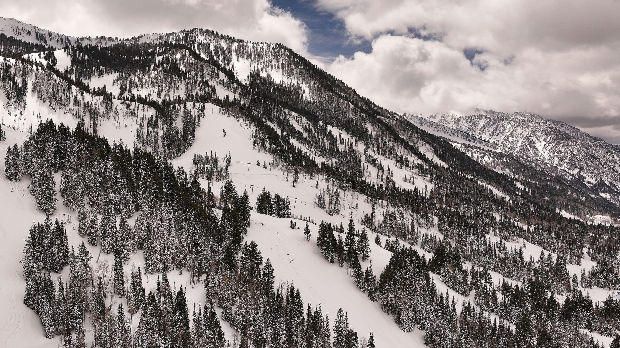
Overnight storm clearing out but another storm is on the way
Feb 27, 2024, 7:56 AM
Cars drive on I-80 with a snowy mountain backdrop after snowstorms hit the Wasatch Front throughout the week in Salt Lake City on Saturday, Jan. 13, 2024. (Megan Nielsen, Deseret News)
(Megan Nielsen, Deseret News)

SALT LAKE CITY — The brunt of the storm that hit Utah overnight has passed, at least through the valleys.
“As we go through the day, dry air is just going to keep moving into the area. And so snow showers are largely going to be in the mountains after this morning into this afternoon,” said National Weather Service lead meteorologist Christine Cruz.
As the week goes on, Utah will experience another warm before the storm.
“Snow beginning on Saturday and a strong cold front crossing [the] area bringing the potential for another round of valley snow on Sunday. So, another preview of spring going into another return to winter,” Cruz said.
According to KSL Meteorologist Matt Johnson, things will clear out later today with a warm-up through Friday before we dip into more storms.
“Dry Skies through Friday, [the temperature will be] 60 degrees. That’s a nice recovery folks only to drop it off to 52 on Saturday. More snow expected Saturday night into Sunday, highs only in the 30s Sunday and Monday,” said Johnson.
Related:
- Little Cottonwood Canyon is one of most avalanche-prone canyons in the world, U of U professor says
- Not brushing snow off your car is a safety hazard, according to Utah Highway Patrol
- Snowplows struggle to clear Utah roads amid storm, but you can help