Warning issued for parts of Utah ahead of ‘significant’ late-season winter storm
May 4, 2024, 11:15 AM | Updated: May 6, 2024, 4:13 pm

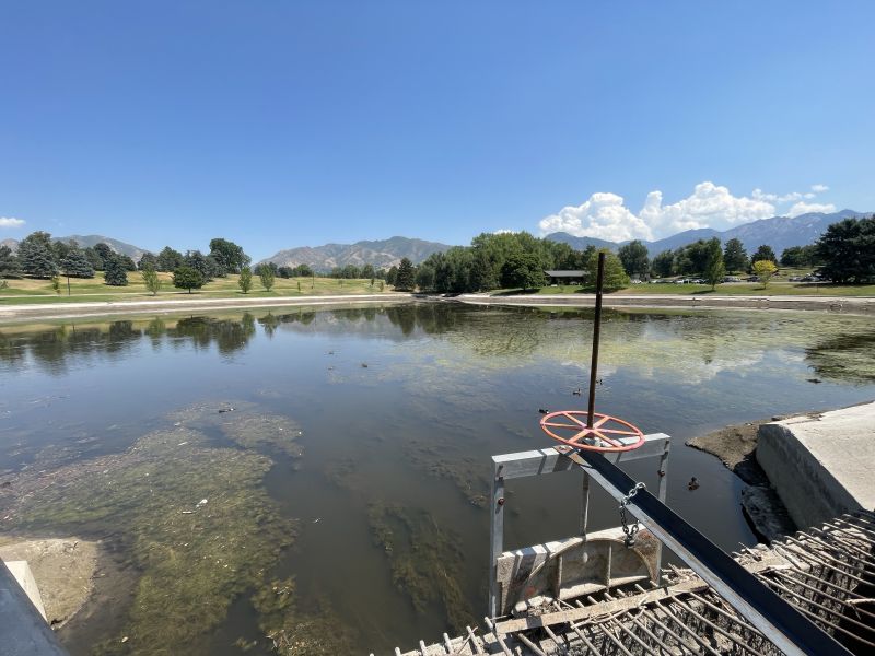
A skier is pictured at the Whitepine Trailhead in Alta on Monday, March 4, 2024. Alta Ski Resort is using new technology to help navigate avalanche mitigation. Alta's Communications Manager explains more. (Marielle Scott, Deseret News)
(Marielle Scott, Deseret News)
SALT LAKE CITY — An approaching storm means winter is not over yet in the mountains of Utah.
The National Weather Service issued a winter storm warning for the Wasatch and Western Uinta mountains ahead of a “significant late season storm” that could dump up to 2 feet in parts of the region between Sunday and Tuesday.
“Significant mountain snow across northern Utah is expected through this time, with the heaviest period anticipated on Sunday,” the agency wrote on X, formerly known as Twitter.
KSL meteorologist Kevin Eubank said some valley communities in northern Utah could also receive more than an inch of rain by Monday night.
Utah storm timing
The storm is expected to follow a smaller system that delivered a few inches of mountain snow Friday morning. It was dumping moisture along parts of the Oregon and Washington coasts Friday afternoon, but it’s forecast to move southeast, arriving in Utah by Sunday morning, Eubank said.
Please read Carter Williams’s complete story at KSL.com.
But strong winds will impact communities first. The National Weather Service issued high wind warnings and wind advisories for most of western Utah, where wind gusts of up to 55 to 60 mph are forecast between Saturday afternoon and the first half of Sunday.
A significant late season winter storm is expected to impact Utah from Sunday through Tuesday. Significant mountain snow across northern Utah is expected through this time, with the heaviest period anticipated on Sunday. Total accumulations of 8 to 16 inches are likely #utwx pic.twitter.com/AzuM3qj0jW
— NWS Salt Lake City (@NWSSaltLakeCity) May 3, 2024
Other reading: Utah bucking trend of fewer arrests for drunk driving