
Wind storms in Utah hit hard due to special weather patterns
Mar 15, 2024, 3:08 PM
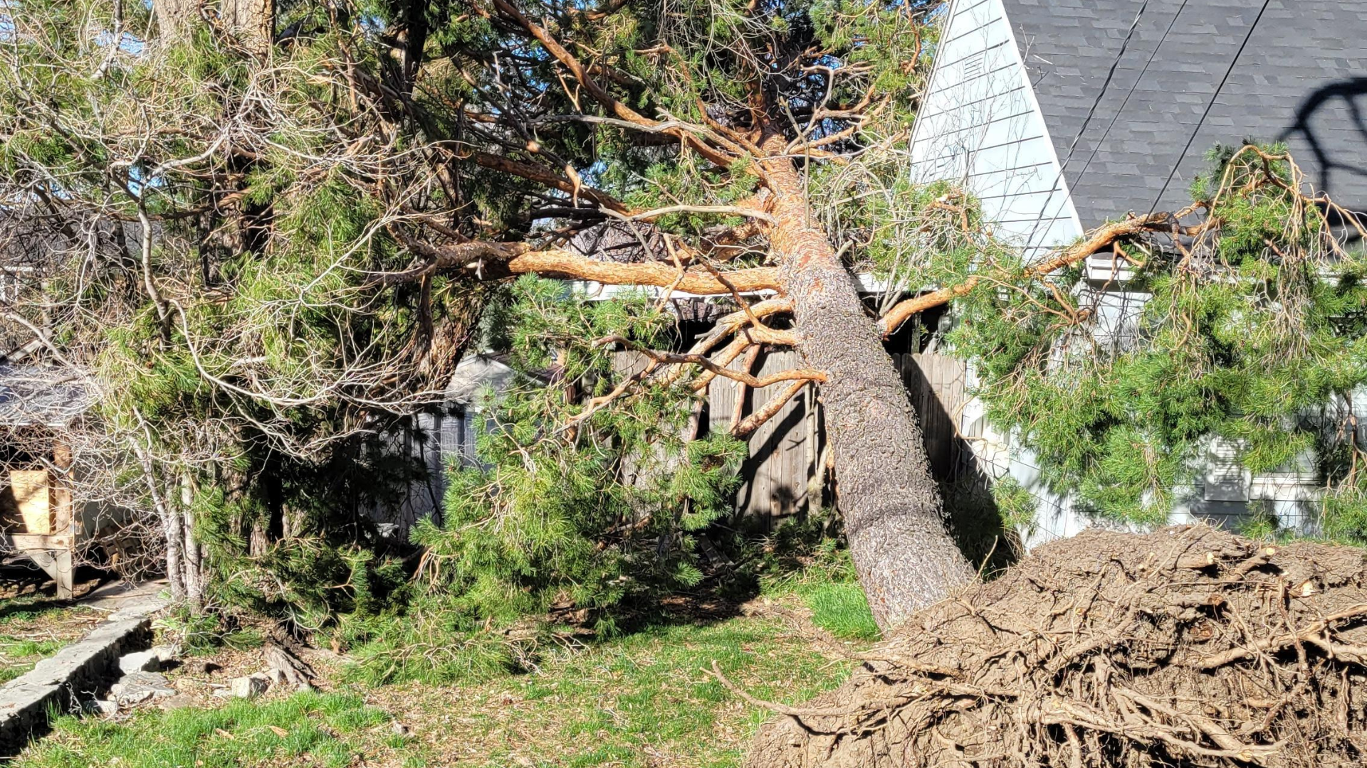
A tree and property damaged by wind in Centerville, Utah. (Rob Roueche via KSL TV)
(Rob Roueche via KSL TV)
SALT LAKE CITY — We don’t get wind storms like those seen yesterday and today very often, but when we do, they pack a punch.
The answer to why this happens is blowing in the wind, and coming directly from KSL Meteorologist Matt Johnson.
The ‘why’ of the wind storms
Wind storms in the United States usually make their way from west to east, Johnson said.
He said it takes a broken low-pressure system in the right spot to send wind the other way, west to east, which is happening here.
“You need cold air, you need a pressure difference between Wyoming and Utah, but you also need that upper-level support from the low-pressure system.”
Our mountains are another ingredient added to the mix that makes these wind storms strong and fast.
PEAK WIND GUSTS: Highest valley wind gust so far was north of Brigham City along I-15 at 70 mph. #utwx
This is good news, minimal damage being noted across the Wasatch Front considering the forecasted potential for 80 mph. pic.twitter.com/NcDrXzaaED
— Matthew Johnson (@KSL_Matt) March 15, 2024
“Terrain is helping out to speed up that wind. It’s on the other side, it’s coming down the mountain,” Johnson said.
Johnson said all of these elements make it hard to tell exactly how fast the wind will be before it hits.
He said some areas didn’t turn out as strong as anticipated yesterday, because the system lacked cold air and didn’t have a perfectly straight path.
Related reading:
- Severe storms with tornadoes kill at least 3 in the central US
- South Jordan still cleaning up after tumbleweed take over


