So much snow in northern Utah! When does it end?
Feb 22, 2023, 10:15 AM
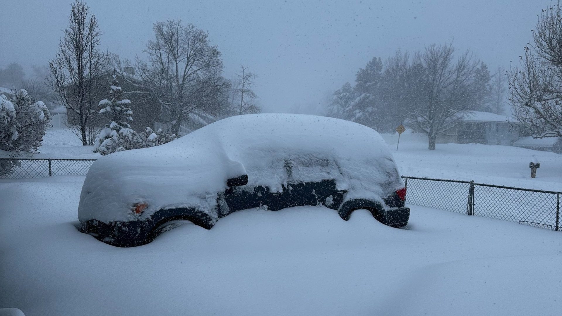
The snowpack in Utah is high and it will continue to grow with additional snowstorms expected in the next few weeks. (Michael Todd)
(Michael Todd)
SALT LAKE CITY – Ski resorts are loving it (when skiers can get there) and drivers are lamenting the latest winter storm to drop feet of snow on northern Utah.
🚧#RoadClosureUpdate🚧
👋 Reminder LCC travelers, #SR210 is CLOSED for @UDOTavy avalanche mitigation.Don’t block neighborhood access while you wait. This includes not stopping in intersections & in front of driveways. Avoid idling if possible.
Est opening is still UNKNOWN. pic.twitter.com/K7Sdpm09YG
— UDOT Cottonwood Canyons (@UDOTcottonwoods) February 22, 2023
By Wednesday morning, many school districts were closed or on virtual learning schedules. And there were mass transit delays across northern Utah as well as flight delays at Salt Lake City International Airport.
And we’re not quite done.
The National Weather Service has a winter storm warning in effect through 11 p.m. Wednesday night.
Here’s a look at the Winter Storm Severity Index (WSSI) over the next 3 days, through midday Friday. Moderate, Major and Extreme winter weather impacts are expected from the West Coast to New England with travel not advised in the Upper Midwest due to blizzard conditions. pic.twitter.com/fcwxg5E7gQ
— National Weather Service (@NWS) February 21, 2023
On top of the already fallen snow, the NWS said as much as seven more inches could fall on:
- Bear River Valley,
- Bear Lake,
- Weber County,
- Davis County, and
- Eastern Box Elder, and Cache counties.
The Salt Lake Valley could also see 4 to 9 more inches of snow before the storm is done.
And the NWS reports that Utah County could see 2 to 5 more inches of snow, with as much as 10 inches of new snow in the Woodland Hills and Elk Ridge area.


